Don’t know where to start?
Use our Quiz below to find what type of information you are looking for:
I want to access soil data...
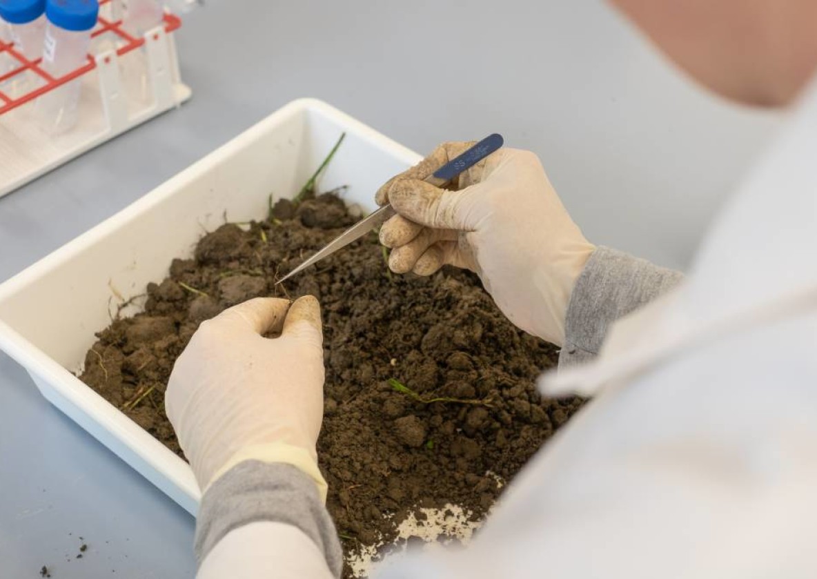
I want to diagnose my own soil...
Help me understand soils...
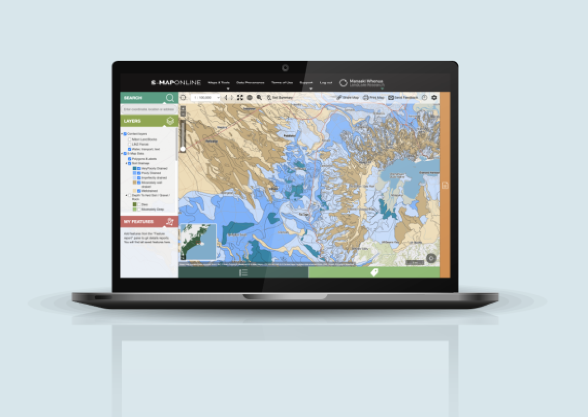
S-map Online
The digital soil map of New Zealand
S-map data includes fundamental soil property data - such as depth, stoniness, clay and sand content - created from field observations and expert knowledge, as well as derived soil data based on models (e.g., available water, macroporosity, P retention, pH, and soil carbon).
The tool also allows you to create custom soil maps and download soil factsheets for specific locations.
The tool also allows you to create custom soil maps and download soil factsheets for specific locations.
Updates to the New Zealand Soil Classification and Soil Description Manual
Your opportunity to have a say - deadline: 30 April 2025
Draft updates to our two core field standards for soils work are now available for review: The New Zealand Soil Classification (NZSC), updated in 2010, and the New Zealand Soil Description Handbook last updated in 1995. The deadline for comment is Wednesday, 30 April 2025.
Learn more on how to participate
Manaaki Whenua – Landcare Research
Science for our land and our future - Tō tātou whenua, mō āpōpō.
We are New Zealand’s Crown Research Institute (CRI) for our land environment. Our ambition is that New Zealanders use our land, soil, and water resources wisely. Finding a healthy way to balance land and ecosystem use is critical to our future prosperity, using information and tools to support effective management of our land resources.