Ross Sea Region Soil Sites
20000
20
2-Nov-1964
IBC, GGC
Northern Victoria Land near Hallett Peninsula; on Felsite Island at the southern end of Edisto Inlet
Soil characterisation
MZMS 166; 1960 Tucker Glacier
B&W pro
No
169.8500
-72.4333
72deg 26.0'S
-169deg -51.0'E
| On the edge of a narrow beach ridge on the northeastern side of Felsite Island; the surface is a beach remnant, about 5m above sea level and has been partly eroded by ice from |
| the Edisto Glacier; |
4
NE
5
cf. Notes for GEOLAND below
Oceanic subxerous, soil moisture derived from occasional snowfalls
-15
Coastal Antarctic
Subrounded moderately sorted beach gravel, mainly metagreywacke but some basalt also present
Nil observed
Nil
| SURFACE WEATHERING or |
| SURFACE FEATURES |
subrounded to subangular pavement of pebbles, cobbles and occasional boulders, unstained
Nil
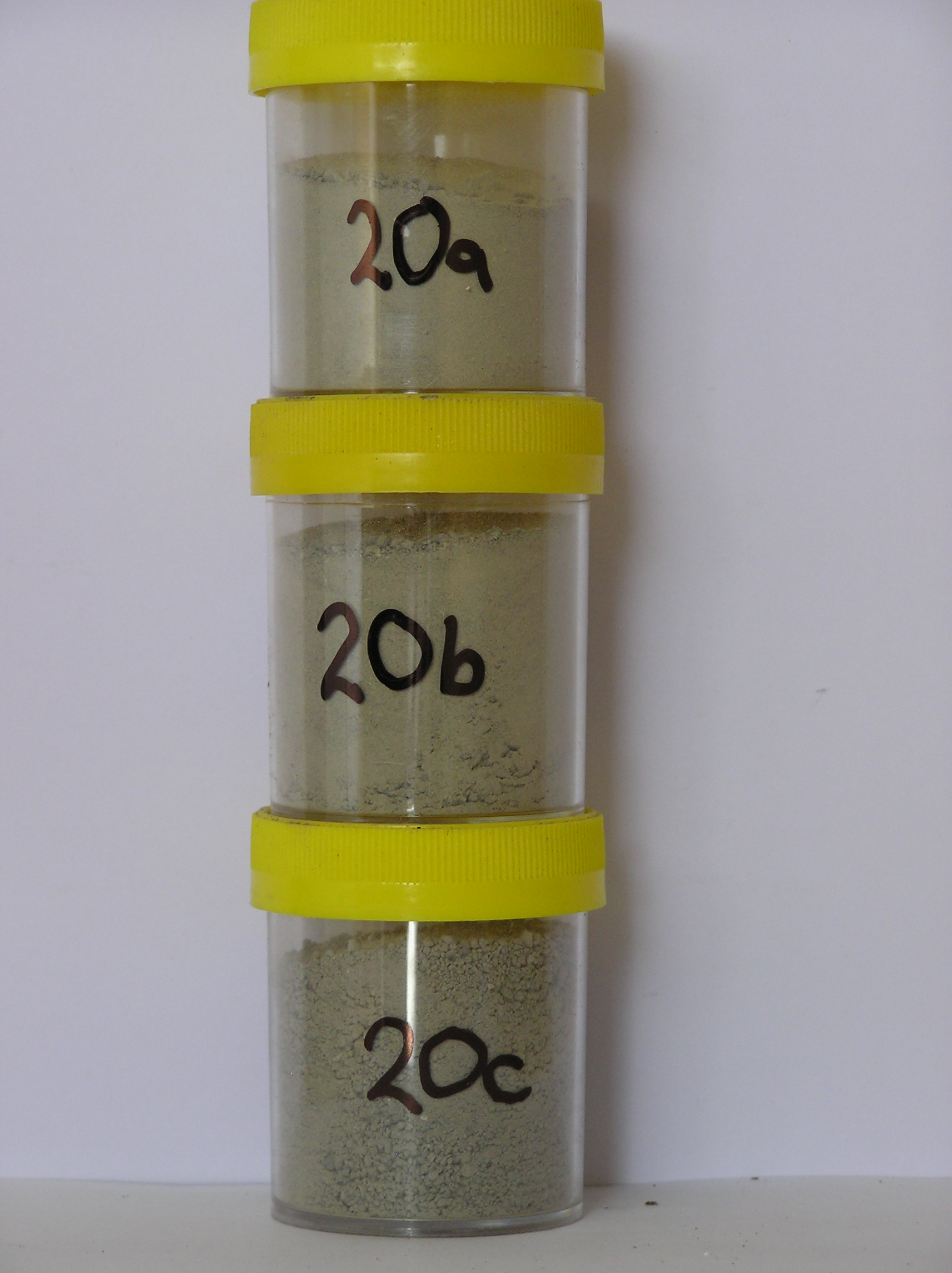
20a 0-8cm
201
light grey (2.5Y 7/2-5Y 7/2) pebble and cobble gravel
202
loose
203
some small salt flecks and some shell fragments present
204
loose
205
rock particles subrounded
206
indistinct boundary,
20b 8-30cm
301
light olive grey (5Y 6/2) pebble and cobble gravel
302
horizon slightly moist and weakly frosted
303
rock particles subrounded
304
distinct boundary,
20c 30-40cm
401
light grey (5Y 7/2) pebble and cobble gravel
402
compact and frosted
403
rock particles subrounded
404
sharp boundary, on frozen ground .
5-0cm
101
surface pebbles and cobbles
102
subrounded to subangular and unstained,
Yes
a,b,c
Hard ice-cemented
40
1
(40cm)
Geoland
| Small remnant coastal beach deposits, formed either through uplift or as a result of higher sea levels, occur just above sea level in places around the coast at |
| Felsite Island; the deposits are well sorted, form small flat topped terraces and are derived mainly from metagreywacke rocks of the Robertson Bay Group |
| Soluble Salt |
| Concentration |
2000001
20a
0-8cm
0
8
none
2000002
20b
8-30cm
8
30
none
2000003
20c
30-40cm
30
40
none
12-Dec-2005
Page 20 of 896
20