Ross Sea Region Soil Sites
55000
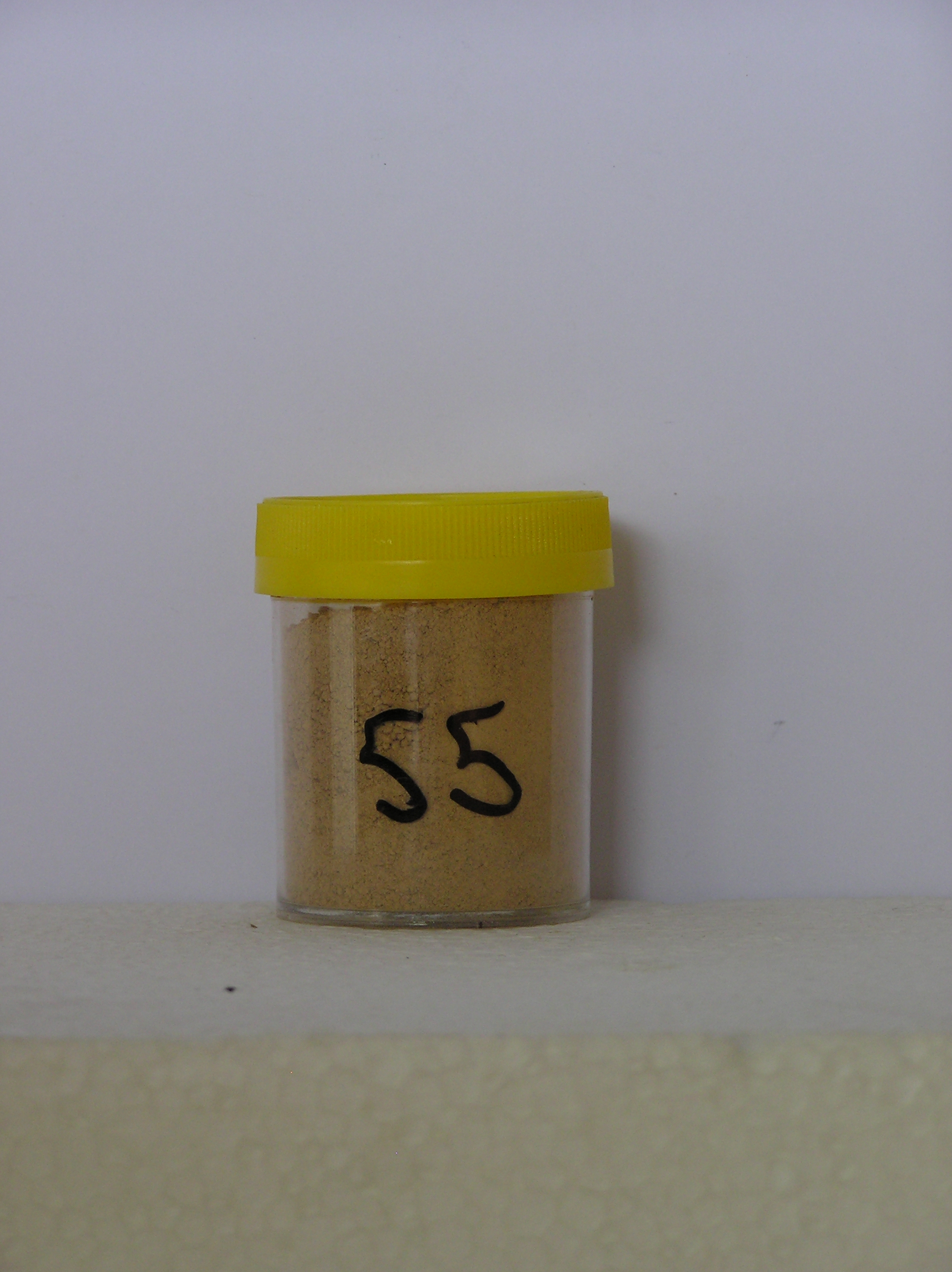
55
1-Dec-1964
IBC, GGC
Shackleton Glacier, Queen Maud Mountains, on mountain slopes to the south of McGregor Glacier at the northern end of the Cumulus Hills
Soil crust examination, single sample
USGS 1:250 000 1968; Liv Glacier SV 1-10/5
No
174.9670
-85.1500
85deg 9.0'S
-174deg -58.0'E
NE facing slope, about 15m above glacier level, on a scree slope on the lower slopes of ridge, 2km NNW of Mt.Kenyon
25
NE
1,700
Ferrar Dolerite sills outcrop with Beacon Group sediments, these rocks forming the main components of the tills which mantle most of the lower slopes
(25o)
Xerous; numerous snow patches but no thawing
-35
Central mountain
Mainly dolerite and some fine grained sedimentary rocks with some addition of aeolian sediment (snow loess)
Nil observed
Nil
| SURFACE WEATHERING or |
| SURFACE FEATURES |
Subrounded to subangular dolerite cobbles and pebbles with moderate surface staining; accumulated fine material forming a surface crust
Nil
55a 0-5cm
101
yellowish red to brownish yellow (7.5YR 6/6-10YR 6/4) gravelly silt
102
cohesive
103
vesicular structure.
Yes
a
Hard ice-cemented
30
3
(30cm)
| Soluble Salt |
| Concentration |
5500001
55a
0-5cm
0
5
none
12-Dec-2005
Page 55 of 896
55