Ross Sea Region Soil Sites
57000
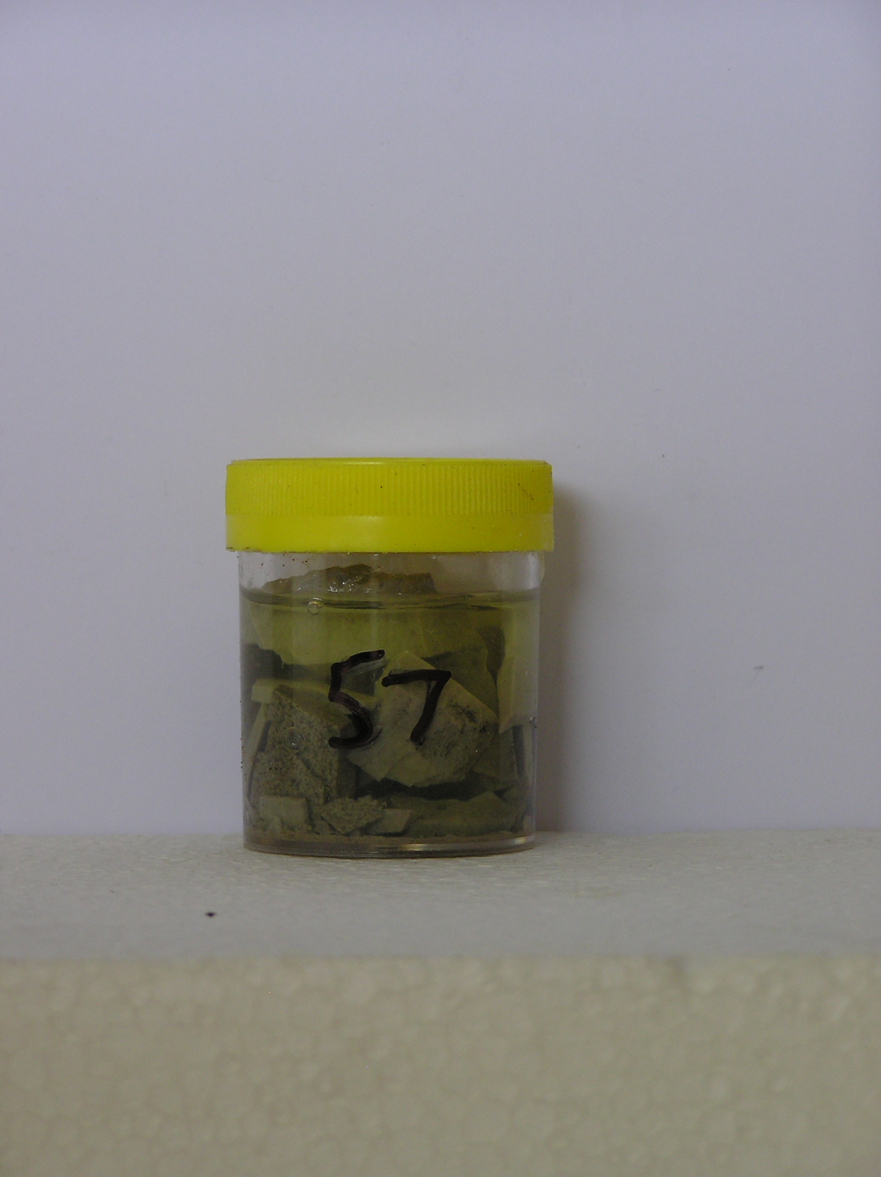
57
1-Dec-1964
IBC, GGC
Shackleton Glacier, Queen Maud Mountains, on mountain slopes to the south of McGregor Glacier at the northern end of the Cumulus Hills
Examination of salts
USGS 1:250 000 1968; Liv Glacier SV 1-10/5
No
164.9670
-85.1500
85deg 9.0'S
-164deg -58.0'E
On a ridge surface north of Mt. Kenyon at an outcrop of light coloured shale from Beacon Group sediments
6
NE
1,800
Beacon Group sediments outcrop between dolerite sills; the sediments vary greatly and range from sandstones, shales quartzites and coal measures
(6o)
Xerous
-35
Central mountain
Not observed
Nil
| SURFACE WEATHERING or |
| SURFACE FEATURES |
Salt precipitation
Nil
57 NoDsc
101
Yes
a
NoObs
0
(NoObs)
| Soluble Salt |
| Concentration |
12-Dec-2005
Page 57 of 896
57