Ross Sea Region Soil Sites
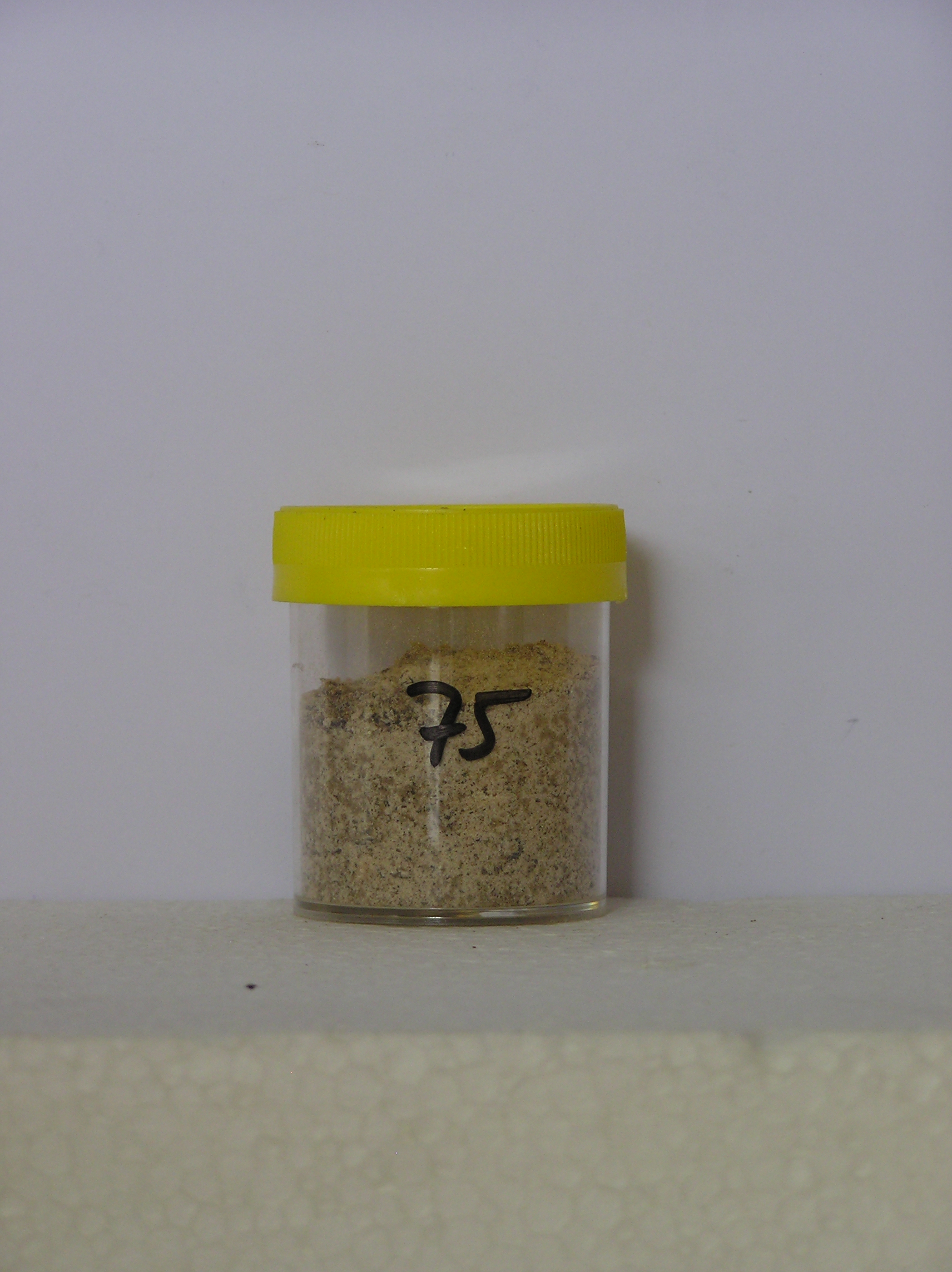
75000
75
7-Dec-1964
IBC, GGC
Shackleton Glacier, Queen Maud Mountains, near the south of the Swithinbank Moraine
Soil characterisation
USGS 1:250 000 1968; Liv Glacier SV 1-10/5
B&W & CS Pro & Lscp
No
176.7670
-85.2000
85deg 12.0'S
-176deg -46.0'E
About 2 km south of Matador Mountain on an extensive till plain; on a slight terrace, a few m above the lowermost till surface
0
Nil
1,625
cf. Notes for GEOLAND below
(0o)
| Xerous; recent snow fall with extensive thin (2cm) cover of snow; minor moistening of the |
| soil surface in places |
-30
Central mountain
Bouldery sandy/silty till from dolerite and sedimentary rocks; may include some granite
Nil observed
Weakly developed
| SURFACE WEATHERING or |
| SURFACE FEATURES |
| Distinct rounding and staining of surface boulders but non pitted; some exfoliation and polish; a surface crust formed in places due to occasional soil |
| moistening; a distinct salt horizon on higher surfaces |
Nil
75 4-0cm
101
pale brown (7.5YR 6/4) granular and pebbly sand between surface boulders
102
loose
103
sharp boundary,
75a 0-5cm
201
very pale brown (10YR 7/3) gravelly sandy silt
202
cohesive
203
well developed surface firm crust with vesicular structure becoming less cohesive downwards
204
distinct boundary,
75b 5-13cm
301
pale yellow (2.5Y 7/4) bouldery gravelly sandy silt
302
loose
303
some white salt flecks diffused through the horizon
304
larger rock particles subrounded to subangular
305
some coarse grained rocks crumbly
306
indistinct boundary,
75c 13-40cm
401
pale yellow (2.5Y 7/4) gravelly sandy silt with boulders
402
loose
403
very pale brown (10YR 7/4) staining around some rock particles
404
subangular and subrounded rock particles with some crumbly coarse grained rocks
405
indistinct boundary,
75d 40-84cm
501
light grey (2.5Y 7/2) sandy silt with boulders
502
loose
503
coarse particles unstained and subangular to angular
504
becoming light grey (5Y 7/1) at the base of the horizon
505
sharp boundary, on clear stagnant ice.
Not sampled
a
Dry frozen over stagnant glacial ice
84
3
(84cm)
Geoland
| Swithinbank Moraine comprises an extensive area of ablation till, between Matador Mountain and the Bennett Platform and is derived from a stranded part of |
| the McGregor Glacier; the tills are largely ice cored and comprise mainly dolerite (coarse materials) and Beacon Group sediments (fine fractions) |
| Soluble Salt |
| Concentration |
12-Dec-2005
Page 75 of 896
75