Ross Sea Region Soil Sites
76000
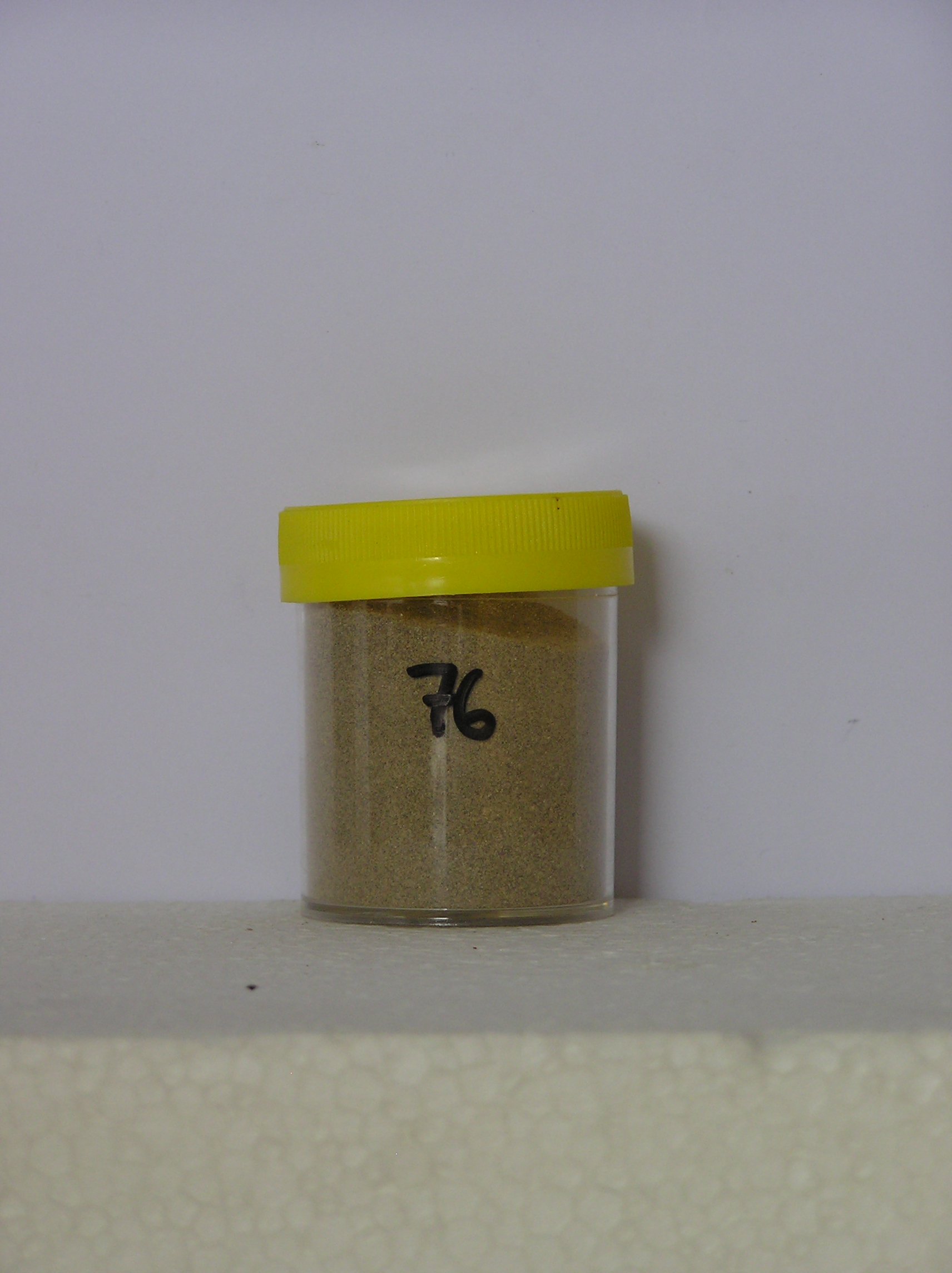
76
10-Dec-1964
IBC, GGC
Shackleton Glacier, Queen Maud Mountains, at the southern end of the Cumulus Hills, just north of Zaneveld Glacier junction with Shackleton Glacier
Weathering examination
USGS 1:250 000 1968; Liv Glacier SV 1-10/5
No
176.4000
-85.3667
85deg 22.0'S
-176deg -24.0'E
The crest of a hill at Wiest Bluff, a rounded convex surface with no cover material; sample collected from crevasses in dolerite rock
0
Nil
2,160
cf. Notes for GEOLAND below
(0o)
0
6.0
2
1.0
15
-11.0
Ultraxerous, intermittent snow cover but no thawing observed
-40
Inland mountain
Aeolian deposit and weathered rock material
Nil observed
Nil
| SURFACE WEATHERING or |
| SURFACE FEATURES |
Nil
76a 0-3cm
101
light yellowish brown (10YR 6/4) granular sand
102
alongside dolerite rock
103
the soil is dark reddish brown (5YR 3/4) with reddish yellow (5YR 6/8) flecks
Yes
a
10
5
(10cm)
Geoland
| Dolerite outcrops widely in an undulating ice overridden landscape; cover deposits are patchy varying from bouldery felsenmeer regolith to intermittent till |
| patches; surface age is variable owing to remnant snow fields which behave as local nevee glaciers |
| Soluble Salt |
| Concentration |
7600001
76a
0-3cm
0
3
none
12-Dec-2005
Page 76 of 896
76