Ross Sea Region Soil Sites
81000
81
10-Dec-1964
IBC, GGC
Shackleton Glacier, Queen Maud Mountains, at the southern end of the Cumulus Hills, just north of Zaneveld Glacier junction with Shackleton Glacier
Soil characterisation
USGS 1:250 000 1968; Liv Glacier SV 1-10/5
B&W Pro & Lscp
No
176.2330
-85.3500
85deg 21.0'S
-176deg -14.0'E
Approximately 2 km ENE of Wiest Bluff, on the upper slopes of a very broad bouldery convex sloping ridge; at the centre of a polygon
12
N
1,950
| Cover deposits are patchy, varying from bouldery felsenmeer regolith to intermittent till; at this site, bouldery dolerite, comprising mainly angular flaggy clasts covers the |
| surface |
(12o)
Ultraxerous, isolated small (<1m) patches of snow mainly behind larger boulders
-40
Inland mountain
Bouldery dolerite till
Nil observed
10m domed nets with 50cm deep border troughs
| SURFACE WEATHERING or |
| SURFACE FEATURES |
| Boulders are mainly subangular and flaggy with only slight rounding on corners; weak to moderate surface staining with no pitting or exfoliation; salts |
| beneath surface stones |
Nil
81 5-0cm
101
surface granules pebbles and boulders
102
angular to subangular
103
weakly to moderately stained
104
salt accumulations beneath some stones,
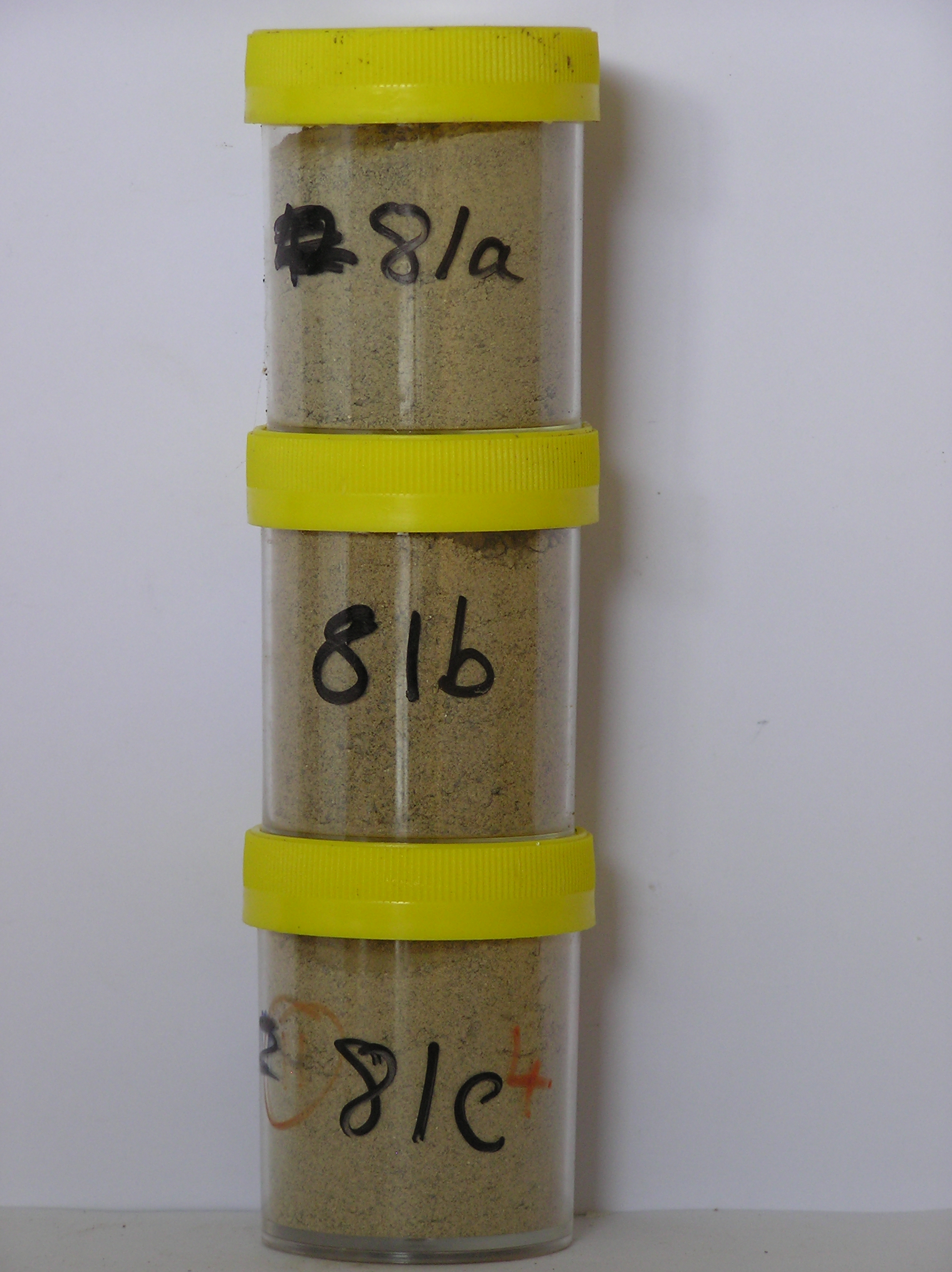
81a 0-5cm
201
pale brown (10YR 6/3) bouldery sandy gravel
202
fine fraction between boulders cohesive
203
strongly developed vesicular structure
204
salt accumulations beneath surface stones
205
rock particles subangular to angular and moderately to strongly altered with brown stained surfaces
206
distinct boundary,
81b 5-10cm
301
pale brown (10YR 6/3) bouldery sandy gravel
302
loose to weakly cohesive
303
salts diffused through the horizon
304
subangular to angular, but moderately to strongly altered and with brown stained surfaces
305
indistinct boundary,
81c 10-25cm
401
pale brown (10YR 6/3) bouldery sandy gravel
402
loose
403
rock particles subangular to angular but moderately to strongly altered and with brown stained surfaces
404
sharp boundary, on frozen ground
Yes
a,b,c
Hard ice-cemented
25
2
(25cm)
| Soluble Salt |
| Concentration |
8100001
81a
0-5cm
0
5
none
8100002
81b
5-10cm
5
10
none
8100003
81c
10-25cm
10
25
none
12-Dec-2005
Page 81 of 896
81