Ross Sea Region Soil Sites
82000
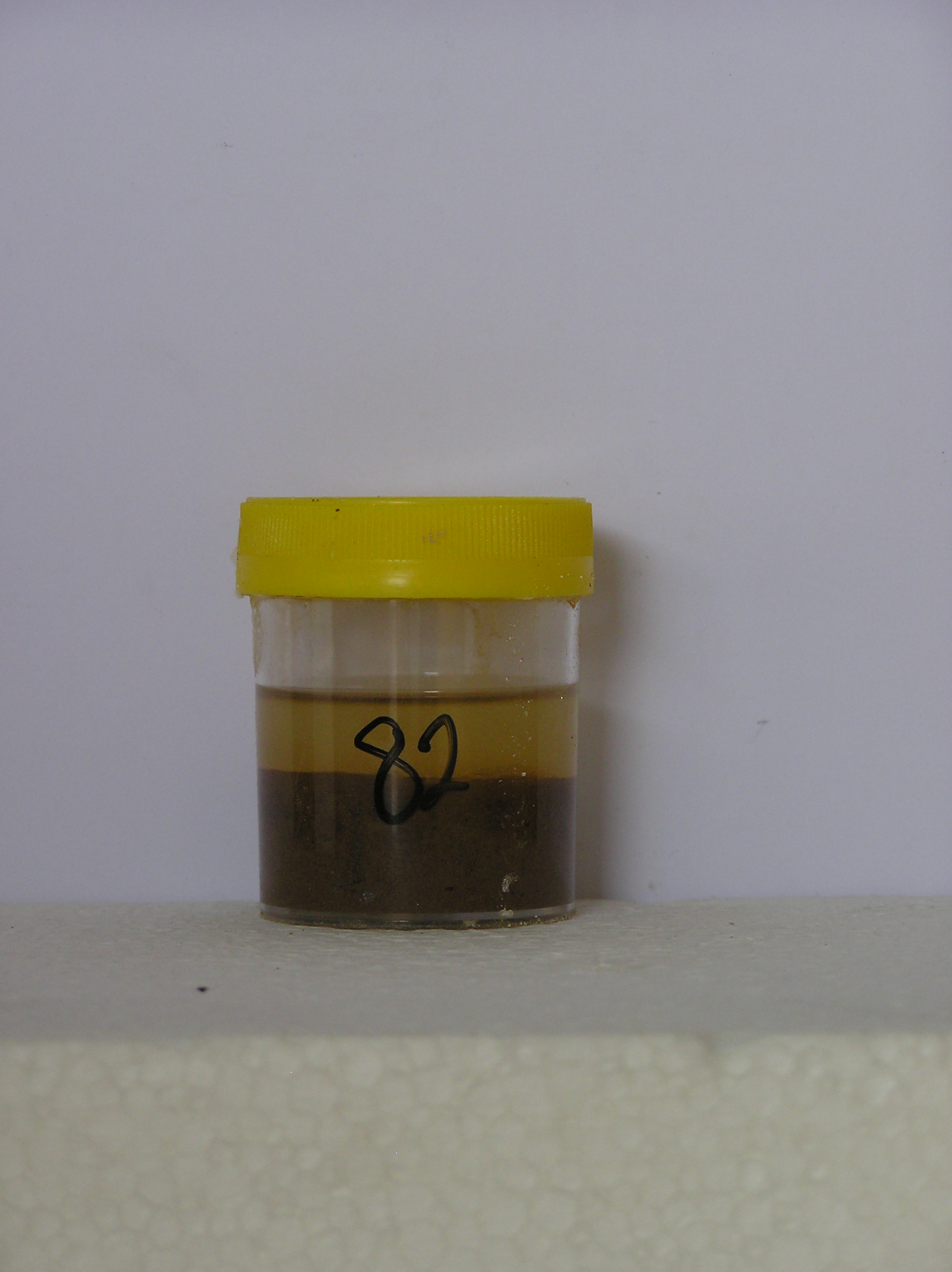
82
10-Dec-1964
IBC, GGC
Shackleton Glacier, Queen Maud Mountains, at the southern end of the Cumulus Hills, just north of Zaneveld Glacier junction with Shackleton Glacier
Weathering examination
USGS 1:250 000 1968; Liv Glacier SV 1-10/5
No
176.2330
-85.3500
85deg 21.0'S
-176deg -14.0'E
Approximately 2 km ENE of Wiest Bluff, on the upper slopes of a very broad bouldery convex sloping ridge;
2
N
1,950
| Cover deposits are patchy, varying from bouldery felsenmeer regolith to intermittent till; at this site, bouldery dolerite till comprising mainly angular flaggy clasts, covers the |
| surface |
(2o)
Ultraxerous, isolated small (<1m) patches of snow mainly behind larger boulders
-40
Inland mountain
Brown patches of doleritic soil with salt accumulations, beneath surface stones and in some cracks between surface rocks
Nil observed
10m domed nets with 50cm deep border troughs
| SURFACE WEATHERING or |
| SURFACE FEATURES |
cf. Notes for SURFWEA below
Nil
82a 0-4cm
101
strong brown (7.5YR 5/6) gravelly sand with salt accumulations .
Yes
a
NoObs
0
(NoObs)
Surfwea
| Boulders are mainly subangular and flaggy with only slight rounding on corners; weak to moderate surface staining with no pitting or exfoliation; salts beneath |
| surface stones; some accumulations of browner coloured soil material occur beneath some surface stones and in some cracks between surface rocks |
| Soluble Salt |
| Concentration |
8200001
82a
0-4cm
0
4
none
12-Dec-2005
Page 82 of 896
82