Ross Sea Region Soil Sites
83000
83
12-Dec-1964
IBC, GGC
Head of Shackleton Glacier at Roberts Massif, Queen Maud Mountains, on the edge of the Polar Plateau
Soil characterisation
USGS 1:250 000 1968; Liv Glacier SV 1-10/5
B&W Pro & CS Lscp
No
177.1670
-85.4833
85deg 29.0'S
-177deg -10.0'E
| A rough uneven very bouldery young surface at the north of Roberts Massif near Everett Nunatak, about 200m from the edge of a tongue of glacial ice; boulders up to 3m |
| across |
0
Nil
1,900
cf. Notes for GEOLAND below
(0o)
0
-12.0
5
-7.0
30
-8.0
40
-9.0
Ultraxerous, some patches of drift snow mainly behind larger boulders but no thawing
-45
Inland mountain
Till derived from dolerite, Beacon Group sediments, reworked older lithified till and some granitic material
Nil observed
Nil
| SURFACE WEATHERING or |
| SURFACE FEATURES |
| Mainly unstained subangular dolerite boulders but some large rounded tillite boulders; some minor exfoliation; smaller granules and pebbles at the surface |
| may have been wind transported; some darker coloured dolerite boulders may have been reworked |
Nil
83 5-0cm
101
surface boulders, cobbles and pebbles
102
dolerite mainly subangular and unstained,
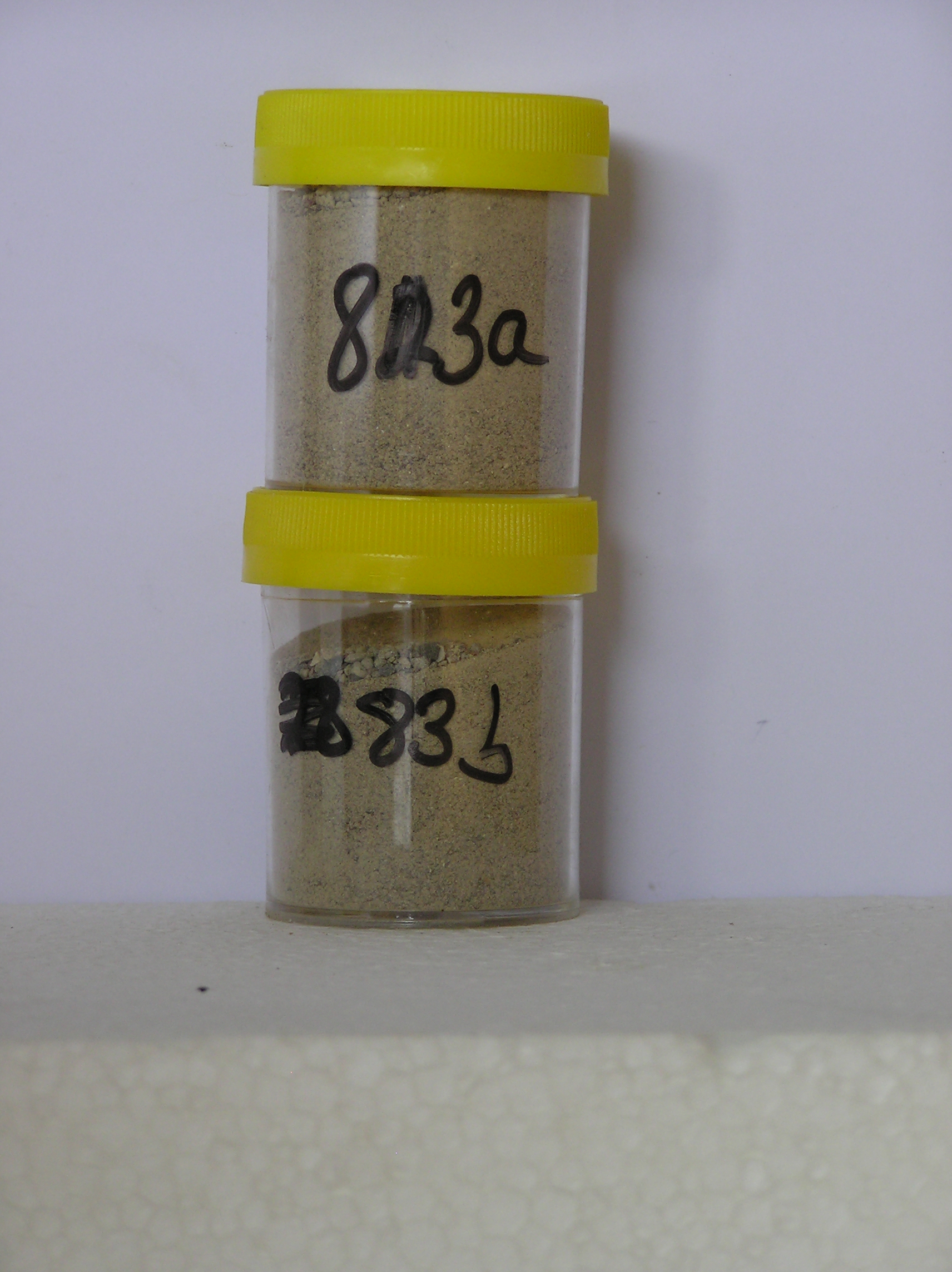
83a 0-7cm
201
pale yellow (5Y 7/3) sandy bouldery pebbly gravel
202
moderately cohesive
203
profuse salt flecks with some patches of concentrated salt
204
rock particles mainly subangular and unstained but some strongly altered
205
distinct boundary,
83b 7-40cm
301
pale yellow (5Y 7/3) bouldery pebbly sand
302
weakly cohesive
303
few salt flecks
304
rock particles mainly subangular to angular and unstained but some strongly altered
Yes
a,b
Dry frozen
0
2
Geoland
| Dolerite and Beacon Group sediments outcrop on overridden surfaces while deposits of old lithified till containing Ferrar Dolerite also occur; the older lithified |
| till may be Sirius Formation; the landscape is old but geomorphic development is complicated by the movement and retreat of ice from several directions |
| Soluble Salt |
| Concentration |
8300001
83a
0-7cm
0
7
none
8300002
83b
7-40cm
7
40
none
12-Dec-2005
Page 83 of 896
83