Ross Sea Region Soil Sites
90000
90
14-Dec-1964
IBC, GGC
Head of Shackleton Glacier at Roberts Massif, Queen Maud Mountains, on the edge of the Polar Plateau
Soil characterisation
USGS 1:250 000 1968; Liv Glacier SV 1-10/5
B&W Pro & Lscp
No
174.6670
-85.5167
85deg 31.0'S
-174deg -40.0'E
An undulating surface on the lower altitude basin-like surfaces of Roberts Massif, approximately 13km E of Misery Pk.; on the upper slope of a low convex moraine ridge
5
N
2,100
cf. Notes for GEOLAND below
(5o)
Ultraxerous; no snow
-45
Inland mountain
Loose bouldery till derived mainly from dolerite, overlying grey older till
Nil observed
Nil
| SURFACE WEATHERING or |
| SURFACE FEATURES |
Dolerite boulders subrounded to subangular and wind abraded, many with venticular form; moderate to strong surface staining and wind polish
Nil
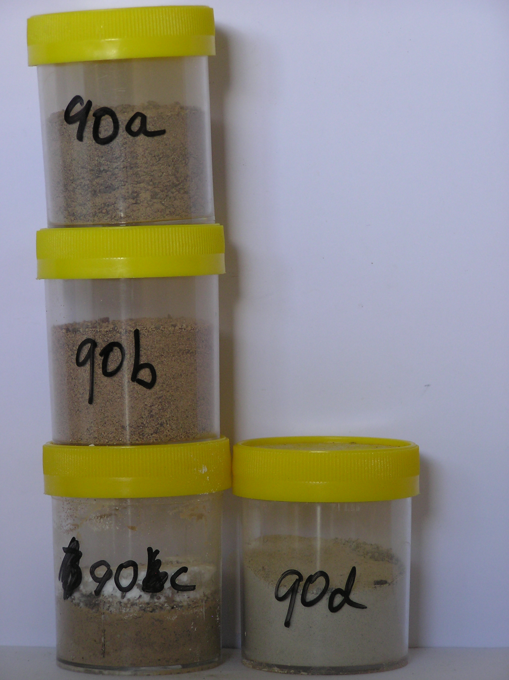
90 5-0cm
101
surface boulders, cobbles and pebbles
102
dolerite boulders subrounded to subangular and strongly to moderately stained
103
aphanitic dolerite pebbles and cobbles are moderately polished,
90a 0-6cm
201
light brown (7.5YR 6/4) sandy cobble gravel with boulders
202
loose
203
rock particles subrounded, moderately to strongly stained, and moderately altered
204
distinct boundary,
90b 6-8cm
301
very pale brown to pink (10YR 7/3-7.5YR 7/4) pebbly sand
302
cohesive with much salt through the horizon
303
rock particles subangular to subrounded, moderately to strongly stained and moderately altered
304
sharp boundary,
90c 8-13cm
401
light brown (7.5YR 6/3) pebbly sand salt horizon
402
firmly cohesive and bonded with crystallised salt
403
rock particles subangular, moderately to strongly stained
404
and moderately altered
405
distinct boundary,
90d 13-23cm
501
light grey (10YR 7/2) silty cobble gravel
502
loose
503
rock particles subangular and unstained
504
distinct boundary, on light grey till
Yes
a,b,c,d
Dry frozen
0
4
Geoland
| Lower altitude surfaces at Roberts Massif have deposits of old till of the Sirius Formation while Ferrar Dolerite forms low hills or roche moutonnees; overlying |
| these is an intermittent cover of young, mainly doleritic till; the till sheet shows the retreat of ice by distinct moraine ridges, a meter or so high with soil |
| differences on successive retreat surfaces |
| Soluble Salt |
| Concentration |
9000001
90a
0-6cm
0
6
none
9000002
90b
6-8cm
6
8
none
9000003
90c
8-13cm
8
13
none
9000004
90d
13-23cm
13
23
none
12-Dec-2005
Page 90 of 896
90