Ross Sea Region Soil Sites
93000
93
16-Dec-1964
IBC, GGC
Head of Shackleton Glacier at Roberts Massif, Queen Maud Mountains, on the edge of the Polar Plateau
Soil characterisation
USGS 1:250 000 1968; Liv Glacier SV 1-10/5
B&W & CS Prof
No
176.9330
-85.5500
85deg 33.0'S
-176deg -56.0'E
cf. Notes for DESCR below
4
NE
2,200
| Younger till overlies older till, and dolerite on the lower surfaces at Roberts Massif; north of the ice tongue at Grass Bluff, the till forms a series of retreat surfaces marked by |
| bouldery moraine loops, about 2m high |
(4o)
Ultraxerous; no snow
-45
Inland mountain
Dolerite till with some Beacon Group sedimentary material
Nil observed
Nil
| SURFACE WEATHERING or |
| SURFACE FEATURES |
| Dolerite boulders in moraine loop are mainly subangular and moderately stained; pebbles forming a surface pavement are moderately stained, subangular to |
| sub rounded with polish on some clasts; salts beneath some surface stones |
Nil
93 3-0cm
101
surface sandy pebble gravel
102
dolerite pebbles subrounded to subangular and moderately stained
103
aphanite pebbles moderately polished,
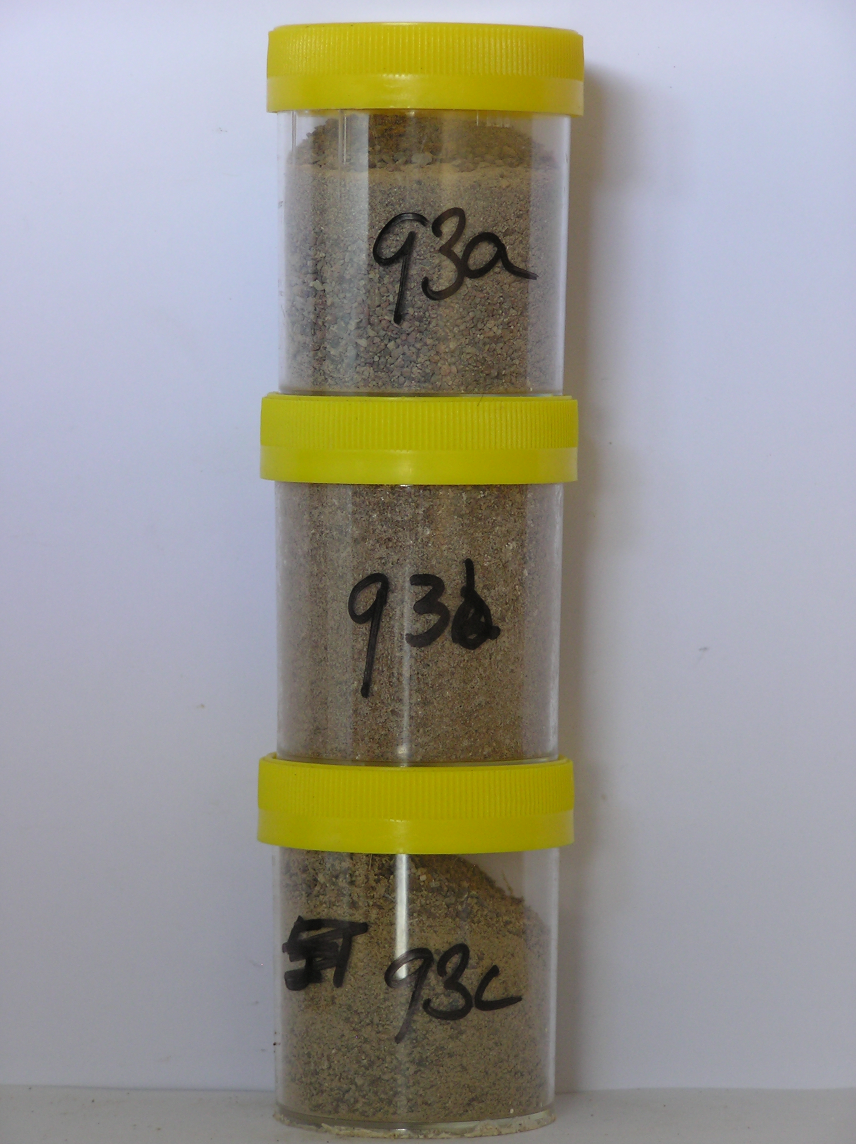
93a 0-7cm
201
light brown (7.5YR 6/4) pebbly sandy gravel
202
loose
203
rock particles predominantly subangular, moderately stained and partly altered
204
distinct boundary,
93b 7-15cm
301
light brown (7.5YR 6/4) pebbly sandy gravel
302
moderately to firmly cohesive
303
abundant salt accumulations forming a discontinuous horizon
304
rock particles subangular and moderately stained with surface alteration forming a distinct rind
305
indistinct boundary,
93c 15-23cm
401
pale brown (10YR 6/3) sandy pebble and cobble gravel
402
loose
403
few fine salt flecks
404
rock particles subangular and weakly stained
405
sharp boundary, on pale grey till
Yes
a,b,c
Dry frozen
0
3
Descr
| On the lower slopes near the south of the basin like surface at Roberts Massif; glacial surfaces formed following retreat of a tongue of polar ice; a strongly |
| rolling to hilly surface with moraine loops marking retreat stages; site is 4m N of a bouldery moraine loop on a smooth gentle slope |
| Soluble Salt |
| Concentration |
9300001
93a
0-7cm
0
7
none
9300002
93b
7-15cm
7
15
none
9300003
93c
15-23cm
15
23
none
12-Dec-2005
Page 93 of 896
93