Ross Sea Region Soil Sites
94000
94
16-Dec-1964
IBC, GGC
Head of Shackleton Glacier at Roberts Massif, Queen Maud Mountains, on the edge of the Polar Plateau
Soil characterisation
USGS 1:250 000 1968; Liv Glacier SV 1-10/5
B&W & CS Prof
No
177.0170
-85.5500
85deg 33.0'S
-177deg -1.0'E
cf. Notes for DESCR below
3
NE
2,150
cf. Notes for GEOLAND below
(3o)
Ultraxerous; no snow
-45
Inland mountain
Dolerite till with some Beacon Group sedimentary material and older till material
Nil observed
Nil
| SURFACE WEATHERING or |
| SURFACE FEATURES |
Surface boulders are predominantly subangular and there is little pavement development; surface staining weak to moderate
Nil
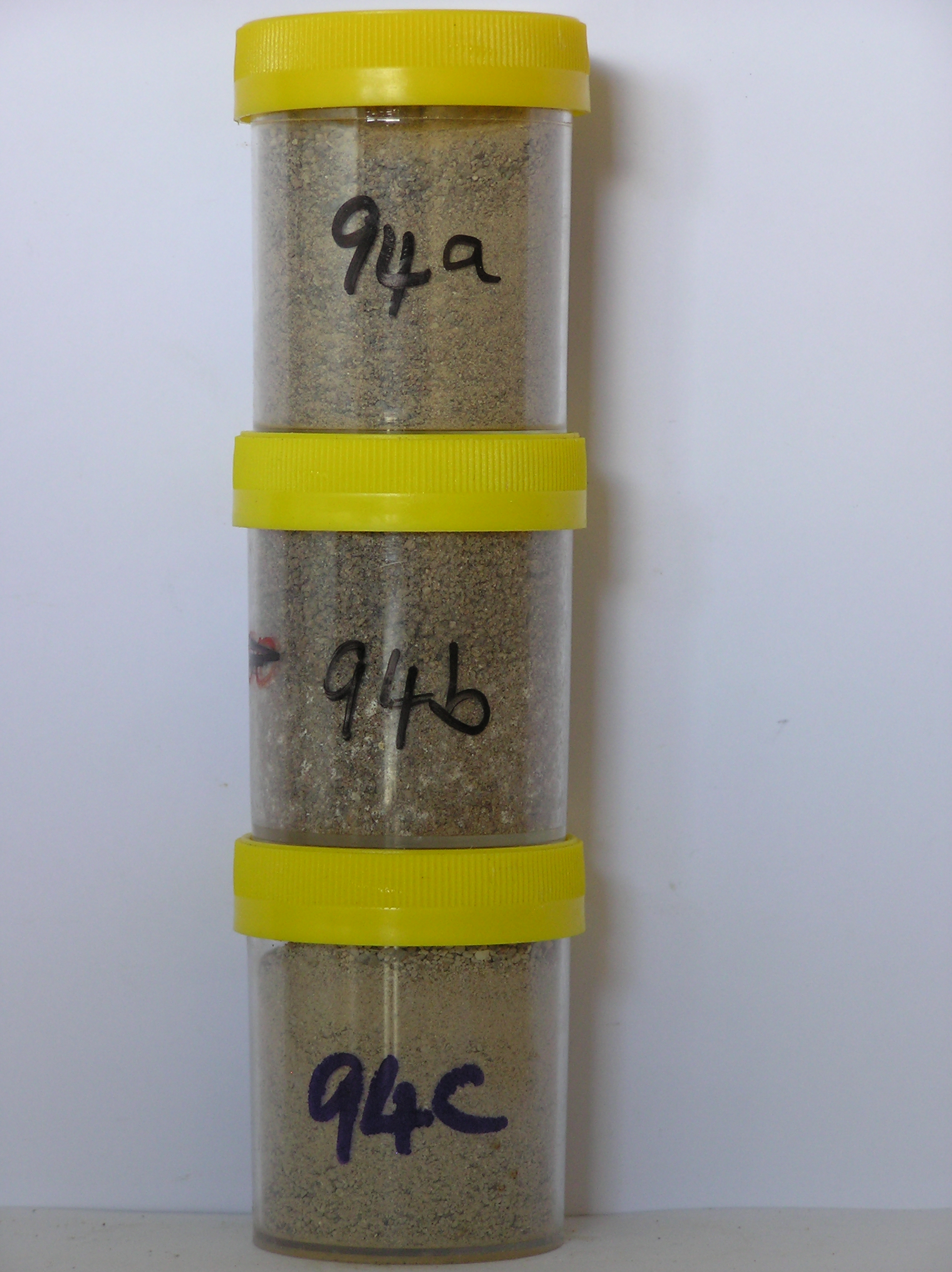
94 2-0cm
101
surface boulders, cobbles, pebbles and loose sand
102
boulders and cobbles mainly subangular, pebbles subangular to subrounded
103
weakly to moderately stained,
94a 0-6cm
201
light brown (7.5YR 6/4) sandy pebble gravel
202
loose
203
rock particles mainly subangular and unstained but many subrounded, strongly stained and strongly altered
204
distinct boundary,
94b 6-9cm
301
light brown to pink (7.5YR 6/4-7/4) sandy pebble gravel
302
moderately cohesive
303
discontinuous salt accumulations through the horizon
304
rock particles mainly subangular and weakly stained but many particles are strongly stained and altered
305
distinct boundary,
94c 9-15cm
401
light grey to very pale brown (10YR 7/2-7/3) sandy pebble gravel
402
loose
403
rock particles mainly subrounded and unstained but some are subrounded and moderately stained and altered
404
sharp boundary, on pale grey till
Yes
a,b,c
Dry frozen
0
2
Descr
| On the lower slopes near the south of the basin like surface at Roberts Massif; glacial surfaces formed following retreat of a tongue of polar ice; a strongly |
| rolling to hilly surface with moraine loops marking retreat stages; the site is on the crest of a broad moraine loop ridge |
Geoland
| Younger till overlies older till, and dolerite on the lower surfaces at Roberts Massif; north of the ice tongue at Grass Bluff, the till forms a series of retreat |
| surfaces marked by bouldery moraine loops, younger surfaces have a less weathered appearance |
| Soluble Salt |
| Concentration |
9400001
94a
0-6cm
0
6
none
9400002
94b
6-9cm
6
9
none
9400003
94c
9-15cm
9
15
none
12-Dec-2005
Page 94 of 896
94