Ross Sea Region Soil Sites
105000
105
27-Dec-1964
IBC, GGC
Victoria Land, Trans-antarctic Mountains; at the southern end of the Cook Mountains in the Brown Hills region of the Darwin Glacier
Soil characterisation
USGS 1:250,000 1963; Carlyon Glacier ST 57-60/13*
B&W & CS Pro
No
158.7500
-79.8167
79deg 49.0'S
-158deg -45.0'E
| Approx 4.5km SE of Mt Rich and 9km ENE of Bastion Hill on an extensive undulating very bouldery moraine landsurface formed by over- riding and retreat of ice from |
| Diamond Glacier; pockets of fine gravelly till occur amongst larger granitic boulders |
5
S
850
Bouldery till from Granite Harbour Intrusives is widespread on the surface
0
5.0
soil surface
0
-8.0
8
1.0
15
-1.0
23
-2.0
30
-2.0
| Xerous to subxerous; the surface is predominantly snow free; some patches of ice in patterned |
| ground cracks |
-24
Coastal mountain
Very bouldery till with a dominantly sandy granular pebble matrix, derived from mainly local granodiorite and granite rocks
Yellow and black lichens are common on rock surfaces and on the soil in places
Weakly developed large nets
| SURFACE WEATHERING or |
| SURFACE FEATURES |
| Boulders are mainly subangular to angular, up to 5m across and weakly stained with little exfoliation or cavernous weathering; small salt accumulations |
| occasionally found under some stones |
Nil
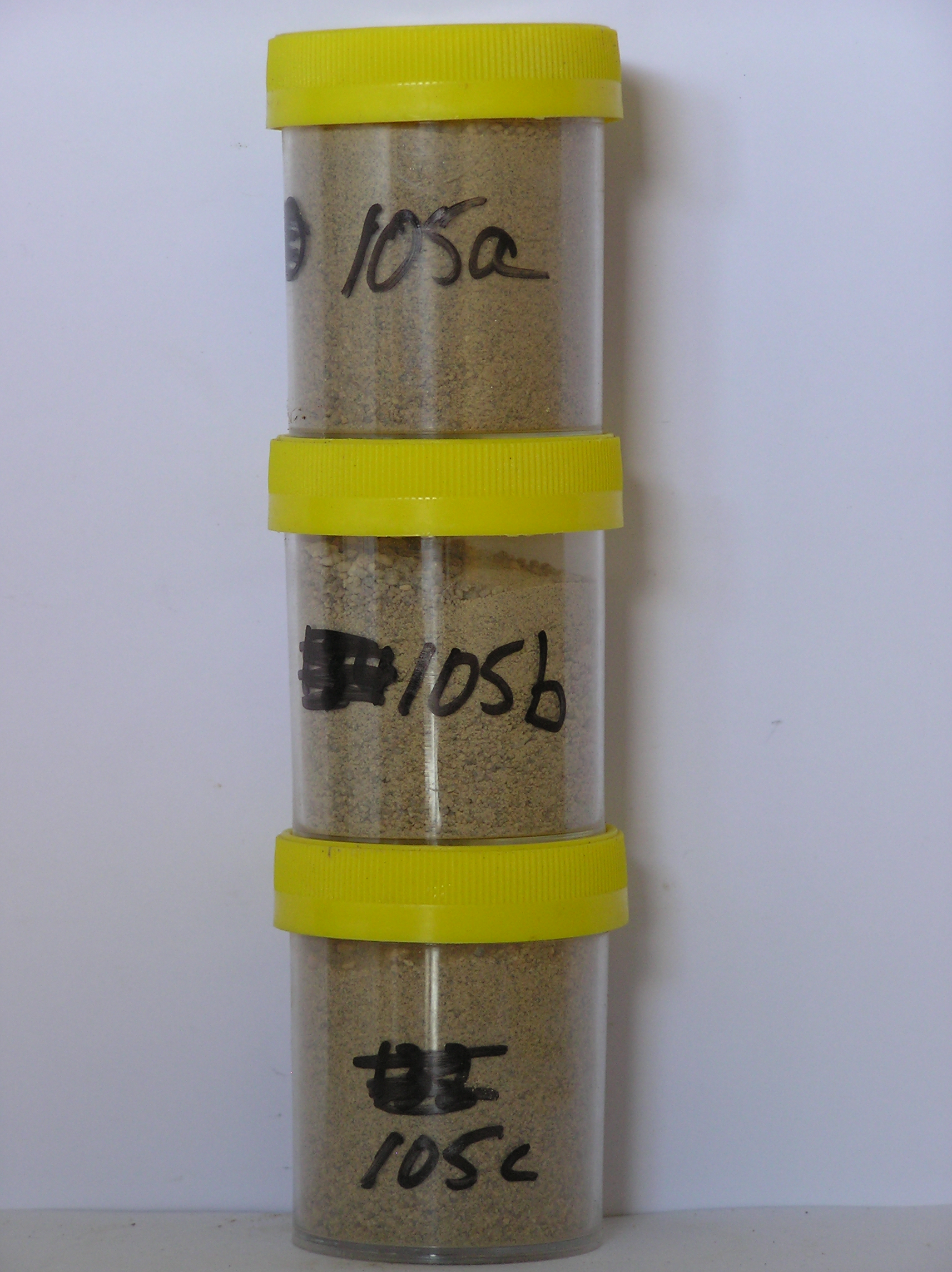
105a 0-8cm
201
light yellowish brown (10YR 6/4) pebbly granular sand
202
loose
203
very weakly developed vesicular structure
204
rock particles subangular to subrounded and weakly to moderately stained
205
distinct boundary,
105b 8-10m
301
light yellowish brown (10YR 6/4) pebbly granular sand
302
weakly cohesive with weakly developed vesicular structure
303
rock particles subangular to subrounded and weakly stained
304
distinct boundary,
105c 10-30cm
401
yellowish brown (moist 10YR 5/4, dry 10YR 6/4) granular sand
402
moderately cohesive because of moistness
403
rock particles subrounded to subangular and weakly stained
404
sharp boundary, on frozen ground
8-0cm
101
surface boulders, cobbles and pebbles with loose granular sand between larger particles
102
angular to subangular and weakly stained,
Yes
a,b,c
Hard ice-cemented
30
2
(30cm)
| Soluble Salt |
| Concentration |
10500001
105a
0-8cm
0
8
none
10500002
105b
8-10cm
8
10
none
10500003
105c
10-30cm
10
30
none
12-Dec-2005
Page 105 of 896
105