Ross Sea Region Soil Sites
107000
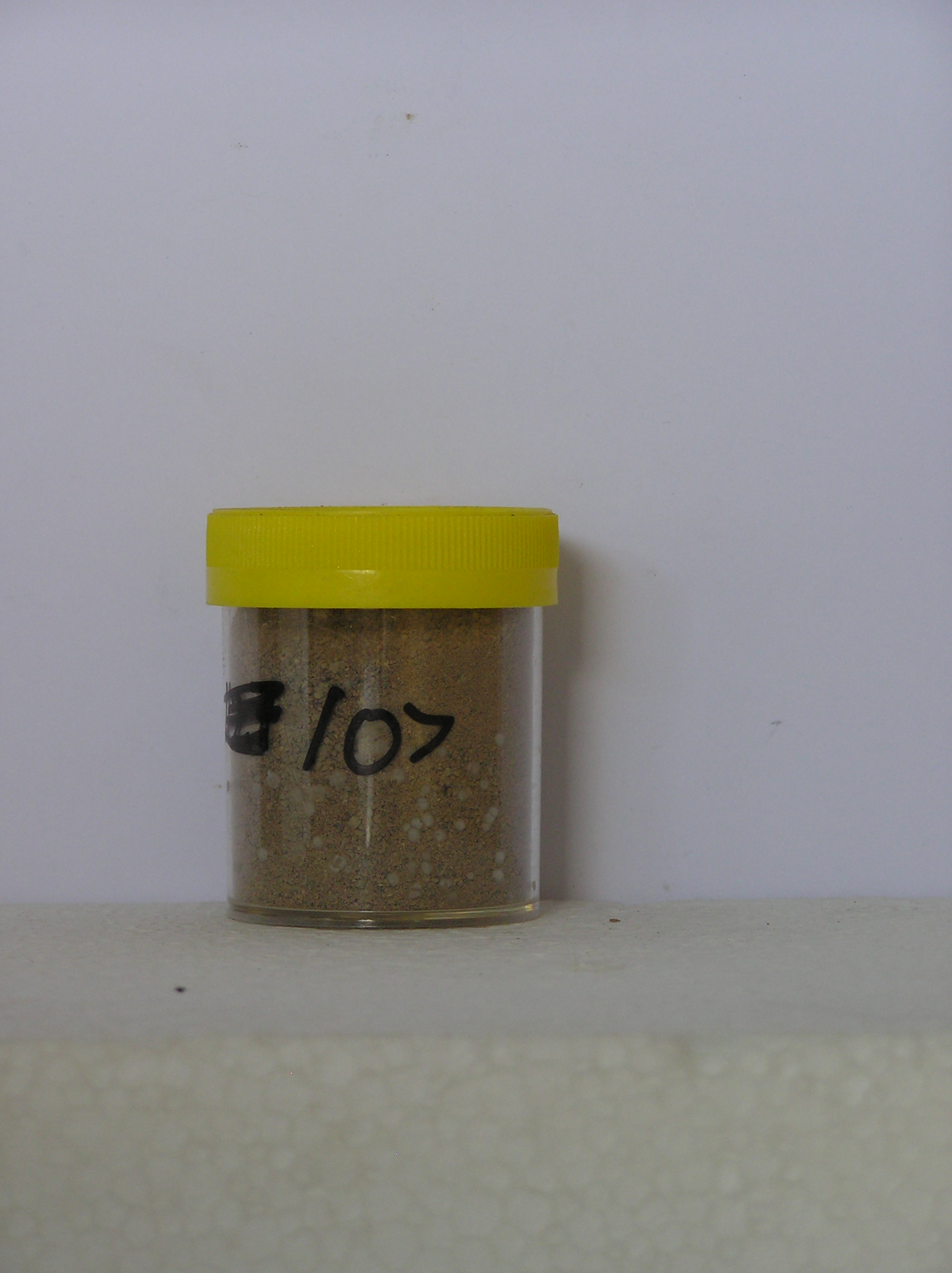
107
27-Dec-1964
IBC, GGC
Victoria Land, Trans-antarctic Mountains; at the southern end of the Cook Mountains in the Brown Hills region of the Darwin Glacier
Weathering examination
USGS 1:250,000 1963; Carlyon Glacier ST 57-60/13*
No
158.9000
-79.8167
79deg 49.0'S
-158deg -54.0'E
cf. Notes for DESCR below
5
SE
800
Bouldery till from Granite Harbour Intrusives is widespread on a surface that is partly modified by patterned ground movement
| Xerous to subxerous; the surface is predominantly snow free; some patches of ice in patterned |
| ground cracks; there are moist patches in the soils in some hollows |
-24
Coastal mountain
Bouldery till with a sandy gravel matrix from granodiorite and granite
Yellow and black lichens occur commonly
Extensive moderately developed patterned ground with active troughs containing sand accumulations
| SURFACE WEATHERING or |
| SURFACE FEATURES |
Surface boulders are subangular and weakly stained without cavernous weathering; some scattered salts especially in polygon edges
Nil
107a 0-10cm
101
brown (10YR 5/3) sandy pebble gravel
102
cohesive
103
moderately developed vesicular structure
104
rock particles subangular to subrounded, weakly to moderately stained and partly coated with fines
Yes
a
0
2
Descr
| Approx 4km S of Mt Rich on an extensive undulating landsurface formed by over-riding and retreat of ice from Diamond Glacier; the surface has extensive |
| patterned ground developed on rolling slopes with best development on lower gully slopes; on sloping ground, the polygon troughs have a high scarp face on the |
| down-slope side and a short scarp face on the up- slope side; in many of the polygons, the surface of the soil has a distinct crust; in the patterned ground cracks, |
| there is a greater amount of sandy material; the sample was collected from a crusty patch near the centre of a polygon |
| Soluble Salt |
| Concentration |
10700001
107a
0-10cm
0
10
none
12-Dec-2005
Page 107 of 896
107