Ross Sea Region Soil Sites
117000
117
3-Jan-1965
IBC, GGC
Victoria Land, Trans-antarctic Mountains; at the southern end of the Cook Mountains in the Brown Hills region of the Darwin Glacier
Soil characterisation
USGS 1:250,000 1963; Carlyon Glacier ST 57-60/13*
B&W & CS Pro & Lscp
No
159.4000
-79.8333
79deg 50.0'S
-159deg -24.0'E
cf. Notes for DESCR below
5
NW
200
| Granodiorite of the Granite Harbour Intrusives outcrops on low hills mainly on ridges in the glacially scoured landscape; lower slopes are largely veneered with till which has |
| well developed patterned ground |
| Oceanic subxerous; the site is dry; light snow was falling at the time of description but was |
| evaporating quickly |
-22
Coastal mountain
Granodioritic till
Some black and yellowish lichen on rocks
Well developed rectangular nets up to 20m across and with 50cm troughs and raised borders in places
| SURFACE WEATHERING or |
| SURFACE FEATURES |
| Surface boulders 30-90cm across and subangular to subrounded with weak staining on upper surfaces but unstained on undersides; few white salt |
| encrustations on undersides of some surface stones; some calcium carbonate coatings on stone undersides |
Nil
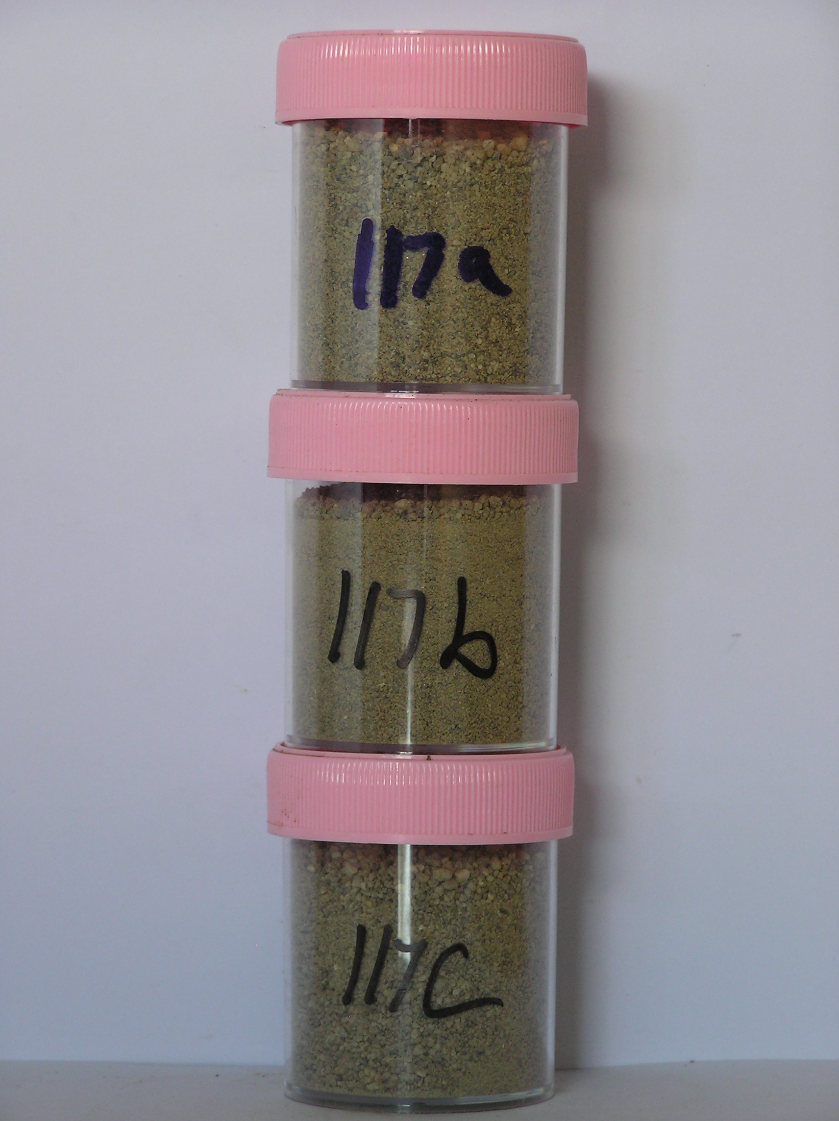
117- 0-1cm
201
pale yellow (5Y 7/3) gravelly sand
202
loose
203
sharp boundary,
117a 1-5cm
301
very pale brown (10YR 7/4) pebbly gravelly sand
302
weakly cohesive
303
weakly developed fine vesicular structure
304
some particles coated with calcium carbonate
305
rock particles mainly subrounded and weakly stained
306
distinct boundary,
117b 5-10cm
401
pale brown (10YR 6/3) pebbly gravelly sand
402
lose to weakly cohesive
403
very weakly developed vesicular structure with particle adhesion by silt coatings
404
rock particles subrounded to subangular and weakly stained
405
distinct boundary,
117c 10-30cm
501
pale yellow (2.5Y 7/4) pebbly sandy gravel
502
loose
503
weakly developed vesicular structure
504
some ice crystals in patches
505
rock particles mainly subrounded and weakly stained
506
sharp boundary, on frozen ground.
5-0cm
101
surface pebbles and boulders
102
subangular to subrounded and weakly stained,
Yes
a,b,c
Hard ice-cemented
30
2
(30cm)
Descr
| Eastern end of the Brown Hills, near Diamond Hill and approximately 6km E of Diamond Glacier terminus; a small enclosed basin in an undulating glacially |
| scoured landscape; the profile site is on the NW slope of the basin on well developed patterned ground surface |
| Soluble Salt |
| Concentration |
11700001
117a
0-5cm
0
5
none
11700002
117b
5-8cm
5
8
none
11700003
117c
15-27cm
15
27
none
12-Dec-2005
Page 117 of 896
117