Ross Sea Region Soil Sites
125000
125
14-Jan-1965
IBC, GGC
Victoria Land, Trans-antarctic Mountains; in Barwick Valley, part of the McMurdo Sound Dry Valley system
Soil characterisation
USGS 1:250 000 1986; Ross Island and Vicinity, Antarctica
No
160.9250
-77.3467
77deg 20.8'S
-160deg -55.5'E
| Approximately .4km SE of Webb Lake; on the valley floor on a young moraine surface; the topography is hummocky with a distinct knob and kettle topography; the site is just |
| below the crest of a small knoll |
3
NE
675
cf. Notes for GEOLAND below
(3o)
| Xerous to subxerous; the site is dry and not subject to seepage; soil moisture only from |
| periodic snowfall |
-23
Central mountains
Young till (Packard Drift) from dolerite, sandstone and granitic rocks;
Nil observed
Hummocky terrain is probably related to ablation and patterned ground formation
| SURFACE WEATHERING or |
| SURFACE FEATURES |
Surface boulders up to 1m but mostly much smaller; mainly subangular; no cavernous weathering or exfoliation; some salts beneath surface stones
Nil
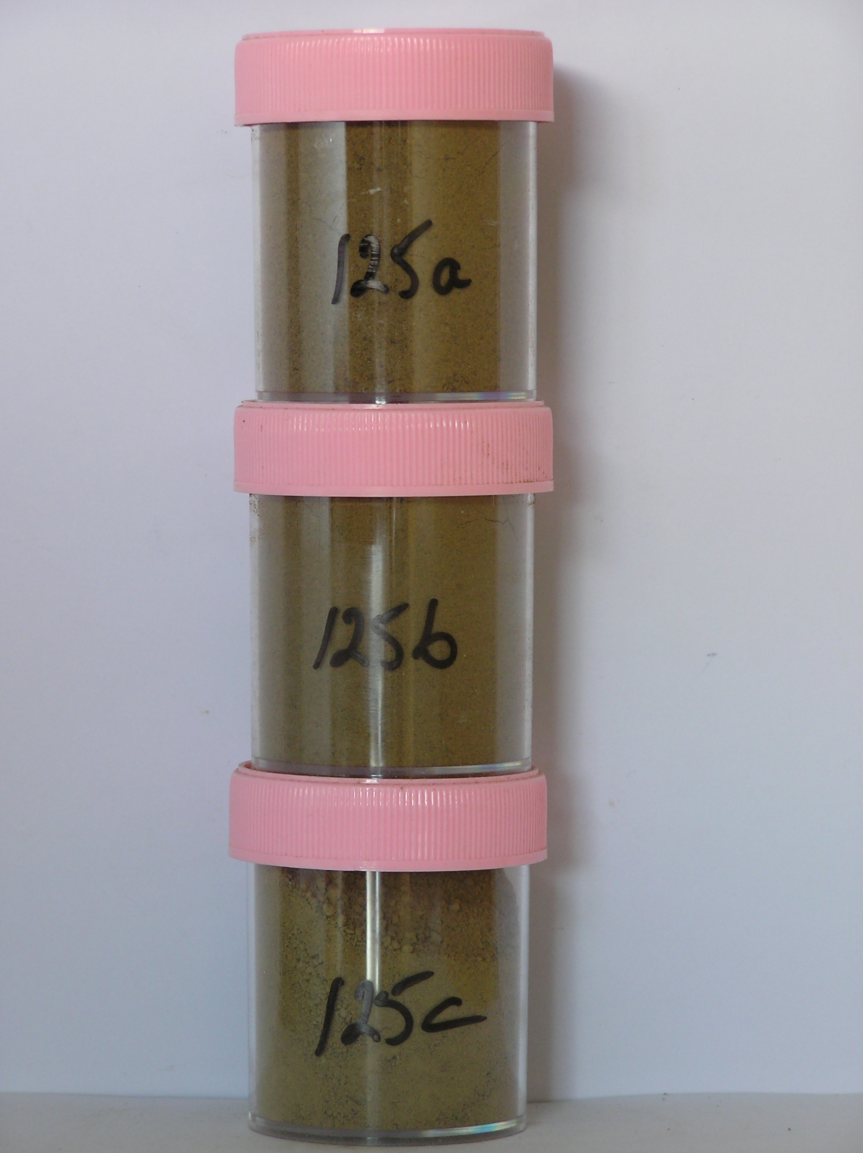
125a 0-5cm
201
yellowish brown (10YR 5/4) sandy granular and pebble gravel forming a well developed surface crust
202
moderately cohesive with moderately to strongly developed vesicular structure
203
rock particles subangular and unstained but quartz particles mainly subrounded and moderately stained
204
distinct boundary,
125b 5-25cm
301
light olive brown (2.5Y 5/4) silty to sandy pebble gravel
302
loose
303
some salt flecks around stones
304
rock particles mainly subangular to subrounded and unstained but some moderately altered
305
indistinct boundary,
125c 25-43cm
401
olive brown (2.5Y 6/4) pebble and cobble gravel
402
loose to weakly cohesive
403
weakly developed vesicular structure
404
some salt flecks distributed through the horizon
405
rock particles mainly subangular and unstained but partly coated with fines
406
sharp boundary, on frozen ground
3-0cm
101
surface small boulders, cobbles and loose sandy gravel
102
mainly subangular and weakly stained,
Yes
a,b,c
Hard ice-cemented
43
2
(43cm)
Geoland
| Webb Glacier in the upper Barwick Valley has retreated and left a series of till deposits and moraine surfaces of differing ages; the site is on moraines mapped |
| by Calkin as Packard Drift (youngest); the main rock types in the area are dolerite, granite, granodiorite and Beacon Group sediments and the tills have these |
| rocks in them; the dry valleys have a complex glacial history with interacting Alpine, Ross Ice Shelf and Polar Ice Sheet glaciers |
| Soluble Salt |
| Concentration |
12500001
125a
0-5cm
0
5
none
12500002
125b
5-25cm
5
25
none
12500003
125c
25-38cm
25
38
none
12-Dec-2005
Page 125 of 896
125