Ross Sea Region Soil Sites
127000
127
14-Jan-1965
IBC, GGC
Victoria Land, Trans-antarctic Mountains; in Barwick Valley, part of the McMurdo Sound Dry Valley system
Soil characterisation
USGS 1:250 000 1986; Ross Island and Vicinity, Antarctica
No
160.9500
-77.3400
77deg 20.4'S
-160deg -57.0'E
Approximately 1km SE of Webb Lake; on the valley floor on a young ice-cored moraine surface; the site is near the centre of a frost polygon
0
Nil
725
cf. Notes for GEOLAND below
(0o)
| Xerous to subxerous; the soils are moistened in the surface horizon by occasional brief snow |
| falls |
-23
Central mountains
Ice-cored lateral moraine till
Nil observed
Hummocky ground with a relief of 1-2m is related to subsurface ice ablation processes
| SURFACE WEATHERING or |
| SURFACE FEATURES |
Surface boulders are up to 2m and are unweathered and subangular
Nil
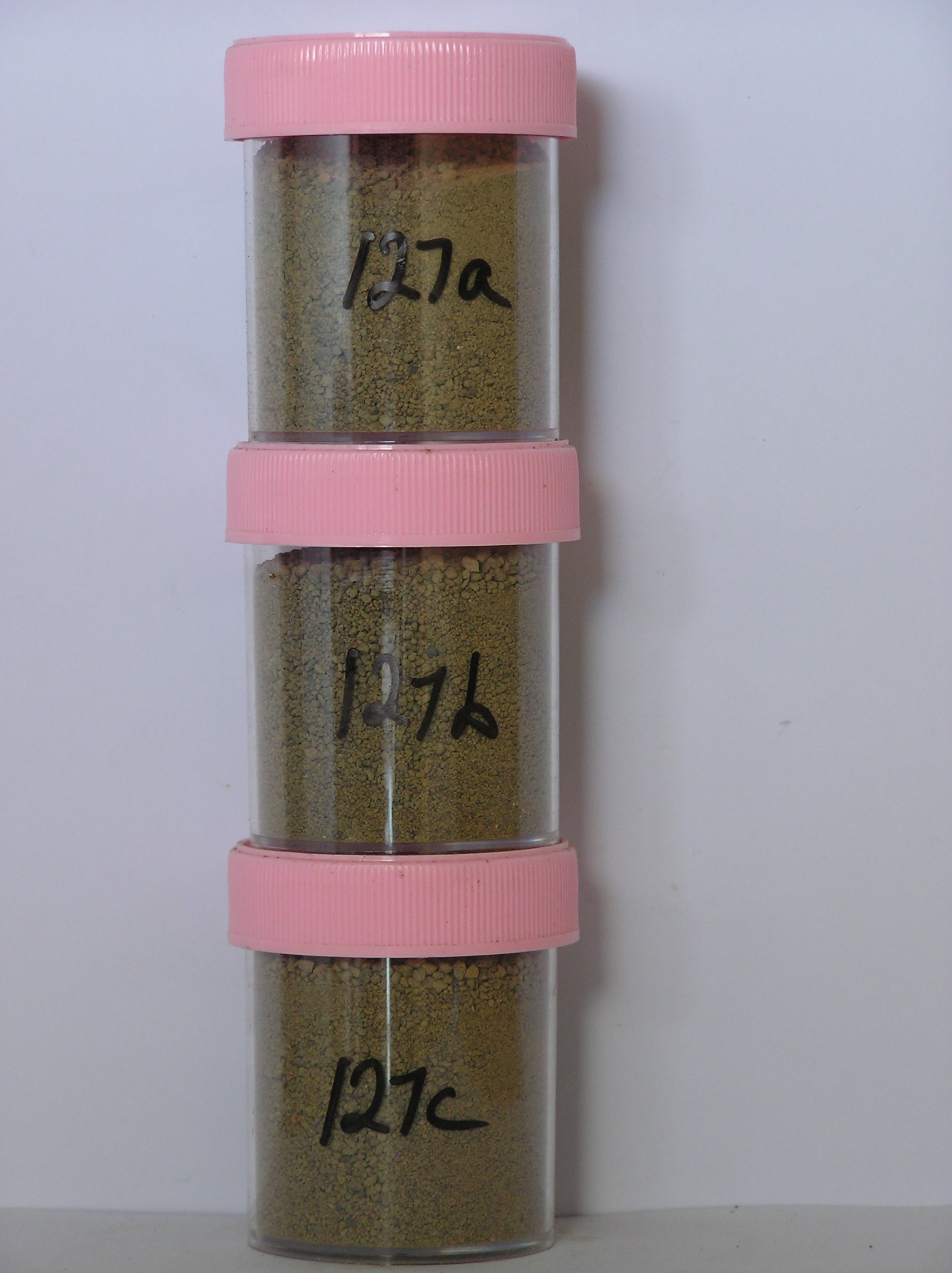
127a 0-5cm
201
light yellowish brown to light olive brown (10YR 6/4-2.5Y 5/4) sandy pebble and granule gravel
202
loose to weakly cohesive
203
weakly developed surface crust with vesicular structure
204
larger rock particles subangular and unstained but many sand grains subrounded to rounded and unstained
205
distance boundary,
127b 5-25cm
301
light yellowish brown (10YR 5/4) granular pebble gravel
302
loose to weakly cohesive with some weakly developed vesicular structure
303
rock particles subangular to subrounded and unstained
304
indistinct boundary,
127c 25-48cm
401
pale brown (10YR 6/3) granular pebble gravel
402
loose
403
larger rock particles subangular and unstained but smaller particles mainly subrounded
404
sharp boundary, on ice .
5-0cm
101
surface cobbles and pebbles
102
subangular and unstained,
Yes
a,b,c
Stagnant ice core
48
1
Geoland
| Webb Glacier in the upper Barwick Valley has retreated and left a series of till deposits and moraine surfaces of differing ages; the site is on ice-cored moraines |
| mapped by Calkin as Packard Drift (youngest) and may be lateral moraine; the main rock types in the area are dolerite, granite, granodiorite and Beacon Group |
| sediments and the tills have these rocks in them |
| Soluble Salt |
| Concentration |
12700001
127a
0-5cm
0
5
none
12700002
127b
10-20cm
10
20
none
12700003
127c
25-35cm
25
35
none
12-Dec-2005
Page 127 of 896
127