Ross Sea Region Soil Sites
140000
140
21-Jan-1965
IBC, GGC
Victoria Land, Trans-antarctic Mountains; Balham Valley, part of the McMurdo Sound Dry Valley system
Soil characterisation
USGS 1:250 000 1986; Ross Island and Vicinity, Antarctica
B&WPro &Lscp &CS Pro
No
161.0630
-77.4317
77deg 25.9'S
-161deg -3.8'E
| About 9.5km SSW of Lake Vashka on the western end of the top of the Insel Range; a broad undulating basin like surface with patches of till; the site is a gently sloping |
| surface at the foot of a low bouldery ridge |
4
W
1,150
cf. Notes for GEOLAND below
(4o)
| Xerous to subxerous; the surface is almost totally covered with 2.5cm of snow from a recent |
| fall; there is no thawing and the soil is dry |
-26
Central mountain
Sandy silty till from dolerite, sandstone and granitic rocks
Some lichens on surface boulders
No patterned ground
| SURFACE WEATHERING or |
| SURFACE FEATURES |
| Surface boulders are up to 1.5m; dolerite boulders are moderately stained and subrounded; moderate to strong surface exfoliation; well developed pavement |
| with ventifacts; salts occur beneath surface stones |
Nil
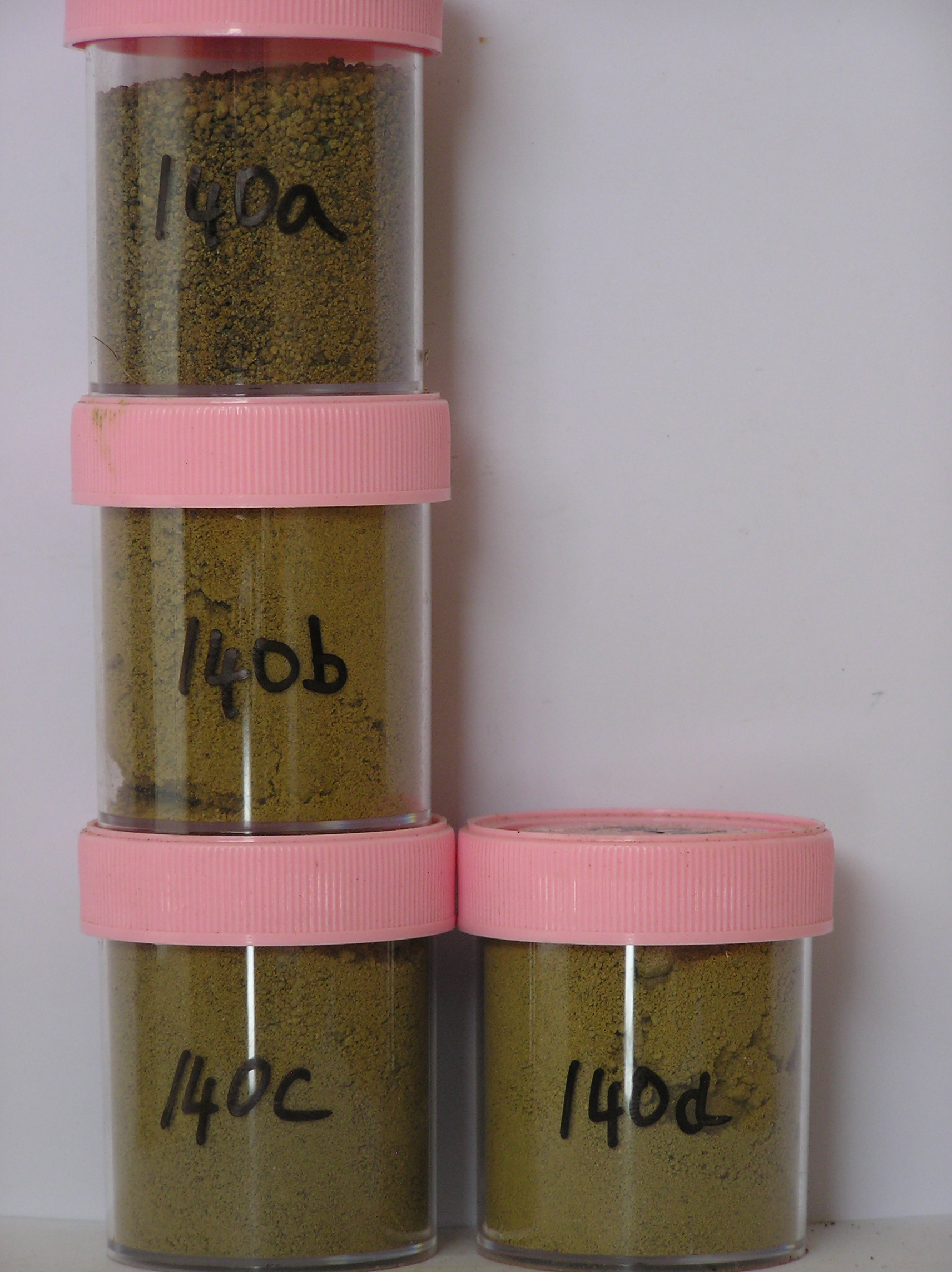
140a 0-1cm
201
yellowish brown (10YR 5/4) pebbly granular sand
202
cohesive with a moderately developed crust
203
moderately developed vesicular structure
204
reddish brown colour where patches of coarser sands occur
205
rock particles subangular and moderately stained with many particles strongly altered
206
sharp boundary,
140b 1-10cm
301
brownish yellow (10YR 6/6) sandy to silty cobble gravel
302
loose to weakly cohesive
303
many small salt flecks scattered throughout
304
| quartz particles mainly subrounded and weakly stained with other rock particles subangular and moderately to |
| strongly altered |
305
some cobbles and boulders disaggregated
306
indistinct boundary,
140c 10-28cm
401
pale yellow (2.5Y 7/4) sandy to silty cobble gravel
402
loose to weakly cohesive
403
weakly developed vesicular structure
404
scattered salt flecks
405
rock particles mainly subangular and unstained
406
indistinct boundary,
140d 28-75cm+
501
light yellowish brown (2.5Y 6/4) sandy to silty cobble and boulder gravel
502
moderately cohesive
503
rock particles mainly subangular and unstained
3-0cm
101
surface pebbles, granules and loose sand
102
subrounded and moderately to strongly stained,
Yes
a,b,c,d
Dry frozen
0
4
Geoland
| Insel Drift is considered to represent the deposits of a former eastward flowing ice stream from an early glaciation; the till at this site occurs at a higher altitude |
| than some other deposits mapped as Insel Drift and forms small loops around the basin; some basement rocks may be present in the till, granitic rocks may |
| indicate existence of older up-valley till as in Asgard Range |
| Soluble Salt |
| Concentration |
14000001
140a
0-1cm
0
1
none
14000002
140b
1-10cm
1
10
none
14000003
140c
18-25cm
18
25
none
14000004
140d
60-58cm
-60
58
none
12-Dec-2005
Page 140 of 896
140