Ross Sea Region Soil Sites
199000
199
1-Jan-1971
REC/FAM
Scott Glacier region, southern Trans-antarctic Mountains
Soil biological/soil weathering
US Geological Survey 1:250 000, 1968, D'angelo Bluff
No
-149.6830
-87.3000
87deg 18.0'S
149deg 41.0'E
| Mt Howe; head of Robert Scott Glacier; southern most outcrop in the world; a bouldery moraine surface tailing to the north of the exposed area, approximately 50m from the |
| edge of the ice |
15
NE
2,500
Local rocks are granitic; the till sheet appears relatively recent
0
-18.0
0
-9.0
2
-15.0
Ultraxerous
-40
Inland Mountain
Mixed granitic glacial debris; loose gravel over ice
| SURFACE WEATHERING or |
| SURFACE FEATURES |
A rough bouldery surface
Nil
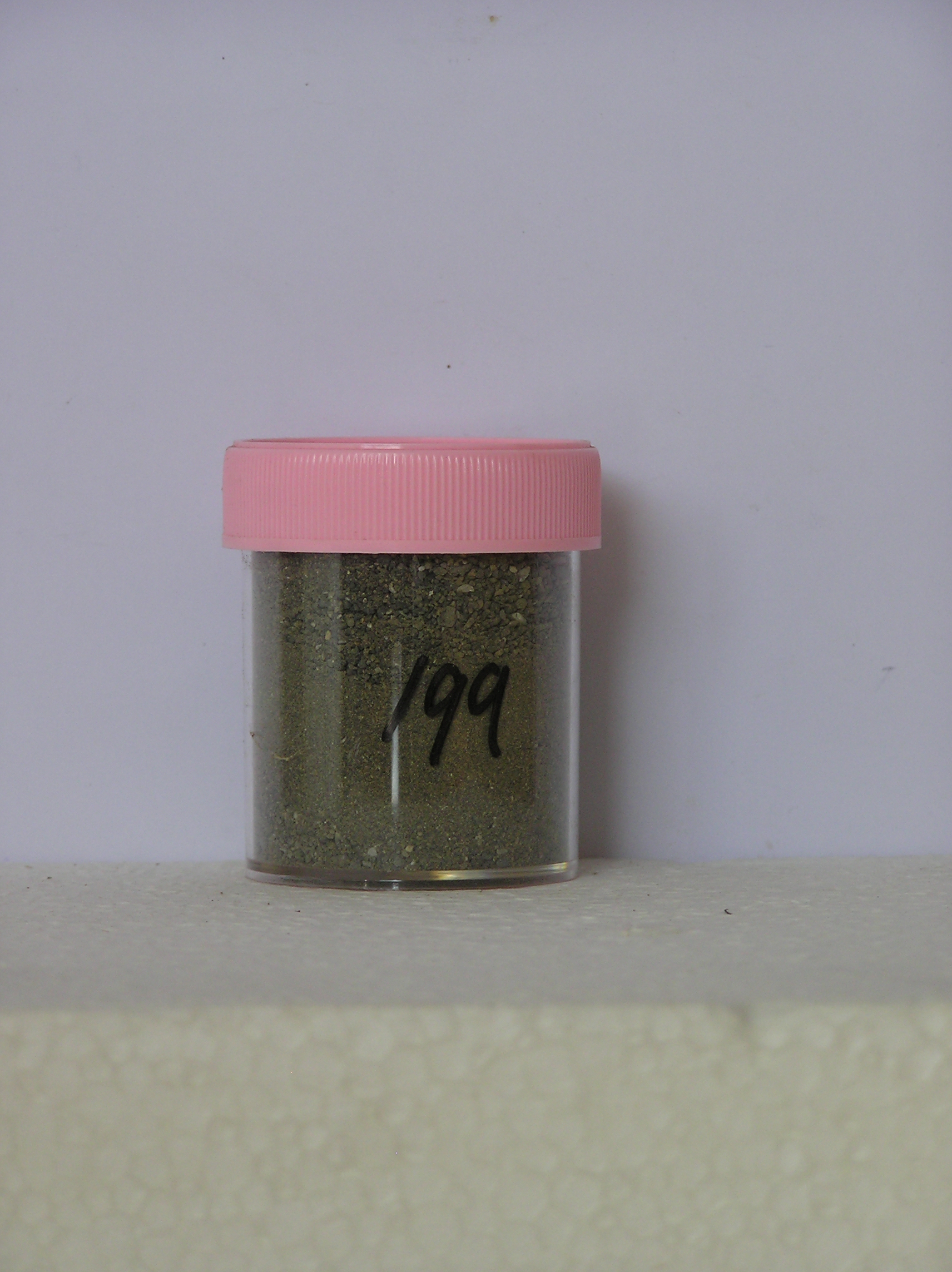
199a 0-2cm
101
olive (5Y 5/3) sandy gravel
102
soil moist below the surface, on glacial ice
Yes
a
Stagnant ice
2
1
(2cm)
| Soluble Salt |
| Concentration |
19900001
66.00
19900001
19900001
12-Dec-2005
Page 156 of 896
199