Ross Sea Region Soil Sites
200000
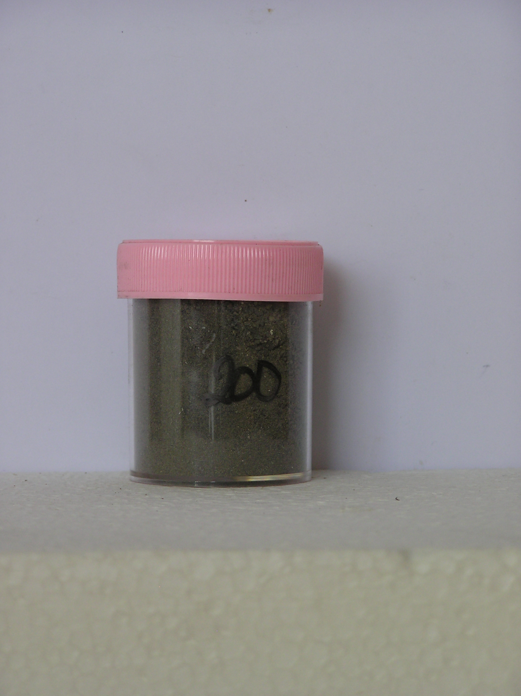
200
5-Jan-1971
REC/FAM
Scott Glacier region, southern Trans-antarctic Mountains
Soil biological/soil weathering
US Geological Survey 1:250 000, 1968, D'angelo Bluff
No
-149.2170
-87.3333
87deg 20.0'S
149deg 13.0'E
Mt Howe; head of Robert Scott Glacier; southern most outcrop in the world; a slope on bluffs overlooking the moraine till plain
10
SW
2,725
Local rocks are granitic; talus and scree occurs on slopes
0
-10.0
2
-8.0
15
-10.5
Ultraxerous; dry
-40
Inland Mountain
Mixed slope detritus; some basalt shale and coal present
| SURFACE WEATHERING or |
| SURFACE FEATURES |
Rough cobbly surface forming a desert pavement
Nil
200a 0-2cm
101
olive sandy gravel
102
loose,
200b 2-15cm
201
olive sandy gravel
202
loose
Yes
a
15
1
(15cm)
| Soluble Salt |
| Concentration |
20000001
67.00
20000051
20000001
20000051
20000001
20000051
12-Dec-2005
Page 157 of 896
200