Ross Sea Region Soil Sites
204000
204
19-Nov-1969
IBC, GGC
Scott Glacier region, southern Trans-antarctic Mountains
Soil weathering examination
US Geological Survey 1:250 000, 1968, Mount Blackburn
No
-145.9500
-86.5567
86deg 33.4'S
145deg 57.0'E
cf. Notes for DESCR below
0
Nil
1,800
cf. Notes for GEOLAND below
Ultraxerous
-40
Inland Mountain
Older sandy gravel till from granitic and meta-volcanic rocks
Nil Observed
| SURFACE WEATHERING or |
| SURFACE FEATURES |
Many clasts rounded to subrounded and some subangular; a distinct pebble pavement; some salts beneath surface stones
Nil
204 5-0cm
101
surface pebbles and cobbles
102
mainly rounded to ssubrounded and some distinct surface staining
103
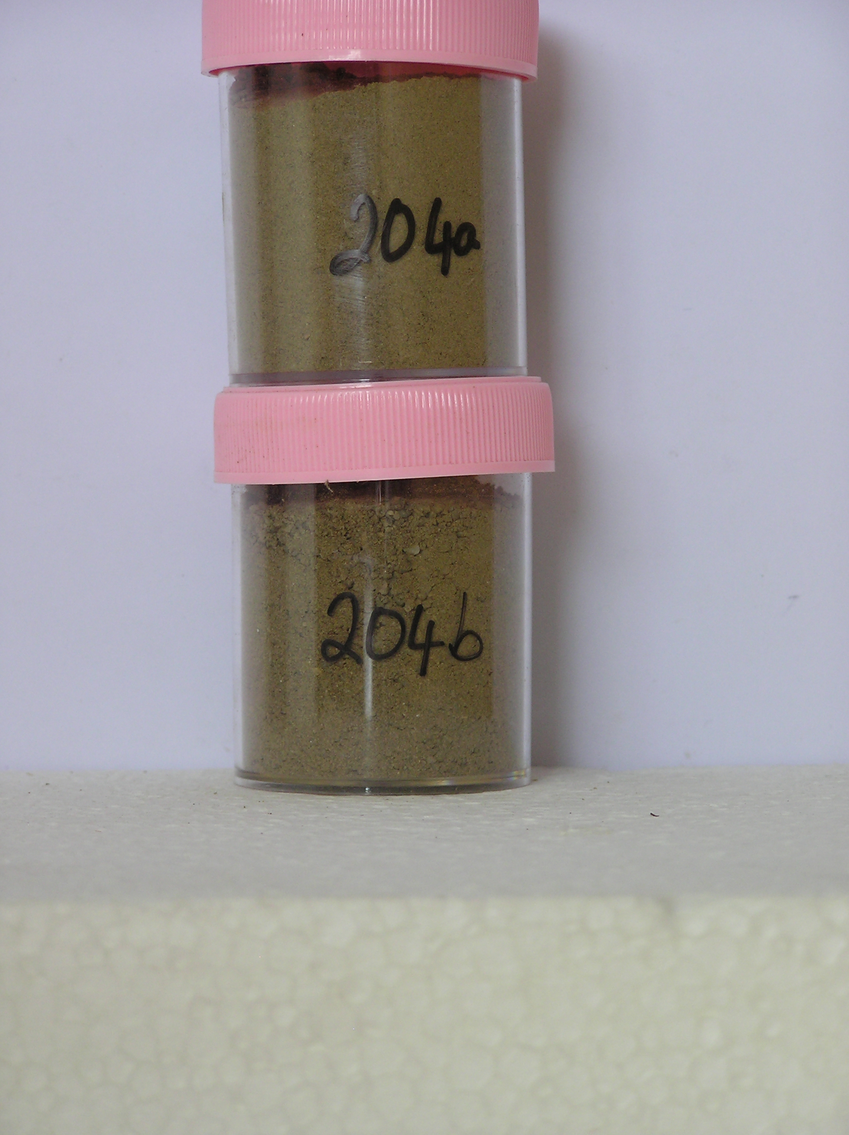
204a 0-12cm
201
light yellowish brown (2.5Y 6/4) pebbly sandy silty gravel
202
loose
203
a few small salt flecks
204
some clasts with distinct surface staining
205
rock particles sub rounded to sub angular with some distinct surface staining
206
indistinct boundary,
204b 12-40cm
301
light yellowish brown (2.5Y 6/4) pebbly sandy gravel
302
loose
303
some fine distinct salt flecks and a few coating on some stones
304
rock particles subrounded to subangular and some surface staining
305
some particles altered with red (10R) hues
Yes
a,b
Dry frozen
40
3
(>40cm)
Descr
| On the north side of Mt Mooney which forms a large nunatack near the head of the Robison Glacier; the site is on a low surface which forms a small embayment |
| alongside a steepened ice face of the Robison Glacier on the lower north side of Mt Mooney; the surface is gently slopng with some weakly formed moraine |
| retreat loops |
Geoland
| The deposit probably represents an older and distinctly weathered till, from locally derived materials, which is being exhumed by the retreat of the Robison |
| Glacier; this provides clear evidence of the ability for ice in this environment to advance and retreat without adding to or destroying previously existing land |
| surface features |
| Soluble Salt |
| Concentration |
20400001
56.00
20400002
55.00
20400001
20400002
20400001
20400002
12-Dec-2005
Page 161 of 896
204