Ross Sea Region Soil Sites
205000
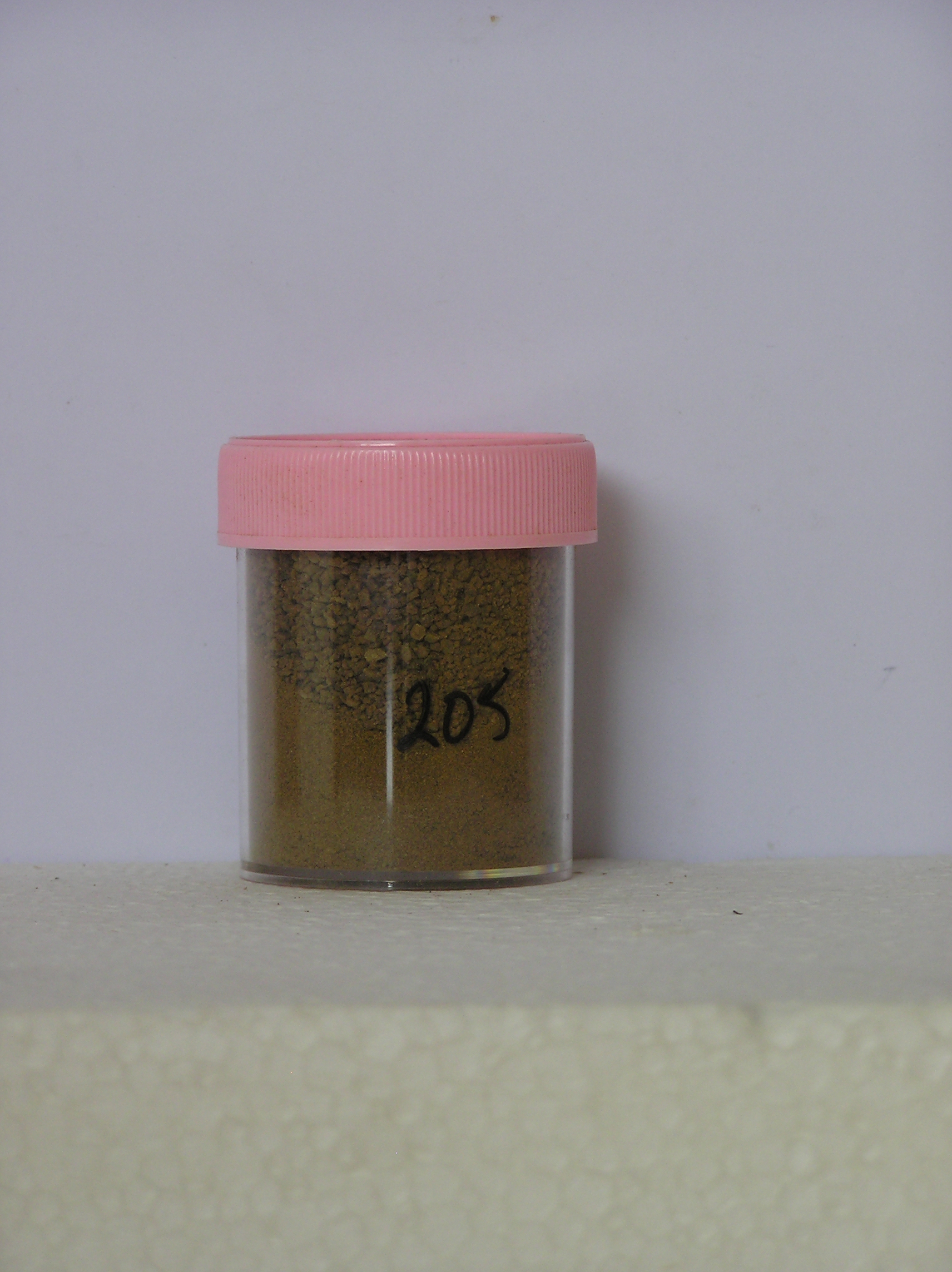
205
19-Nov-1969
IBC, GGC
Scott Glacier region, southern Trans-antarctic Mountains
Soil weathering examination
US Geological Survey 1:250 000, 1968, Mount Blackburn
No
-145.9500
-86.5567
86deg 33.4'S
145deg 57.0'E
cf. Notes for DESCR below
0
Nil
1,800
cf. Notes for GEOLAND below
Ultraxerous
-40
Inland Mountain
Old sandy gravel till from granitic and meta-volcanic rocks
Nil Observed
Nil
| SURFACE WEATHERING or |
| SURFACE FEATURES |
Many clasts rounded to subrounded and some subangular; a distinct pebble pavement; some salts beneath surface stones
Nil
205a 0-10cm
101
yellowish brown (10YR 5/6) sandy pebble and cobble gravel
102
loose to moderately cohesive
103
some material firmly cohesive possible salt cemented
104
rock particles subangular to sub rounded and partly stained with some small particles altered
105
a few salt flecks and some salt precipitations on rock clasts
Yes
a
10
4
(>10cm)
Descr
| On the north side of Mt Mooney which forms a large nunatack near the head of the Robison Glacier; the site is on a low surface which forms a small embayment |
| alongside a steepened ice face of the Robison Glacier on the lower north side of Mt Mooney; the surface is gently slopng with some weakly formed moraine |
| retreat loops; this site is adjacent to the ice front |
Geoland
| The deposit probably represents an older and distinctly weathered till, from locally derived materials, which is being exhumed by the retreat of the Robison |
| Glacier; this provides clear evidence of the ability for ice in this environment to advance and retreat without adding to or destroying previously existing land |
| surface features; the oldest till appears to be closest to the ice edge |
| Soluble Salt |
| Concentration |
20500001
60.00
20500001
20500001
12-Dec-2005
Page 162 of 896
205