Ross Sea Region Soil Sites
210000
210
22-Nov-1969
IBC, GGC
Scott Glacier region, southern Trans-antarctic Mountains on Ackerman Ridge
Soil weathering examination
US Geological Survey 1:250 000, 1968, Mount Blackburn
B&W Lscp
No
-148.1500
-86.5600
86deg 33.6'S
148deg 9.0'E
On a broad ridge crest on Ackerman Ridge, between the Robison and Scott Glaciers; the surface is flat topped
0
Flat
1,800
cf. Notes for GEOLAND below
Ultraxerous; scattered snow remnants
-38
Inland Mountain
Residual till and possibly some wind-blown fines in fractured granitic regolith
Nil Observed
Nil observed
| SURFACE WEATHERING or |
| SURFACE FEATURES |
Surface rock fragments mostly angular but some surface staining; subsurface clasts interlocked with brownish fines in the cracks
Nil
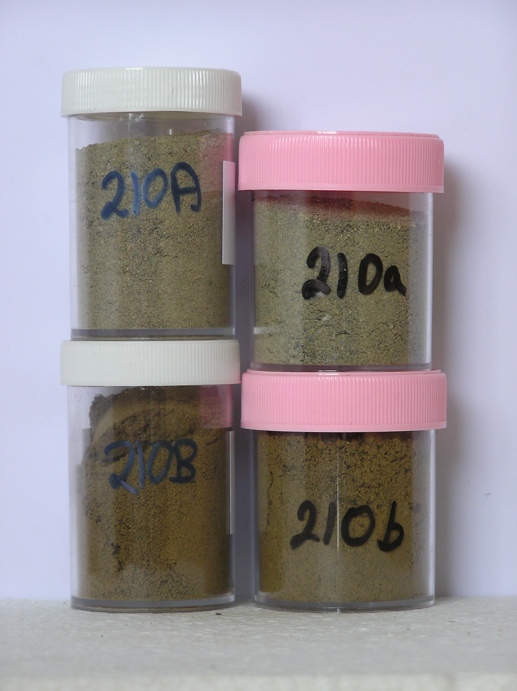
210a 0-5cm
101
pale olive (5Y 6/3) bouldery sandy to silty gravel
102
loose
103
| larger rock particles angular and distinctly stained with smaller rock particles subangular to subrounded and |
| unstained |
104
distinct boundary,
210b 5-15cm
201
light yellowish brown (2.5Y 6/4) sandy to silty fines filling cracks between fragmented granitic bedrock
202
loose
203
some fine distinct salt flecks,
Yes
a,b (x2)
Dry frozen
15
2
(>15cm)
Geoland
| The rock outcrop on the ridge is granitic and is fractured and jonted to 25cm; fine material fills cracks between the rocks and may be wind blown; the surface has |
| probably been overtopped by late glacial ice and there is some argillite incorporated in the regolith indicating addition of till |
| Soluble Salt |
| Concentration |
21000001
44.00
21000002
69.00
21000001
21000002
21000001
21000002
12-Dec-2005
Page 167 of 896
210