Ross Sea Region Soil Sites
216000
216
25-Nov-1969
IBC, GGC
Scott Glacier region, southern Trans-antarctic Mountains on Ackerman Ridge
Soil weathering examination
US Geological Survey 1:250 000, 1968, Mount Blackburn
No
-147.9170
-86.5667
86deg 34.0'S
147deg 55.0'E
High outcrop on Ackerman Ridge towards the NE end on the NE/SW sloping spur on a ridge surface with rock outcrops; a weathered soil in a cleft between rock outcrops
0
Nil
2,200
Till occurs to high altitudes on Ackerman Ridge with weathering increasing with increasing altitude; lithologies are mixed but schist or metasediments occur at higher altitudes
Small scattered snow patches but no indication of liquid moisture
-40
Inland Mountain
Disaggregated schistose material with some argillitic component; fine fraction may not be rock flour
Nil Observed
Nil
| SURFACE WEATHERING or |
| SURFACE FEATURES |
Surface rocks are strongly stained and exfoliated
Nil
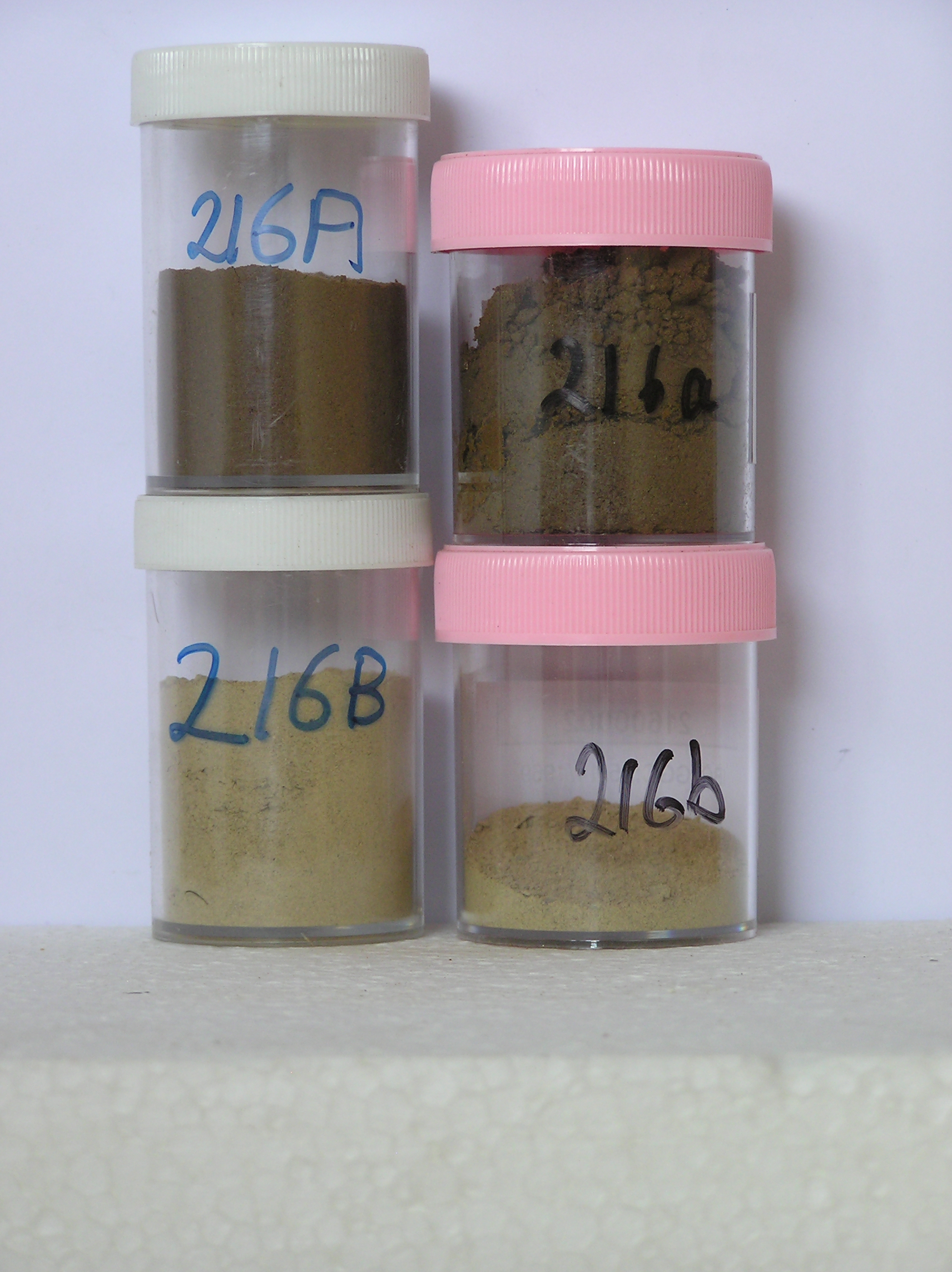
216 0-5cm
201
yellowish brown fine gritty gravel
202
loose
203
distinct boundary,
216 5-0cm
101
surface rock fragments comprising mainly angular flaky well stained particles,
216a 5-30cm
301
yellowish brown (10YR 5/3) pebbly to boulder silty gravel
302
loose
303
rock fragments mainly angular and unstained
304
abundant diffuse salts in places banded
305
distinct boundary,
216b 30-38cm
401
light yellowish brown to pale yellow (10YR 6/4 - 2.5Y 7/4) silty gravel between fractured bedrocks
402
loose
403
rock particles mainly angular but well oxidised and crumbly
404
sharp boundary, on fractured bedrock
Yes
a,b(x2)
Dry frozen
38
4
(>38cm)
| Soluble Salt |
| Concentration |
21600001
34.00
14.30
10.50
23.20
19.30
16.80
12.80
2.20
0.57
21600002
30.00
42.10
13.90
15.00
8.80
9.90
7.80
1.90
0.44
21600001
8.00
21.00
86.00
8.20
1.90
0.50
1.10
6.80
21.40
21600002
8.50
1.77
1.30
4.50
2.10
0.38
1.10
3.10
4.60
21600001
70
2
20
8
21600002
75
15
10
12-Dec-2005
Page 173 of 896
216