Ross Sea Region Soil Sites
218000
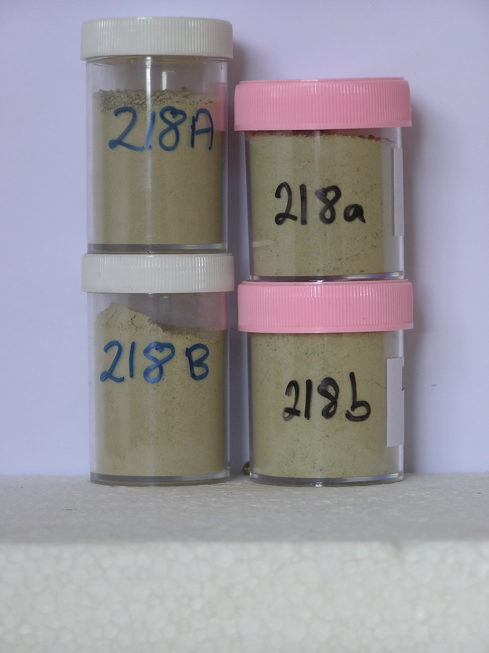
218
25-Nov-1969
IBC, GGC
Scott Glacier region, southern Trans-antarctic Mountains on Ackerman Ridge
Soil weathering examination
US Geological Survey 1:250 000, 1968, Mount Blackburn
No
-147.9670
-86.5667
86deg 34.0'S
147deg 58.0'E
A small dry valley area at the head of a lobe of ice extending into an embayment on the west side of Ackerman Ridge; a bouldery moraine surface on the floor of the valley
0
Nil
1,700
| Valley head tills mark successive retreat stages of the Scott Glacier; being furthermost from the ice edge, this till is probably the oldest of the youngest set of moraines in this |
| area |
| Patchcy snow cover but no liquid water observed; a weakly developed soil crust suggests |
| there may be occasional soil moistening |
-38
Inland Mountain
Recent bouldery ablation till over stagnant ice
Nil Observed
Weakly developed
| SURFACE WEATHERING or |
| SURFACE FEATURES |
Fresh angular to subrounded surface clasts with some slight surface staining in places
Nil
218 5-20cm
301
light grey (2.5Y 7/2) stony sandy to silty gravel
302
weakly cohesive
303
few fine salts beneath some stones
304
rock particles subangular and unstained
305
indistinct boundary,
218 6-0cm
101
surface boulders, cobbles and pebbles
102
a few with weak surface staining
103
subangular to subrounded,
218a 0-5cm
201
light brownish grey (2.5Y 6/2) sandy to silty pebble gravel
202
weakly cohesive
203
weakly developed vesicular structure
204
rock particles subangular to subrounded and unstained
205
distinct boundary
206
218b 20-90cm
401
light grey (2.5Y 7/2) bouldery sandy to silty gravel
402
loose
403
rock particles subrounded and unstained
404
sharp boundary, on stagnant ice
Yes
a,b(x2)
Dry frozen over stagnant ice
90
1
(90cm)
| Soluble Salt |
| Concentration |
21800001
46.00
38.90
13.70
12.70
6.30
7.80
12.90
7.00
0.36
21800002
46.00
40.90
14.70
10.90
6.00
7.40
13.60
6.00
0.34
21800001
8.30
1.19
1.80
3.10
0.80
0.07
0.40
3.90
4.60
21800002
8.40
1.30
1.90
3.00
0.90
0.09
0.60
3.10
19.30
21800001
45
10
45
21800002
60
15
25
12-Dec-2005
Page 175 of 896
218