Ross Sea Region Soil Sites
235000
235
5-Dec-1969
IBC, GGC
Scott Glacier region, southern Trans-antarctic Mountains at the southern end of the Watson Escarpment
Soil weathering examination
US Geological Survey 1:250 000 1968, Mount Blackburn
B&W Lscp
No
-148.4670
-86.3333
86deg 20.0'S
148deg 28.0'E
| Approximately 3km NNE of Mt Czegka on a valley mouth ridge of moraine; the innermost, up-valley moraine loop on the ridge crest approximately 150m above the low |
| valley bottom moraine surface |
0
Nil
1,750
cf. Notes for GEOLAND below
Scattered snow patches but no liquid moisture
-35
Inland Mountain
Partly weathered mixed lithology till but dominantly granitic with some dolerite
Nil observed
Nil
| SURFACE WEATHERING or |
| SURFACE FEATURES |
Some large surface boulders 1.5 to 2.5m; some rounding and surface exfoliation and distinct staining; a few salts beneath some surface clasts
Nil
235 5-0cm
101
angular to subangular boulder to granular sandy gravel
102
some surface staining,
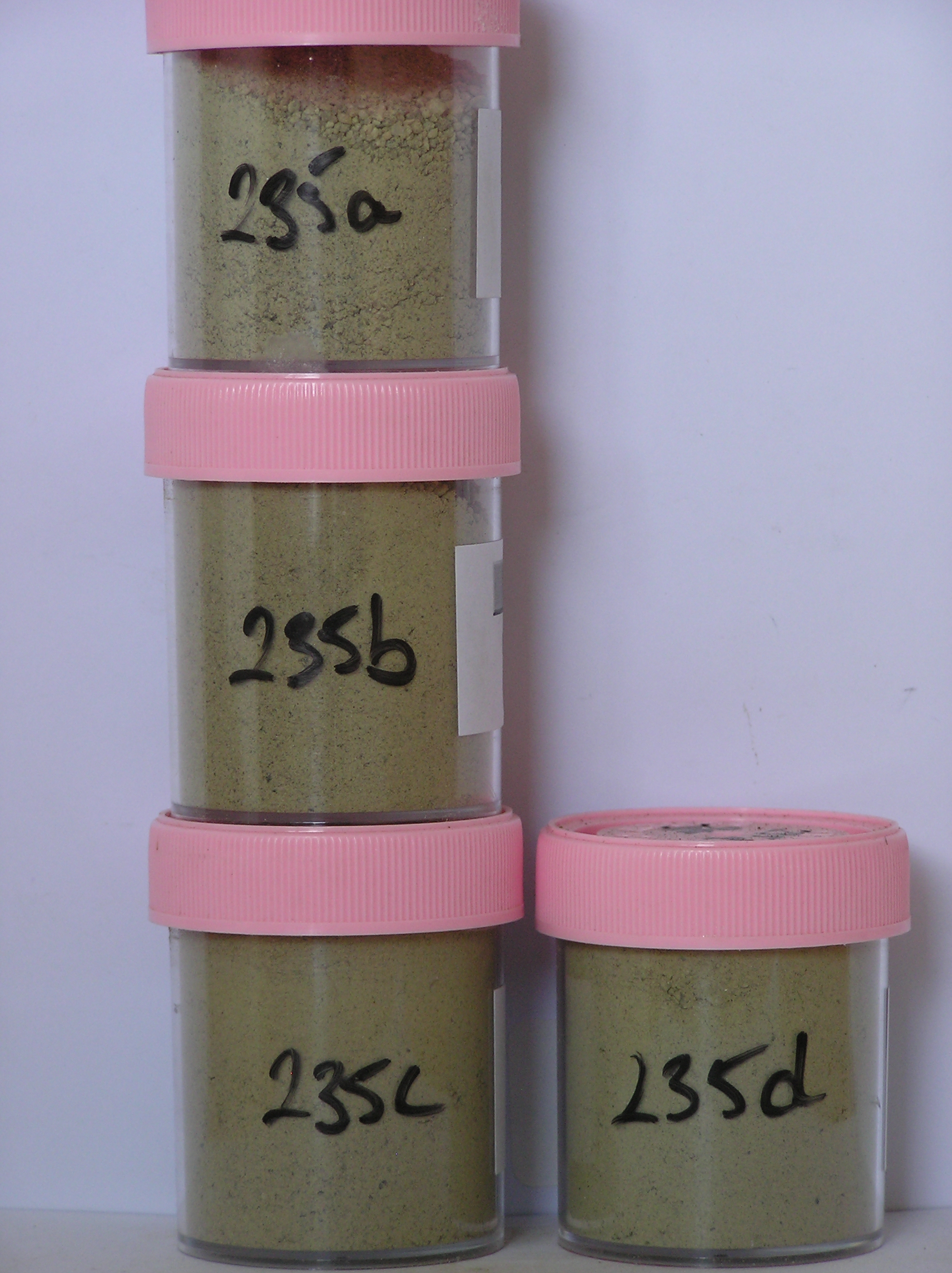
235a 0-3cm
201
pale yellow to light grey (2.5Y 7/4 - 2.5Y 7/2) cobbly to granular silty sand
202
loose
203
rock particles subangular to subrounded and unstained
204
distinct boundary,
235b 3-18cm
301
pale yellow (2.5Y 7/4) cobbly to granular silty sand
302
loose
303
few scattered salt flecks
304
rock particles subangular to subrounded and unstained
305
indistinct boundary,
235c 18-45cm
401
pale yellow to pale olive (5Y 7/3 - 6/3) silty bouldery gravel
402
weakly cohesive
403
rock particles dominantly angular and unstained
404
indistinct boundary, on compact silty bouldery to pebbly gravel
Yes
a,b,c,d
Dry frozen
45
2
(>45cm)
Geoland
| Young moraine in the basin floor shows clear evidence of advance and recession; surfaces at higher elevation also show evidence of earlier glacial advance and |
| retreat stages with an expanded ice sheet advancing into an empty side valley leaving two valley mouth moraine ridges; the innermost loop shows more |
| weathering than the outer loop |
| Soluble Salt |
| Concentration |
23500001
36.00
23500002
64.00
23500003
55.00
23500004
38.00
23500001
23500002
23500003
23500004
23500001
23500002
23500003
23500004
12-Dec-2005
Page 192 of 896
235