Ross Sea Region Soil Sites
241000
241
9-Dec-1969
IBC, GGC
Scott Glacier region, southern Trans-antarctic Mountains on the Watson Escarpment
Soil weathering examination
US Geological Survey 1:250 000 1968, Mount Blackburn
B&W Lscp
No
-146.7000
-86.2300
86deg 13.8'S
146deg 42.0'E
Approximately 6.5 km NE of Mount Blackburn at the head of Long Valley, on a high altitude, westward trending, Beacon Sandstone broad ridge, on a step on the ridge
3
W
2,550
| The sedimentary sequence is about 550m of Beacon Group rocks overlying the Kukri Peneplane cut in granite basement; The sediments are generally quartzitic sandstones and |
| silty shale with occasional conglomerate; dolerite intrusive rocks cap the ridge top |
Patchy snow cover but no signs of thawing
-40
Inland Mountain
Weathered disaggregated sandstone with minor dolerite and other crystalline rock fragments
Nil observed
Nil
| SURFACE WEATHERING or |
| SURFACE FEATURES |
cf. Notes for SURFWEA below
Nil
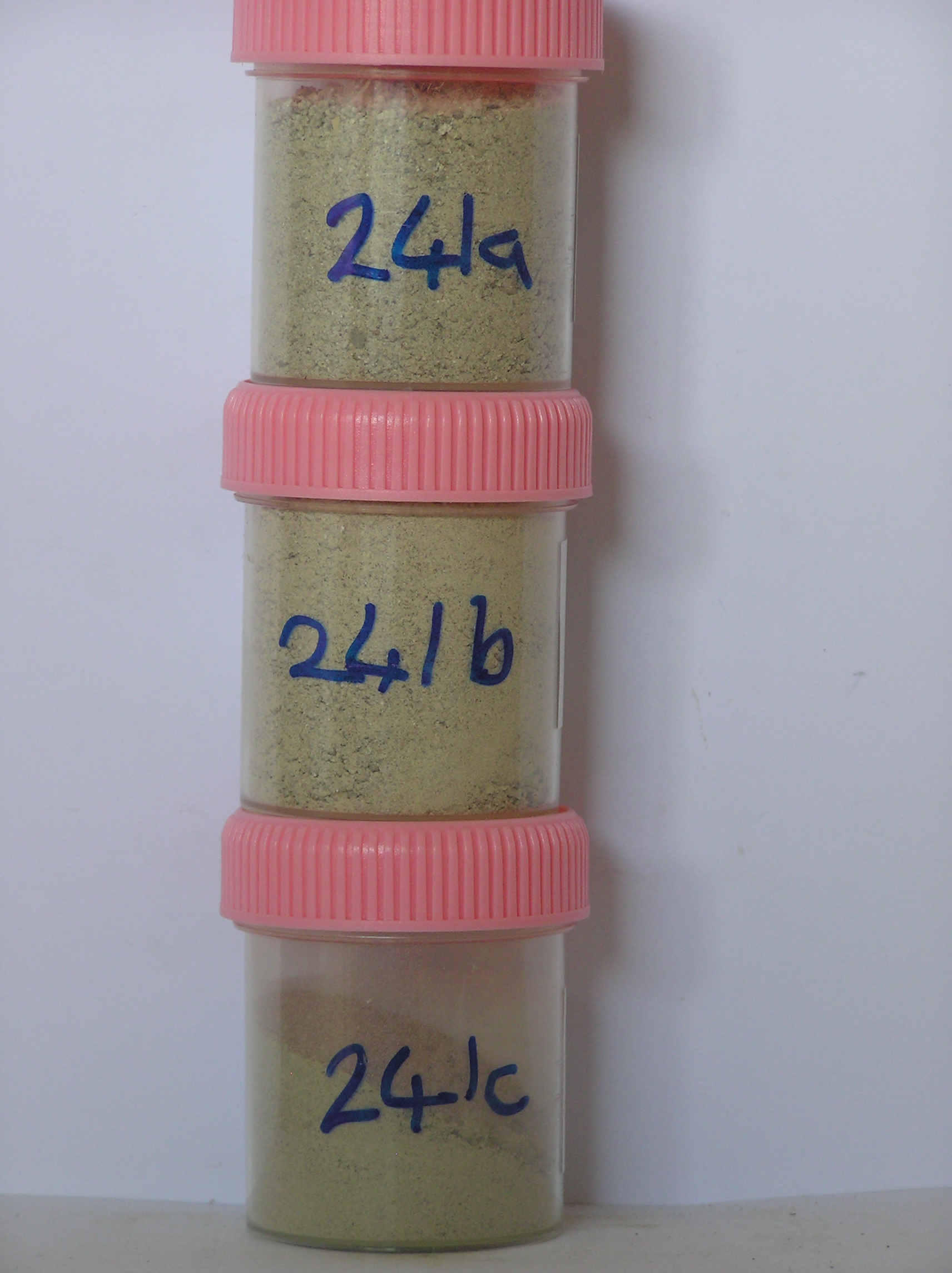
241a 0-5cm
101
light grey to very pale brown (2.5Y 7/2 - 10YR 7/3) sandy granule and pebble gravel
102
loose
103
| quartzose rock particles dominantly angular to subrounded and unstained but some dolerite fragments strongly |
| stained and altered |
104
a few scattered salts
105
distinct boundary,
241b 5-15cm
201
light grey to very pale brown (2.5Y 7/2 - 10YR 7/3) sandy granule and pebble gravel
202
loose
203
salt accumulations round some clasts
204
rock particles angular to subrounded
205
many altered and readily disaggregated with salt in interstices
206
a few strongly altered dolerite fragments
207
sharp boundary, on sandstone,
241c 5-15cm
301
salt sample from around and beneath larger clasts
Yes
a,b,c
Dry frozen
0
4
Surfwea
| Between bedrock exposures are thin patchy accumulations of disaggregated sandstone; the Beacon rocks show typical horizontal sandstone fragmentation |
| patterns; there is little oxidation of the sandstone or little cavernous weathering; occasional dolerite clasts, probably from upslope, are strongly stained with deep |
| 5-7cm deep pits on upper surfaces and have salt accumulations beneath |
| Soluble Salt |
| Concentration |
24100001
73.00
24100002
70.00
24100003
78.00
24100001
24100002
24100003
24100001
24100002
24100003
12-Dec-2005
Page 198 of 896
241