Ross Sea Region Soil Sites
242000
242
9-Dec-1969
IBC, GGC
Scott Glacier region, southern Trans-antarctic Mountains on the Watson Escarpment
Soil weathering examination
US Geological Survey 1:250 000 1968, Mount Blackburn
B&W Lscp
No
-146.6670
-86.2000
86deg 12.0'S
146deg 40.0'E
| Approximately 6.7 km NNE of Mount Blackburn at the head of Long Valley, on a high altitude, westward trending, Beacon Sandstone broad ridge; the site is a broad bench on |
| a surface forming a platform, just above granitic rocks and the Kukri Peneplane |
0
Nil
2,250
cf. Notes for GEOLAND below
Patchy snow cover but no signs of thawing
-40
Inland Mountain
Weathered disaggregated sandstone with minor dolerite and other crystalline rock fragments
Nil observed
Nil
| SURFACE WEATHERING or |
| SURFACE FEATURES |
cf. Notes for SURFWEA below
Nil
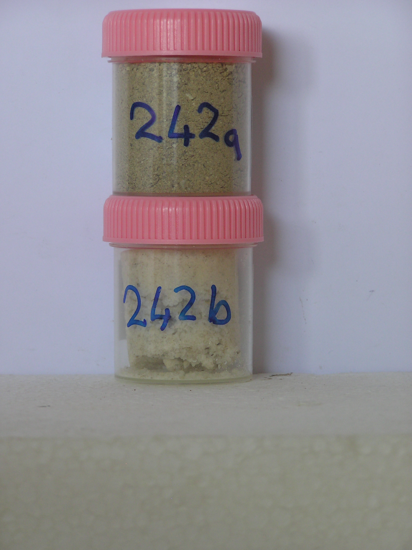
242a 0-5cm
101
| very pale brown to light yellowish brown (10YR 7/4 - 6/4) sandy granule and pebble gravel between fractured |
| bedrock |
102
loose
103
rock particles angular and unstained but some altered and crumbly
104
sharp boundary, on bedrock
242b 0-5cm
201
salts from the sides of rocks in the cleft and from beneath surface stones
Yes
a,b
0
4
Surfwea
| Between bedrock exposures are thin patchy accumulations of disaggregated sandstone; There are large Beacon rocks scattered over the surface; wind erosion is |
| evident from the occurrence of rocking stones and 1-1.5m of sandstone may have been removed; weathered soil is present in rock fissures; some of the |
| sandstone has been altered due to intrusions |
Geoland
| The sedimentary sequence is about 550m of Beacon Group rocks overlying the Kukri Peneplane cut in granite basement; The sediments are generally quartzitic |
| sandstones and silty shale with occasional conglomerate; dolerite intrusive rocks cap the ridge top; this sample site is near the base of the sedimentary sequence |
| Soluble Salt |
| Concentration |
24200001
64.00
24200002
24200001
24200002
calcite
24200001
24200002
12-Dec-2005
Page 199 of 896
242