Ross Sea Region Soil Sites
262000
262
28-Dec-1969
IBC, GGC
Scott Glacier region, southern Trans-antarctic Mountains, on the West side of the Robert Scott Glacier near Cox Peaks
Soil weathering examination
Nilsen Plateau
B&W Lscp
No
-153.4170
-86.0500
86deg 3.0'S
153deg 25.0'E
| Eastern end of the Cox Peaks range in a small NE trending hanging valley, about 300m above the ice level, towards the head of the valley a higher level moraine sloping |
| surface; |
6
NE
1,425
cf. Notes for GEOLAND below
| Scattered snow patches but no liquid thaw observed; probably some occasional surface soil |
| moistening |
30
Central Mountain
Bouldery granitic till with dolerite and argillaceous erratics
Nil observed
Nil
| SURFACE WEATHERING or |
| SURFACE FEATURES |
Distinct surface staining with reduction of surface boulders by weathering; some exfoliation and cavernous weathering; some salts beneath surface stones
Nil
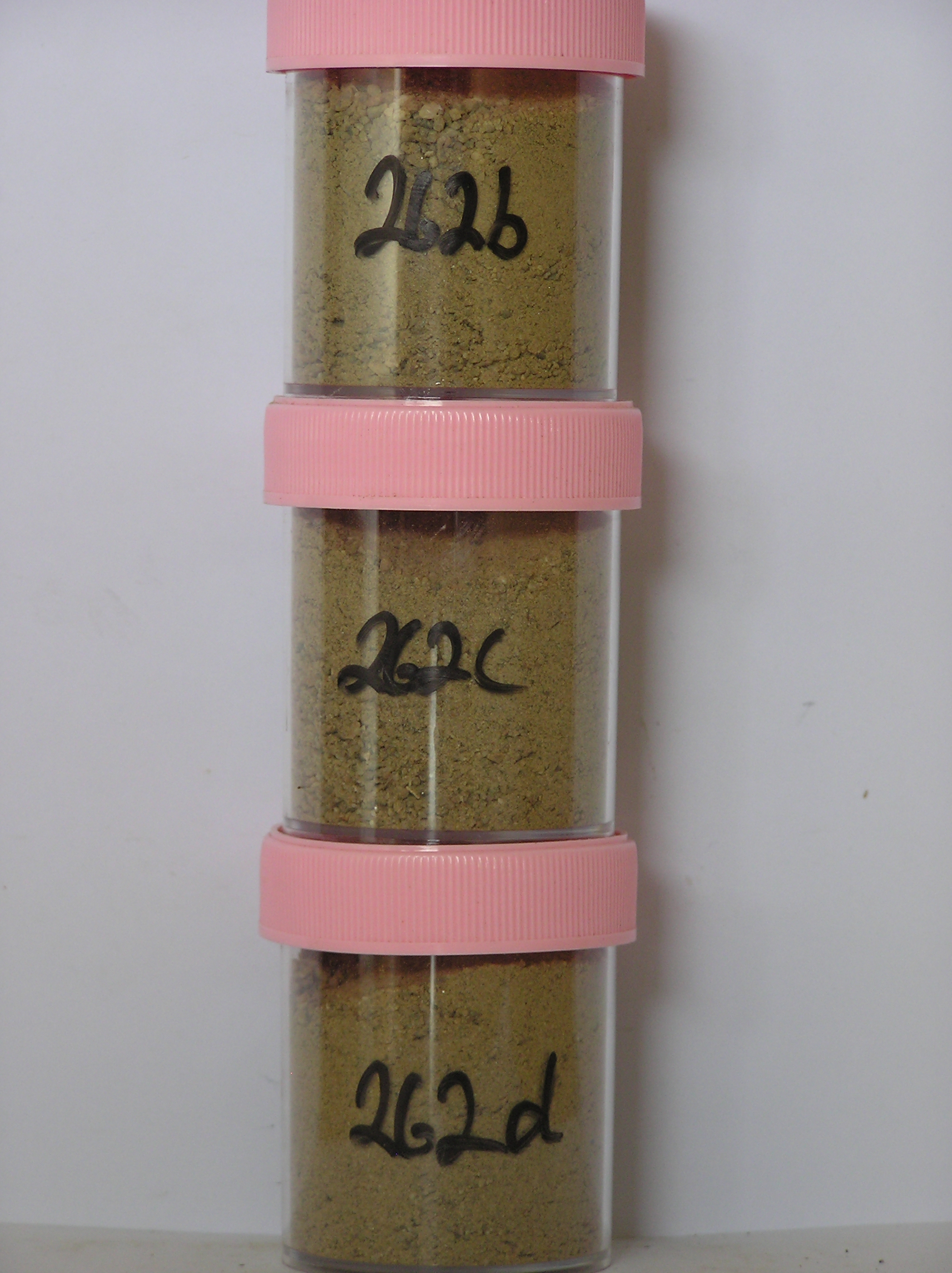
262a 8-0cm
101
surface boulders pebbles and granular sand
102
distinct surface staining with some rhind formation
103
subangular to subrounded
104
some salts beneath surface stones,
262b 0-17cm
201
light yellowish brown to brownish yellow (10YR 6/4 - 6/6) sandy pebble to boulder gravel
202
weakly cohesive
203
weakly developed vesicular structure
204
rock particles weakly stained and subangular to subrounded
205
distinct boundary,
262c 17-60cm
301
light yellowish brown to yellowish brown (10YR 6/4 - 5/4) sandy to silty bouldery gravel
302
loose
303
rock particles subangular to subrounded, weakly stained with some partly altered
304
some clasts partly disintegrating
305
some salt accumulations around a few clasts
306
and some scattered salt flecks
307
indistinct boundary,
262d 60-90cm
401
light yellowish brown to yellowish brown (10YR 6/4 - 5/4) sandy to silty bouldery gravel
402
rock particles distinctly stained and some thin oxide accumulations
Yes
b,c,d
Dry frozen
90
3/4
(>90cm)
Geoland
| Argillaceous sediments and volcanic and acid volcanic rocks, comprising conglomerates and breccias and intruded by granites occur in the area; the valley was |
| formerly invaded by Ross Ice Shelf ice which entered the Cox Peaks basin to level of around 1550m; the hanging valleys are part of a former landscape that has |
| been invaded by later ice advances; this till has more erratics and represents a different ice event |
| Soluble Salt |
| Concentration |
26200002
53.00
50.10
16.80
16.70
4.30
6.10
4.10
1.60
0.33
26200001
26200003
35.00
50.70
16.90
16.80
3.20
7.20
4.20
0.70
0.34
26200004
66.00
44.10
20.10
19.00
3.40
6.90
4.60
1.60
0.40
26200002
6.10
1.40
4.60
15.00
2.40
0.30
0.80
19.20
0.40
26200001
26200003
6.40
1.35
6.50
9.30
2.10
0.30
0.50
29.20
0.40
26200004
6.40
1.10
7.60
4.80
2.00
0.30
0.50
16.60
0.40
26200002
80
5
10
5
26200001
26200003
50
7
10
6
15
11
26200004
65
5
7
14
7
12-Dec-2005
Page 219 of 896
262