Ross Sea Region Soil Sites
269000
269
1-Jan-1970
IBC, GGC
Scott Glacier region, southern Trans-antarctic Mountains, on the West side of the Robert Scott Glacier
Soil weathering examination
Nilsen Plateau
B&W Lscp & Pro
No
-153.5580
-86.0250
86deg 1.5'S
153deg 33.5'E
| Just north of the Cox Peaks and 10km east of Mt Crockett on a low moraine surface formed between the retreating Scott Glacier ice and the local ice tongue just north of the |
| Cox Peaks; on an undulating recent till covered surface |
5
NW
900
cf. Notes for GEOLAND below
| Patchy snow in hollows and patterned ground cracks; meltwater pools are common and |
| scattered small frozen lakes exposed ice at the base of the soil thaws quickly |
-30
Central Mountain
Recent bouldery till from predominantly granitic overlying stagnant ice
Nil observed
Polygons up to 4m with cracks snow filled
| SURFACE WEATHERING or |
| SURFACE FEATURES |
Surface boulders unweathered and subangular to subrounded
Nil
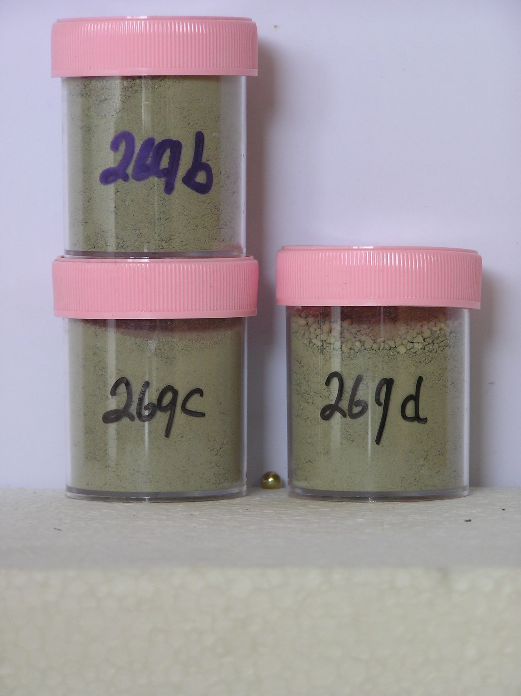
269a 3-0cm
101
surface granules, pebbles and scattered boulders
102
unstained,
269b 0-5cm
201
light olive grey (5Y 6/2) sandy granular to bouldery gravel
202
weakly cohesive forming a distinct surface crust
203
moderately developed vesicular structure
204
rock particles subangular and unstained
205
distinct boundary,
269c 5-20cm
301
light olive grey (5Y 6/2) sandy to silty bouldery gravel
302
weakly cohesive
303
rock particles subangular and unstained
304
distinct boundary,
269d 20-35cm
401
light olive grey (5Y 6/2) sandy to silty bouldery gravel
402
loose
403
rock particles subangular and unstained, sharp boundary, on stagnant ice
Yes
b,c,d
Stagnant ice
35
1
(35cm)
Geoland
| Recent moraine and tills have been deposited due to ice separation in two directions in the direction of the Scott Glacier and the valley head; the tills are forming |
| through recent and ongoing ice ablation; the landscape is mobile with kettle holes developing, being infilled with sliding debris and forming inverted sediment |
| cones |
| Soluble Salt |
| Concentration |
26900001
26900002
83.00
32.20
16.80
17.90
3.00
9.80
9.60
10.60
0.15
26900003
73.00
23.10
26.90
17.80
4.40
7.60
9.40
10.60
0.15
26900004
59.00
37.10
18.80
17.30
3.30
6.70
8.10
8.50
0.14
26900001
26900002
7.80
0.16
0.50
0.90
0.20
0.03
1.40
0.01
26900003
8.10
0.65
3.30
2.40
1.20
1.70
2.50
0.30
26900004
7.50
0.35
2.00
1.50
0.40
0.60
1.60
0.10
26900001
26900002
65
5
5
20
5
26900003
55
5
5
5
15
5
26900004
75
15
5
5
12-Dec-2005
Page 226 of 896
269