Ross Sea Region Soil Sites
270000
270
1-Jan-1970
IBC, GGC
Scott Glacier region, southern Trans-antarctic Mountains, on the West side of the Robert Scott Glacier
Soil weathering examination
Nilsen Plateau
B&W Lscp
No
-153.5000
-86.0250
86deg 1.5'S
153deg 30.0'E
| Just north of the Cox Peaks and 10km east of Mt Crockett on a low moraine surface formed between the retreating Scott Glacier ice and the local ice tongue just north of the |
| Cox Peaks; on a lower altitude part of the till surface |
5
E
850
cf. Notes for GEOLAND below
| Patchy snow in hollows and patterned ground cracks; meltwater pools are common and |
| scattered small frozen lakes exposed ice at the base of the soil thaws quickly; the soil is moist |
| in patches |
-30
Central Mountain
Recent bouldery till from predominantly granitic overlying stagnant ice
Nil observed
Polygons up to 4m with cracks snow filled
| SURFACE WEATHERING or |
| SURFACE FEATURES |
Surface boulders unweathered and subangular to subrounded
Nil
1-0cm
101
surface granules, pebbles and scattered boulders
102
unstained,
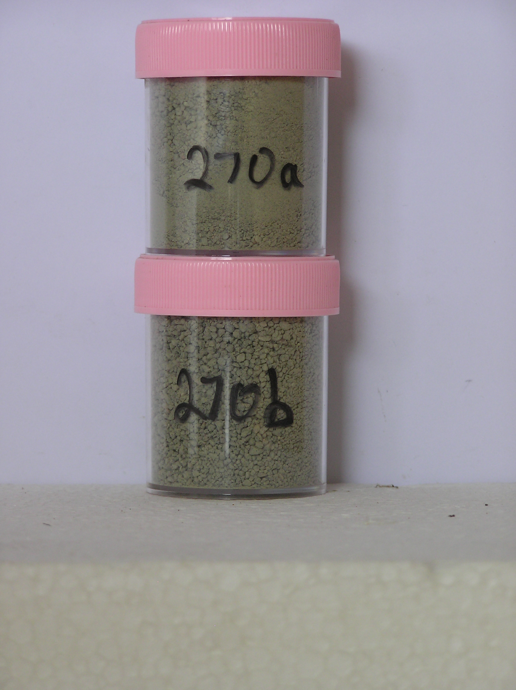
270a 0-10cm
201
light olive grey (5Y 6/2) sandy granular to bouldery gravel
202
weakly cohesive with a distinct surface crust
203
moderately developed vesicular structure
204
rock particles subangular and unstained
205
some fines coating rock particles
206
distinct boundary,
270b 10-22cm
301
light olive grey (5Y 6/2) sandy to silty bouldery gravel
302
moist
303
weakly cohesive
304
rock particles subangular and unstained
305
distinct boundary,
270c 22-25cm
401
light olive grey (5Y 6/2) sandy gravel
402
firmly frozen
403
rock particles subangular and unstained, sharp boundary, on stagnant ice
Yes
a,b
Stagnant ice
25
1
(25cm)
Geoland
| Recent moraine and tills have been deposited due to ice separation in two directions in the direction of the Scott Glacier and the valley head; the tills are forming |
| through recent and ongoing ice ablation; the landscape is mobile with kettle holes developing, being infilled with sliding debris and forming inverted sediment |
| cones; where the till mantle is thinner, it is probably younger |
| Soluble Salt |
| Concentration |
27000002
48.00
47.00
23.20
13.20
0.40
5.40
4.60
6.00
0.12
27000001
75.00
32.70
23.20
22.20
3.10
7.00
5.00
6.00
0.15
27000002
7.20
0.15
27000001
7.40
0.15
27000002
55
15
25
5
27000001
40
5
15
35
5
12-Dec-2005
Page 227 of 896
270