Ross Sea Region Soil Sites
295000
295
14-Jan-1970
IBC, GGC
Scott Glacier region, southern Trans-antarctic Mountains, on the West side of the Robert Scott Glacier, about 12km from the coast west of the Medina Peaks
Soil weathering examination
Mount Goodale
No
-157.8330
-85.5500
85deg 33.0'S
157deg 50.0'E
Brown Peaks on the eastern side of the Amundsen Glacier, at the northern end; from a site on the ridge crest; the site is adjacent to site 294
0
Nil
910
| The area has a complex and variable sequence of rocks including metasedimentary quartzite, marbles, schists, and granitised sediments; the rocks at this site are dominantly |
| granitic |
The soils are very moist from thawing snow patches
-20
Coastal Mountain
Thin till cover with granitic bedrock
Black lichen growing abundantly on rock and soil surfaces Soil sampled underneath lichen occurrence
| SURFACE WEATHERING or |
| SURFACE FEATURES |
Surface rocks are strongly oxidised and well stained; also crumbly; some local solifluction; weathering may be relict
Nil
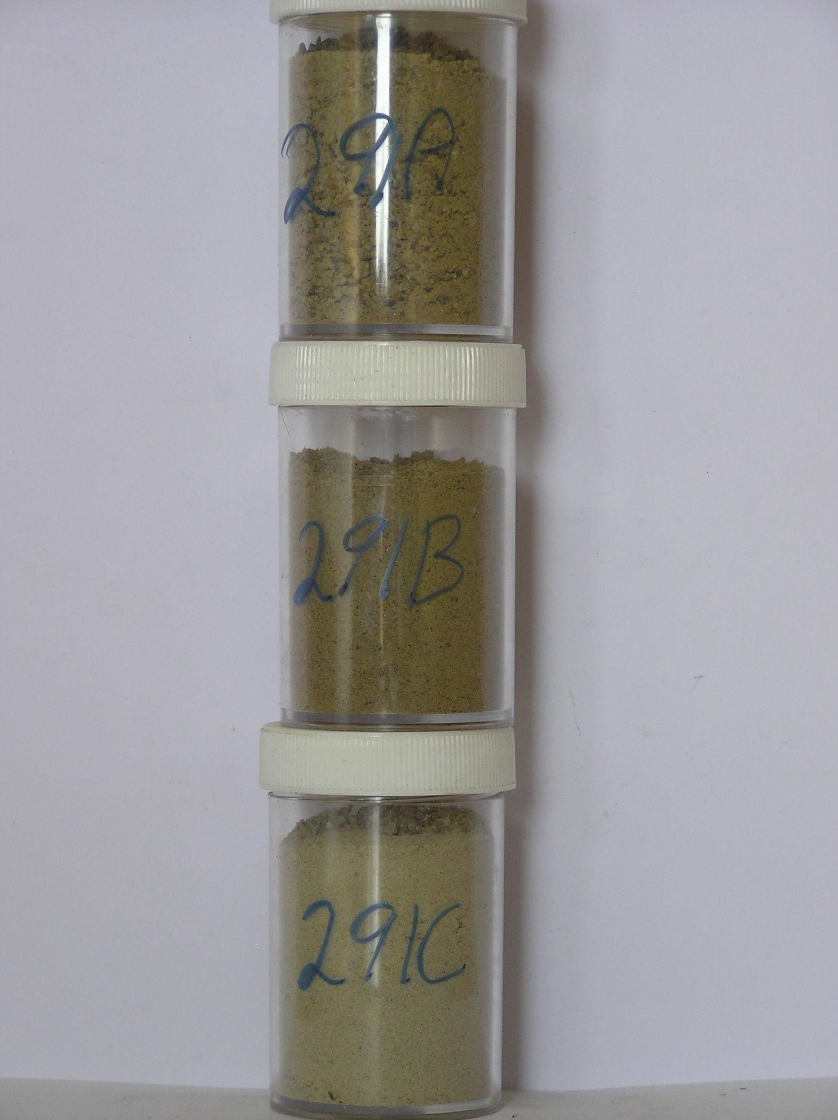
295a 0-1cm
101
yellowish brown (10YR 5/8) granular sandy gravel
102
moderately cohesive
103
moderately developed vesicular structure
104
many black lichen clusters on the soil surface with hyphae through the soil
105
rock particles strongly stained and subangular
106
distinct boundary,
295b 1-4cm
201
yellowish brown (10YR 5/4) sandy granular pebble to boulder gravel
202
loose
203
rock particles strongly stained and angular
204
indistinct boundary,
295c 4-20cm
301
yellowish brown (10YR 5/4) granular pebble to boulder gravel
302
loose
303
sharp boundary
304
on bedrock
Yes
a,b,c
20
4
(>20cm)
| Soluble Salt |
| Concentration |
29500001
50.00
29500002
52.00
29500003
32.00
29500001
29500002
29500003
thenardite
29500001
29500002
29500003
12-Dec-2005
Page 252 of 896
295