Ross Sea Region Soil Sites
306000
306
15-Nov-1972
IBC, GGC
Taylor Dry Valley, McMurdo Dry Valley region near Lake Bonney
Soil Characterisation
USGS 1:50,000 Antarctic Topo. Ser. Lake Bonney Quadrangle
B&W+CS Pro & CS Lsc
No
162.6330
-77.7000
77deg 42.0'S
-162deg -38.0'E
| On the south side of Taylor Valley, approximately 3km east of Lake Bonney opposite La Croix Glacier; on a broad uneven gently sloping surface, about 200m N of a basalt |
| cone; the till cover thins with bedrock exposures 30m to the south |
4
NW
450
cf. Notes for GEOLAND below
(4o)
A dry site but small snow patches in the vicinity
-23
Central Mountain
Granitic sandy bouldery moraine with surficial basaltic scoria
Nil observed
Nil
| SURFACE WEATHERING or |
| SURFACE FEATURES |
| A few large adjacent 2m boulders with some cavernous weathering, surface boulders with distinct staining, rounding and some exfoliation; the pavement |
| between larger clasts is mainly fine gravelly and moderately developed |
Nil
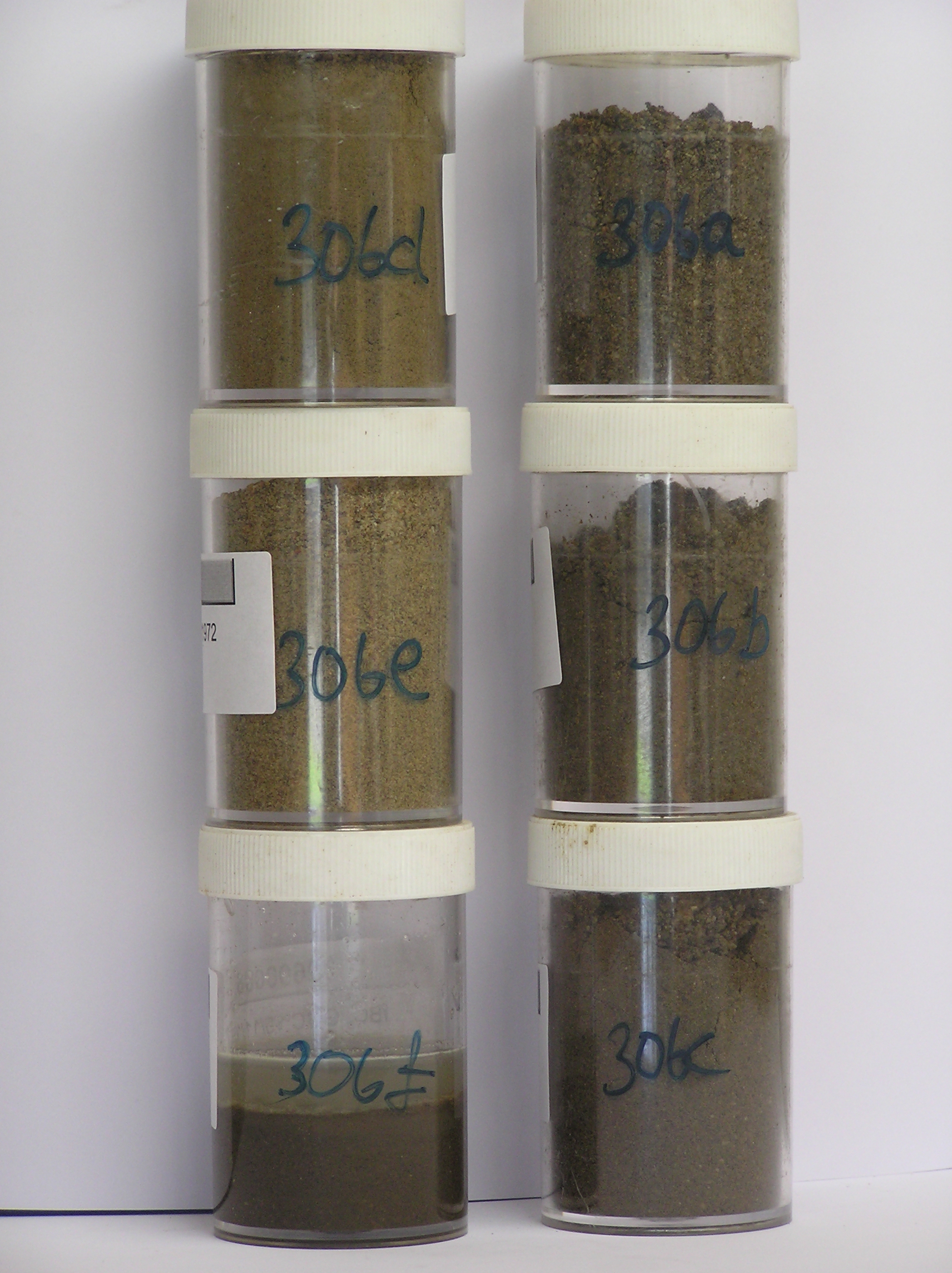
306a 2-0cm
101
surface scattered boulders and pebbly granular gravel
102
granitic boulders rounded and weakly to moderately stained
103
many basaltic lapilli
104
fine gravels subrounded,
306b 0-10cm
201
olive brown (2.5Y 4/4) gravelly sand
202
loose to weakly cohesive
203
slightly moist (hygroscopically)
204
a few diffuse salts mainly around stones
205
rock particles subrounded to subangular and non to weakly stained
206
indistinct boundary,
306c 10-27cm
301
olive brown (2.5Y 4/4) gravelly sand
302
weakly to moderately cohesive
303
many diffuse salts forming an indistinct continuous horizon
304
rock particles mainly angular and unstained
305
indistinct boundary,
306d 27-55cm
401
light olive brown (2.5Y 5/4) gravelly sand
402
weakly cohesive
403
rock particles angular and unstained
404
distinct boundary,
306e 55-70cm
501
light yellowish brown (2.5Y 6/4) gravelly sand
502
loose
503
rock particles angular and unstained
Yes
a,b,c,d,e,f
Dry frozen
70
3
(>70cm)
Geoland
| Glacial deposits in the area are formed from a complex interaction of advances from the Taylor Glacier with nearby alpine glaciers; granitic rocks are common |
| and intruded by dolerite and dyke rocks but there are also numerous small volcanic cones which post-date glacial episodes; surface volcanic debris is much |
| smaller than at site 305 and may not have been transported by ice; the volcanic material appears to lie on the surface but may not be within the soil, which would |
| make the soil older than the volcanics |
| Soluble Salt |
| Concentration |
30600001
55.00
51.70
19.20
18.90
2.20
2.70
3.70
1.20
0.26
30600002
56.00
39.50
20.10
13.60
3.20
9.60
10.10
3.50
0.36
30600003
56.00
32.20
21.40
24.00
4.20
6.60
8.40
2.70
0.35
30600004
64.00
23.30
18.10
21.60
7.90
13.50
12.30
2.80
0.33
30600005
99.00
16.70
44.60
33.30
1.30
17.40
1.60
0.30
0.27
30600006
11.50
14.50
20.10
9.00
15.20
22.50
6.60
0.54
30600001
7.50
4.60
9.50
3.20
9.00
0.60
860.00
3.10
0.07
30600002
7.70
9.50
13.00
5.00
31.00
1.40
0.70
8.10
0.30
30600003
7.70
8.20
17.50
2.70
25.00
1.00
2.00
3.10
0.20
30600004
8.10
5.90
13.00
1.00
12.50
0.90
1.80
0.70
0.20
30600005
7.30
1.27
2.70
0.20
1.40
0.20
5.10
0.20
0.02
30600006
6.30
1.31
900.00
15.00
32.00
3.50
0.60
12.50
0.01
30600001
55
20
5
20
30600002
65
15
15
5
30600003
100
30600004
100
30600005
100
30600006
12-Dec-2005
Page 263 of 896
306