Ross Sea Region Soil Sites
312000
312
19-Nov-1972
IBC, GGC
Taylor Dry Valley, McMurdo Dry Valley region near Lake Bonney
Soil weathering examination
USGS 1:50,000 Antarctic Topo. Ser. Lake Bonney Quadrangle
CS+B&W Lsc & Pro
No
162.5000
-77.7000
77deg 42.0'S
-162deg -30.0'E
cf. Notes for DESCR below
5
SE
150
cf. Notes for GEOLAND below
(5o)
0
-2.0
3
-2.0
10
-4.0
40
-10.0
55
-10.0
Surface dry with damp patches; dampness may be influenced by soil salinity
-23
Central Mountain
Sandy to silty gravelly till
Nil observed
Nil
| SURFACE WEATHERING or |
| SURFACE FEATURES |
| Scattered upstanding dolerite boulders, rounded to subrounded, some partly fragmented, non to weakly stained; weakly to moderately developed pebble |
| pavement; granite boulders exfoliating and crumbling; a weakly developed cobble pavement |
Nil
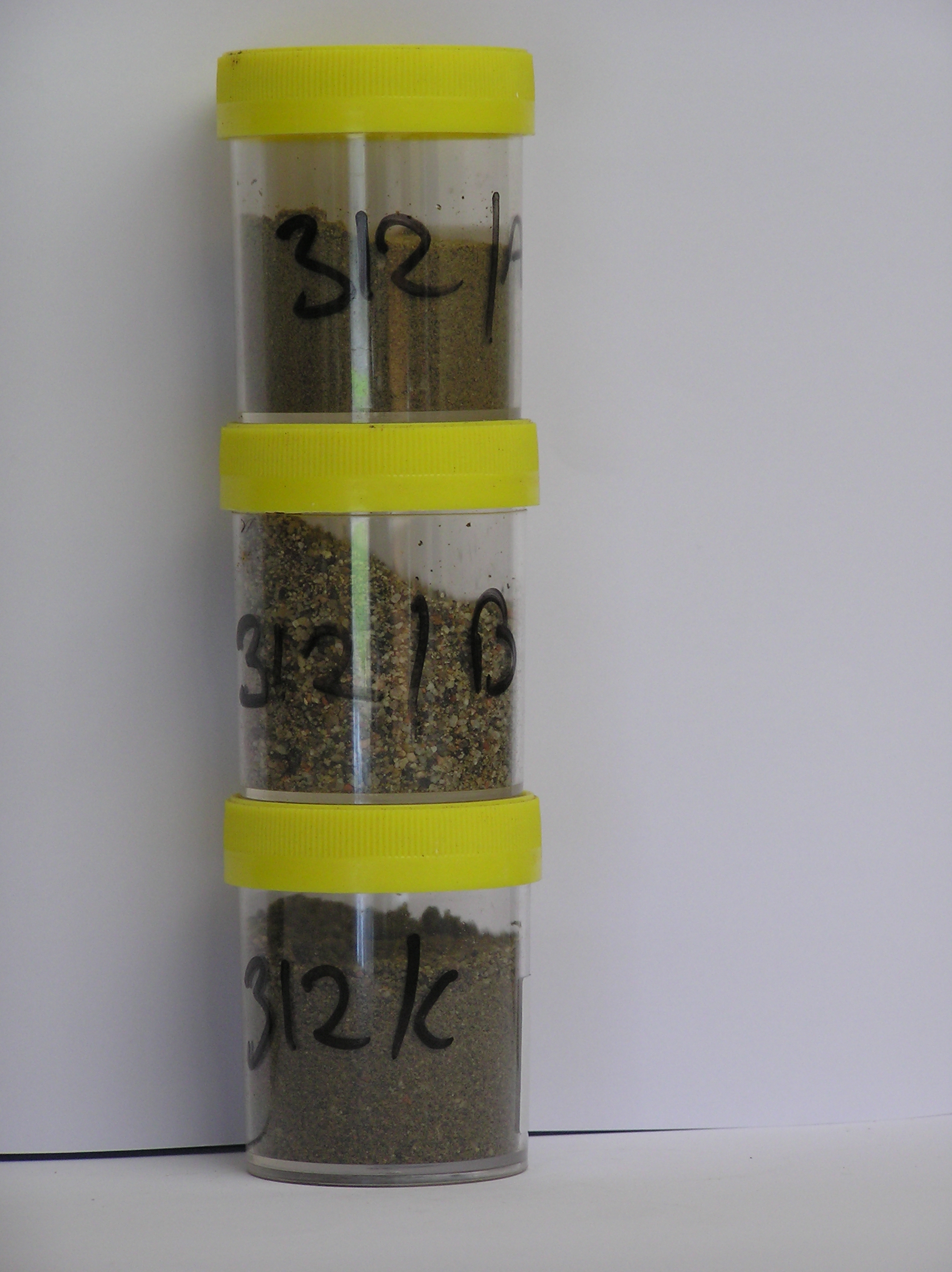
312 3-0cm
101
surface pebbles and cobbles
102
subrounded
103
non to weakly stained,
312a 0-6cm
201
light olive brown (2.5Y 5/4) sandy to silty gravel
202
loose
203
rock particles angular to subangular and unstained
204
distinct boundary,
312b 6-10cm
301
light olive brown (2.5Y 5/6) gravelly sand
302
loose
303
rock particles rounded to subrounded and unstained
304
distinct boundary,
312c 10-35cm
401
light olive brown (2.5Y 5/6) sandy fine gravel
402
weakly cohesive
403
slightly moist
404
rock particles subrounded and unstained
405
distinct boundary,
312d 35-55cm
501
light olive brown (2.5Y 5/6) sandy gravel
502
frosted
503
sharp boundary, on frozen ground
Yes
a,b,c
Hard ice-cemented
55
2
(55cm)
Descr
| On the north side of Lake Bonney on the lower valley surface between Matterhorn and La Croix Glaciers on a broad sloping gravelly surface with patches of |
| damp ground surface; approximately .5km from the NE end of Lake Bonney; the soil was sampled at the left side of the exposed pit and soil 313 1m away on the |
| right side where the soil was damp |
Geoland
| The lower valley sides are covered with tills derived from local granite and dolerite; The valley has a complex history of glacial advances and retreats and |
| probably also fluctuating lake levels; patches of ground with apparently moist soil surfaces suggest the possibility of subsurface moisture flow but there is little |
| evidence for this; the moist patches may relate to salinity differences within the regolith and hygroscopic moistening of salty soils |
| Soluble Salt |
| Concentration |
31200001
84.00
27.70
27.60
19.00
9.80
4.80
8.80
2.00
0.17
31200002
87.00
55.00
35.90
8.20
0.30
0.00
0.00
0.30
0.08
31200003
93.00
29.40
37.30
19.40
5.20
3.00
4.80
0.50
0.12
31200001
8.20
2.60
6.70
8.80
13.40
0.70
24.90
5.60
0.10
31200002
8.70
1.10
1.90
1.69
2.80
0.10
5.20
1.20
0.05
31200003
8.60
9.10
8.70
1.87
6.90
0.40
7.60
1.06
0.06
31200001
65
35
31200002
glassy
31200003
40
20
15
20
12-Dec-2005
Page 269 of 896
312