Ross Sea Region Soil Sites
314000
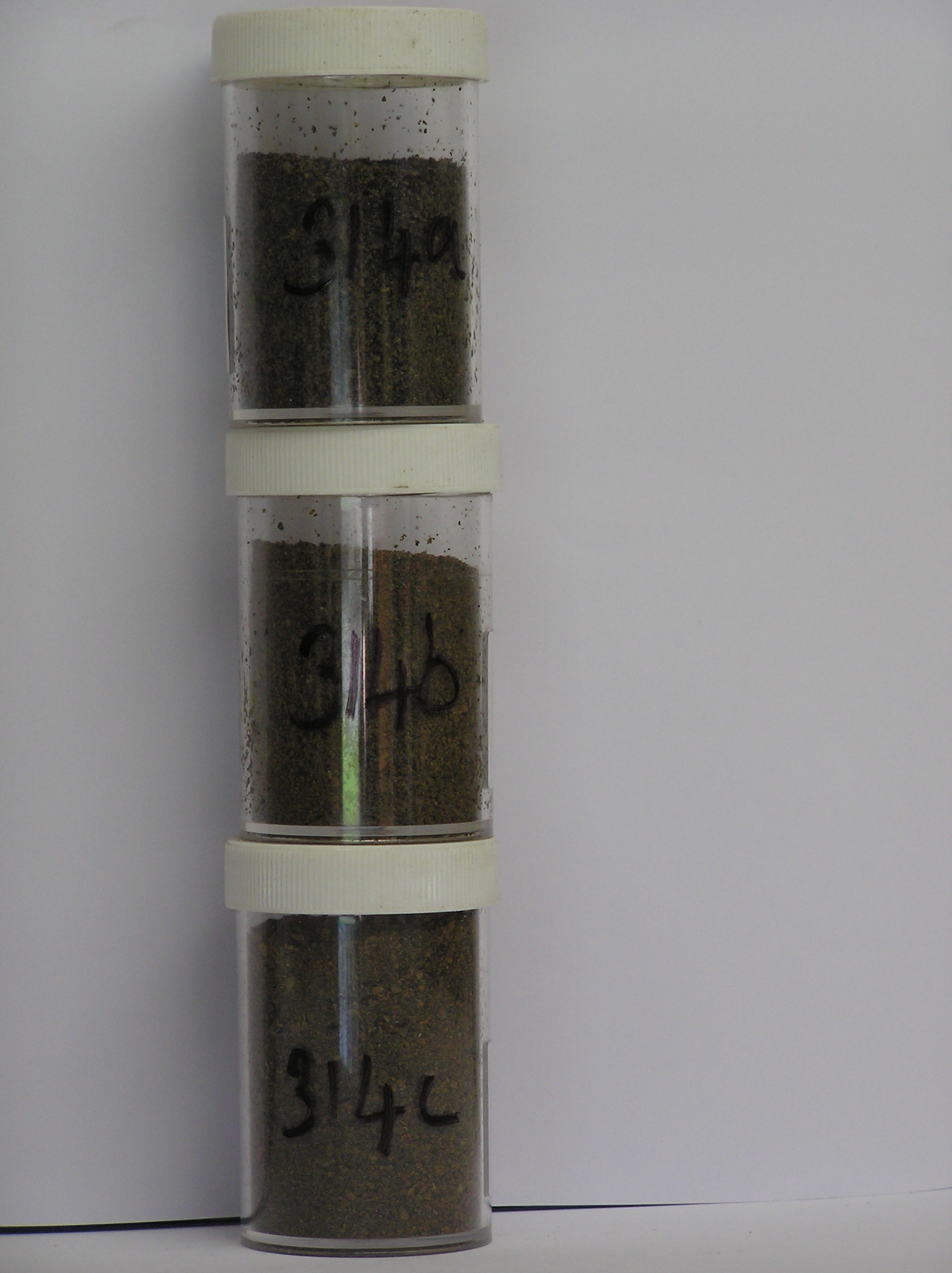
314
20-Nov-1972
IBC, GGC
Taylor Dry Valley, McMurdo Dry Valley region near Lake Bonney
Soil weathering examination
USGS 1:50,000 Antarctic Topo. Ser. Lake Bonney Quadrangle
B&W Pro & Lsc
No
162.5230
-77.7167
77deg 43.0'S
-162deg -31.4'E
| On the SE side of Lake Bonney, approximately 1.3km S of the NE end of the lake, on a bench surface which is devoid of a till cover; the surface is an undulating bedrock |
| surface with scattered large erratics; the soil site is on weathered granite bedrock |
20
W
350
cf. Notes for GEOLAND below
(20o)
A dry site with no snow nearby snow patches
-23
Central Mountain
Disaggregated in situ granitic bedrock
Nil observed
Nil
| SURFACE WEATHERING or |
| SURFACE FEATURES |
| Surface boulders show moderate cavernous weathering with some accompanying bedrock wind-scoop excavation; bedrock is mainly unweathered but in a |
| few places is disaggregated to 36cm depth; smaller surface clasts are mainly harder dolerite pebbles |
Nil
314 1-0cm
101
thin cover of pebbles and granules forming a weak pavement
102
subangular to subrounded with larger clasts rounded,
314a 0-5cm
201
dark brown (10YR 3/3) granular pebbly gravel
202
weakly cohesive
203
rock particles angular and weakly to moderately stained
204
indistinct boundary,
314b 5-10cm
301
dark yellowish brown (10YR 3/4) pebbly gravel
302
weakly cohesive
303
rock particles moderately stained
304
crumbly rock fabric
305
indistinct boundary,
314c 10-20cm
401
dark yellowish brown (10YR 3/3) pebbly granular gravel
402
weakly cohesive
403
rock particles subangular, moderately stained and some partly altered
404
bedrock fabric crumbled
405
sharp boundary, on firm partly disaggregating bedrock
Yes
a,b,c
Dry frozen bedrock
36
3
(>36cm)
Geoland
| The granite bedrock surface, cut by occasional dolerite dykes, is undulating with minor till remnants but numerous large (up to 5m) granite erratics; the surface |
| has probably been exposed after retreat of the local alpine glaciers which appear to have carried little debris; the surface is old judged by the cavernously |
| weathered erratics and also bedrock weathering and disaggregation in places |
| Soluble Salt |
| Concentration |
31400001
39.00
58.50
17.20
12.40
2.80
2.60
2.60
2.90
0.95
31400002
65.00
51.00
18.50
14.10
0.30
6.90
3.50
4.10
1.44
31400003
53.00
51.00
19.90
15.00
3.70
3.40
2.60
3.30
1.09
31400001
7.00
9.50
22.00
4.60
22.70
1.70
50.20
2.90
0.70
31400002
7.00
10.50
28.50
9.10
23.70
1.90
49.80
10.00
0.60
31400003
6.40
3.10
5.70
3.80
8.50
0.90
12.40
5.80
0.10
31400001
80
10
10
31400002
20
10
70
31400003
15
85
12-Dec-2005
Page 271 of 896
314