Ross Sea Region Soil Sites
319000
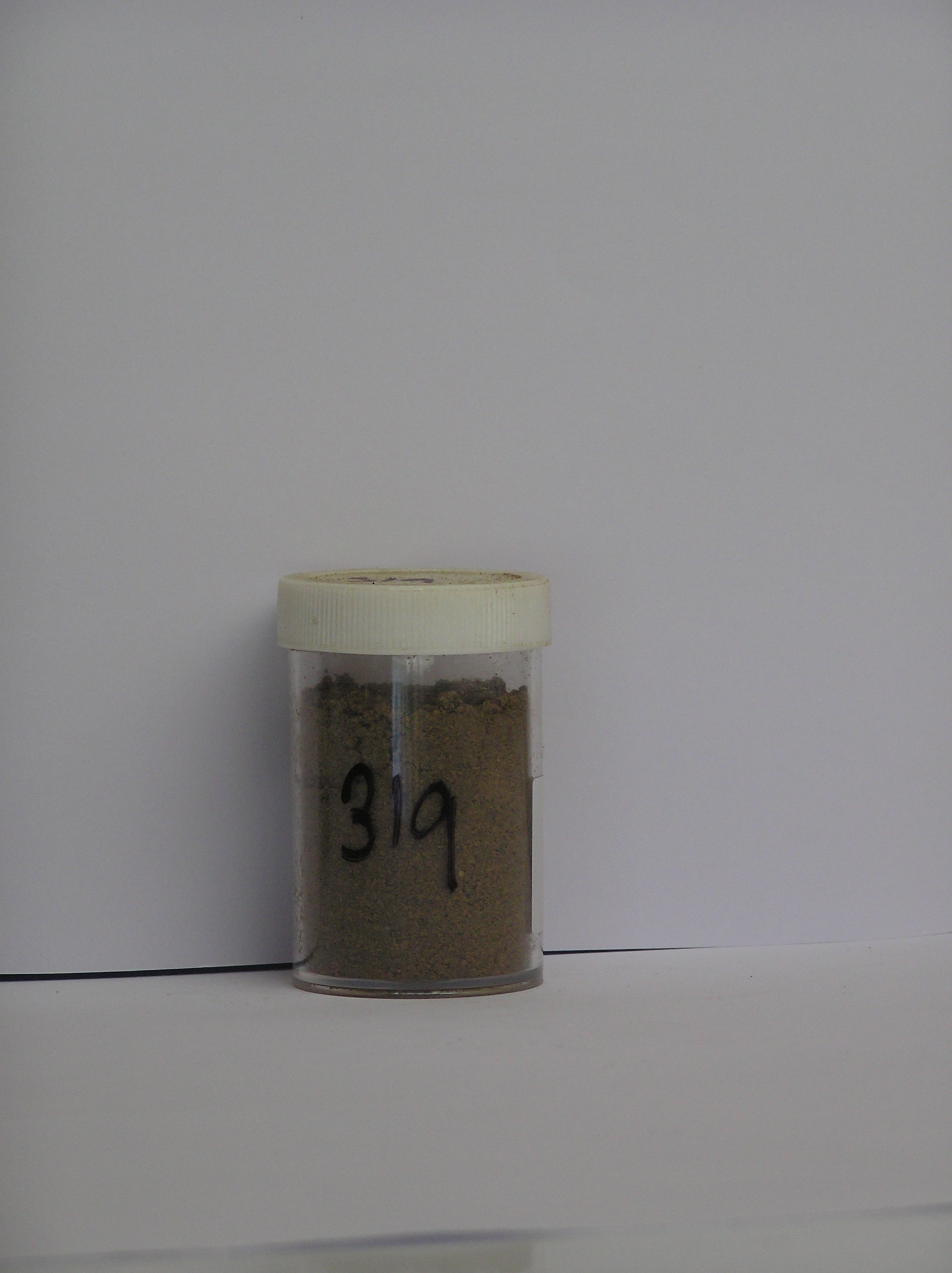
319
20-Nov-1972
IBC, GGC
Taylor Dry Valley, McMurdo Dry Valley region near Lake Bonney
Soil sequence weathering examination
USGS 1:50,000 Antarctic Topo. Ser. Lake Bonney Quadrangle
CS Lsc
No
162.4570
-77.7283
77deg 43.7'S
-162deg -27.4'E
cf. Notes for DESCR below
10
NW
360
cf. Notes for GEOLAND below
(10o)
The site is dry with no snow drift or glacier runoff
-23
Central Mountain
Fine gravelly granitic till with minor dolerite; there may be some reworked material
Nil observed
Nil
| SURFACE WEATHERING or |
| SURFACE FEATURES |
A well developed pebble pavement with distinct surface oxidation
Nil
319 0-2cm
101
surface pebbly granular sand with scattered boulders
102
rock particle subrounded and weakly stained
319a 0-15cm
201
yellowish brown to olive brown (10YR 5/6 - 2.5Y 5/6) sandy gravel
202
a few fine salt flecks
203
rock particles subangular to subrounded and weakly stained indistinct boundary, on sandy gravel
Yes
a
30
3
(>30cm)
Descr
| On the SE side of Lake Bonney, immediately adjacent to and near the snout of the Hughes Glacier; a bouldery surface which forms part of a series (4th) of |
| moraine loops marking glacial retreat stages; the site is in a hollow between the 3rd and 4th moraine loops which are marked by a ridge of boulders |
| approximately 55m from the glacier edge |
Geoland
| Alpine glaciers show clear geomorphic evidence of former advance and retreat stages with a series of small closely spaced ridges or terminal moraines over |
| about 100m indicating the former glacier position; weathering increases with distance away from the glacier, suggesting that there may be a considerable age |
| difference between the moraine surfaces; this 4th surface on a patch of finer till is clearly more weathered than the surfaces nearer to the glacier |
| Soluble Salt |
| Concentration |
31900001
56.00
50.20
13.10
13.10
3.00
6.70
6.10
5.40
2.31
31900001
8.20
8.00
17.50
5.60
20.60
0.80
38.50
0.60
2.30
31900001
10
15
30
35
12-Dec-2005
Page 276 of 896
319