Ross Sea Region Soil Sites
324000
324
23-Nov-1972
IBC, GGC
Taylor Dry Valley, McMurdo Dry Valley region, Rhone Glacier
Soil weathering examination
USGS 1:50,000 Antarctic Topo. Ser. Lake Bonney Quadrangle
No
162.0320
-77.6917
77deg 41.5'S
-162deg -1.9'E
cf. Notes for DESCR below
0
Nil
1,550
cf. Notes for GEOLAND below
(0o)
Dry soil but some snow patches nearby; soil is probably moistened occasionally
-27
Inland Mountain
Weathering dolerite bedrock; soil from in a rock cleft
Nil observed
Nil
| SURFACE WEATHERING or |
| SURFACE FEATURES |
Surface dolerite boulders are well rounded and fine textured dolerite is distinctly pitted; coarse dolerite shows, surface exfoliation; distinct surface staining
Nil
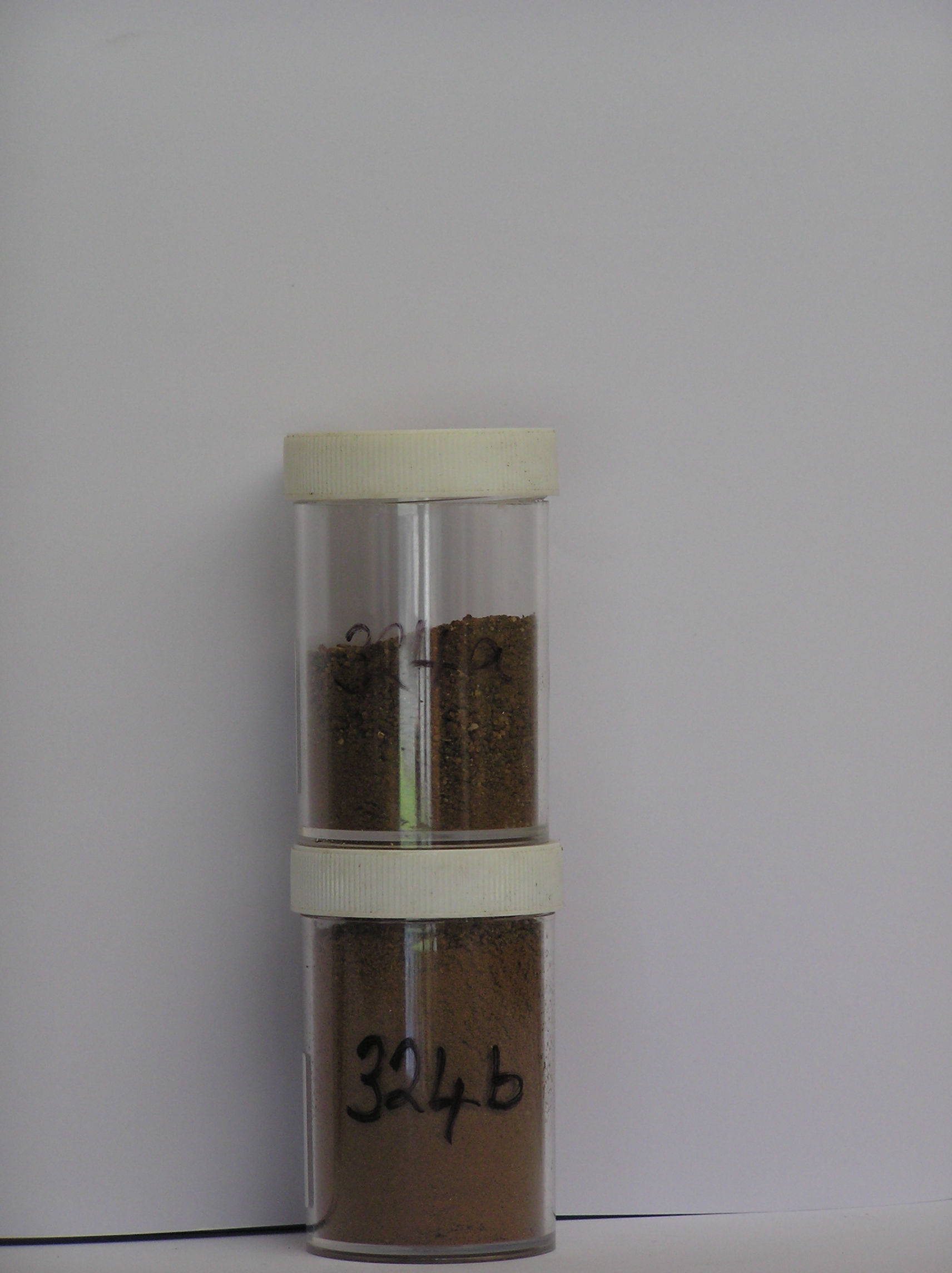
324a 0-10cm
101
brown to dark brown yellowish red (7.5YR4/4 - 5YR 4/6) sandy to silty gravel
102
moderately cohesive
103
few diffuse salts
104
fine particles subangular to subrounded, strongly stained and moderately to strongly altered
105
some clasts disaggregating
106
bedrock angular and moderately stained
107
indistinct boundary,
324b 10-25cm
201
strong brown (7.5YR 5/6) sandy to silty gravel
202
moderately cohesive
203
abundant salts
204
rock particles angular and non to moderately stained
205
some particles disaggregating, sharp boundary, on fractured bedrock
Yes
a,b
Dry frozen
25
5
(>25cm)
Descr
| Near a dolerite knoll, about 1km W of the Rhone Glacier and 4.5km S of Taylor Glacier; a residual well weathered dolerite surface with scattered rounded |
| bedrock outcrops separated by small flattish surfaces in between; this site is 20m from site 323 and from a rock cleft with more strongly weathered soil |
Geoland
| Higher altitude surfaces west of the Rhone Glacier are very old and show strong weathering; bedrock ventiforms are present with exfoliation and wind removal |
| of up to 1m of bedrock; erratics are absent indicating there has been no ice cover for a long time; patches of more strongly weathered soil are preserved in clefts |
| between bedrock |
| Soluble Salt |
| Concentration |
32400001
77.00
42.10
21.30
14.00
3.10
4.20
3.90
10.90
0.27
32400002
62.00
17.40
11.70
14.10
6.70
10.30
10.60
28.60
0.42
32400001
7.60
5.90
23.20
5.80
5.20
0.10
18.20
10.40
5.50
32400002
7.60
13.00
39.00
18.50
18.50
0.30
53.00
7.30
11.30
32400001
60
10
20
5
32400002
60
15
20
5
12-Dec-2005
Page 281 of 896
324