Ross Sea Region Soil Sites
331000
331
27-Nov-1972
IBC, GGC
Taylor Dry Valley, McMurdo Dry Valley region, Rhone Glacier
Soil weathering examination
USGS 1:50,000 Antarctic Topo. Ser. Lake Bonney Quadrangle
B&W+CS Lsc & B&W Pro
No
162.1170
-77.6883
77deg 41.3'S
-162deg -7.0'E
4.5km N of Taylor Glacier and 250m from the edge of the Rhone Glacier; near the centre of a slightly subdued lateral moraine surface
4
N
1,345
cf. Notes for GEOLAND below
(4o)
| A dry site some snow lying in patterned ground cracks; recent snow fall has disappeared; no |
| soil moistening observed |
-25
Inland Mountain
Sandy gravel till from mixed granite, dolerite and sandstone
Nil observed
Weakly developed
| SURFACE WEATHERING or |
| SURFACE FEATURES |
| Few upstanding boulders; most subrounded with exfoliation and granular disintegration present; some weakly developed ventiforms; occasional salt |
| efflorescences; some distinct but generally weak staining; a moderately developed pavement |
Nil
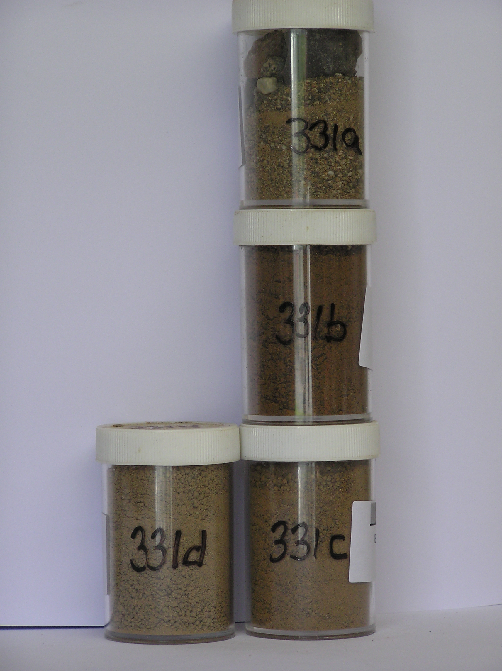
331a 2-0cm
101
surface pebbles cobbles and granular sand
102
some partly crumbled and fractured
103
subangular
104
partly stained and some weakly altered
331b 0-5cm
201
yellowish brown (10YR 5/6) granular gravelly sand
202
weakly cohesive
203
rock particles mainly subangular and weakly stained with some weakly altered
204
some clasts crumbly and disaggregating
205
distinct boundary,
331c 5-24cm
301
yellowish brown (10YR 5/6) sandy gravel
302
moderately cohesive
303
weakly frosted
304
weakly developed vesicular structure
305
rock particles angular, non to weakly stained and some weakly altered
306
sharp boundary,
331d 24-40cm
401
light yellowish brown (2.5Y 6/4) sandy gravel
402
very firm
403
partly frozen
404
rock particles angular, some weakly stained
Yes
a,b,c,d
Hard ice-cemented
40
3
(40cm)
Geoland
| The Rhone Glacier has a series of till deposits that increase in age in a SW direction away from the present glacier position; not far from the glacier edge, the till |
| passes into till-free granite bedrock with well developed cavernous weathering; the weathering sequence suggests that there may have been little fluctuation of |
| the Rhone Glacier from its present position; this till is distinctly weathered |
| Soluble Salt |
| Concentration |
33100001
20.00
33100002
73.00
30.20
20.90
15.00
3.00
4.20
4.50
1.80
0.42
33100003
75.00
44.10
22.80
18.70
3.60
4.50
4.20
1.70
0.45
33100004
65.00
45.80
22.50
17.60
3.40
4.50
4.10
1.60
0.44
33100001
33100002
7.80
1.00
11.00
6.50
1.50
0.03
8.00
9.20
0.90
33100003
7.30
0.50
5.50
0.60
0.80
0.20
4.20
1.80
0.70
33100004
7.40
0.20
2.10
0.60
0.50
0.10
1.50
1.70
0.30
thenardite
33100001
33100002
35
15
5
25
20
33100003
30
20
40
10
33100004
30
70
12-Dec-2005
Page 288 of 896
331