Ross Sea Region Soil Sites
336000
336
30-Nov-1972
IBC, GGC
Wright Valley, McMurdo Dry Valley region
Soil weathering examination
USGS 1:50,000 Antarctic Topo. Ser. Labyrinth Quadrangle
CS+B&W Lsc & B&W Pro
No
160.8500
-77.6217
77deg 37.3'S
-160deg -51.0'E
Sessrumnir Valley in the Asgard Range on the SE side on a bouldery till surface 50m from the cirque head alpine glacier; a bouldery uneven sloping surface
15
SE
1,750
cf. Notes for GEOLAND below
(15o)
Extensive snow in pockets and amongst boulders; no thawing or soil moistening
-27
Inland Mountain
Bouldery doleritic till with some sandstone
Nil observed but endolithic lichens common in sandstone
Weakly developed patterned ground cracks and ice-cored; inactivity may be due to lower temperatures
| SURFACE WEATHERING or |
| SURFACE FEATURES |
| Boulders up to 1.75m; mostly subangular but some rounding; little fragmentation; moderate surface staining that may be inherited from head wall rock |
| source; a few scattered surface salts; no pavement |
Nil
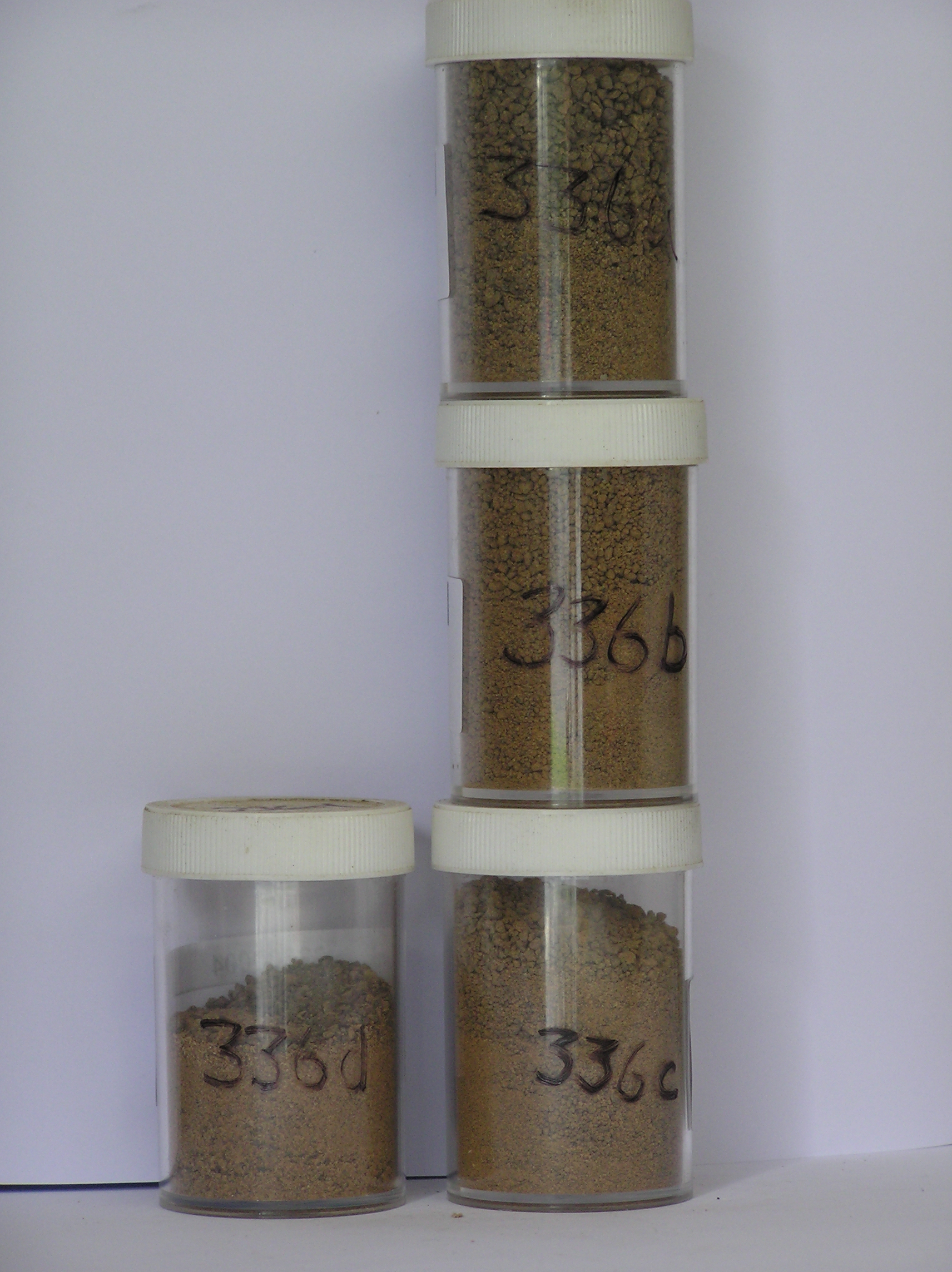
336 6-0cm
101
surface boulders, cobbles and granular sand
102
rock particles subangular to subrounded, strongly stained
336a 0-5cm
201
brownish yellow ( 10YR 5/6) sandy bouldery gravel
202
weakly cohesive
203
weakly developed vesicular structure
204
a few fine salt flecks
205
rock particles angular
206
weakly to moderately stained and weakly to moderately altered
207
sharp boundary,
336b 5-10cm
301
yellowish brown (10YR 5/4) sandy gravel
302
weakly cohesive
303
frosted
304
rock particles angular, weakly stained and some weakly to moderately altered
305
sharp boundary,
336c 10-15cm
401
brown to dark brown (7.5YR 4/4 moist) sandy gravel
402
very hard
403
ice-cemented
Yes
a,b,c,d
Hard ice-cemented over stagnant glacial ice
15
2
(15cm)
Geoland
| Alpine valleys of the Asgard Range are amongst the oldest known landscapes in Antarctica dating back to the Miocene based on till, soil and volcanic ash |
| deposits; the present cirque head glacier is a remnant of a former glacier which filled the valley; tills associated with this glacier are derived from valley head |
| wall attrition of dolerite and are very bouldery and young; the till age is probably Alpine I but the soil materials are probably pre-weathered |
| Soluble Salt |
| Concentration |
33600002
32.50
41.30
26.70
20.30
3.10
5.10
4.30
1.80
0.37
33600001
43.50
48.70
24.90
19.90
1.80
1.20
1.80
1.30
0.39
33600003
5.90
51.70
22.80
17.60
1.50
1.90
2.70
1.30
0.36
33600004
47.90
21.10
19.20
2.50
3.80
2.80
2.20
0.44
33600002
7.30
0.75
3.20
4.20
1.90
0.05
0.50
8.30
0.30
33600001
7.00
0.55
2.80
2.10
0.80
0.04
0.20
5.80
0.04
33600003
7.80
0.65
2.70
2.50
1.00
0.04
0.50
4.60
0.30
33600004
7.10
9.60
65.00
10.00
2.70
0.17
1.00
84.00
0.80
33600002
20
15
65
33600001
35
15
30
20
33600003
30
20
50
33600004
45
15
30
10
12-Dec-2005
Page 293 of 896
336