Ross Sea Region Soil Sites
341000
341
1-Dec-1972
IBC, GGC
Wright Valley, McMurdo Dry Valley region
Soil weathering examination
USGS 1:50,000 Antarctic Topo. Ser. Labyrinth Quadrangle
CS Lsc & B&W Pro
No
160.8300
-77.6117
77deg 36.7'S
-160deg -49.8'E
| The flat topped surface of Mt Freya in the Asgard Range; an uneven undulating rocky dolerite sill surface; bedrock outcrops are rounded with hollows along joint plains; the |
| site is in a shallow hollow |
0
Nil
2,050
cf. Notes for GEOLAND below
(0o)
| Scattered small snow pockets amongst rock outcrops; some snow thawing against warmed |
| rock surfaces |
-35
Inland Mountain
Fragmented weathering dolerite
Nil observed
Nil
| SURFACE WEATHERING or |
| SURFACE FEATURES |
| Rock surfaces are rounded, strongly stained and exfoliating; some occasional patchy salt precipitations on a few rock surfaces and some salts beneath |
| surface clasts; between bedrock clasts, there is a crumbly veneer of fragmental weathering debris |
Nil
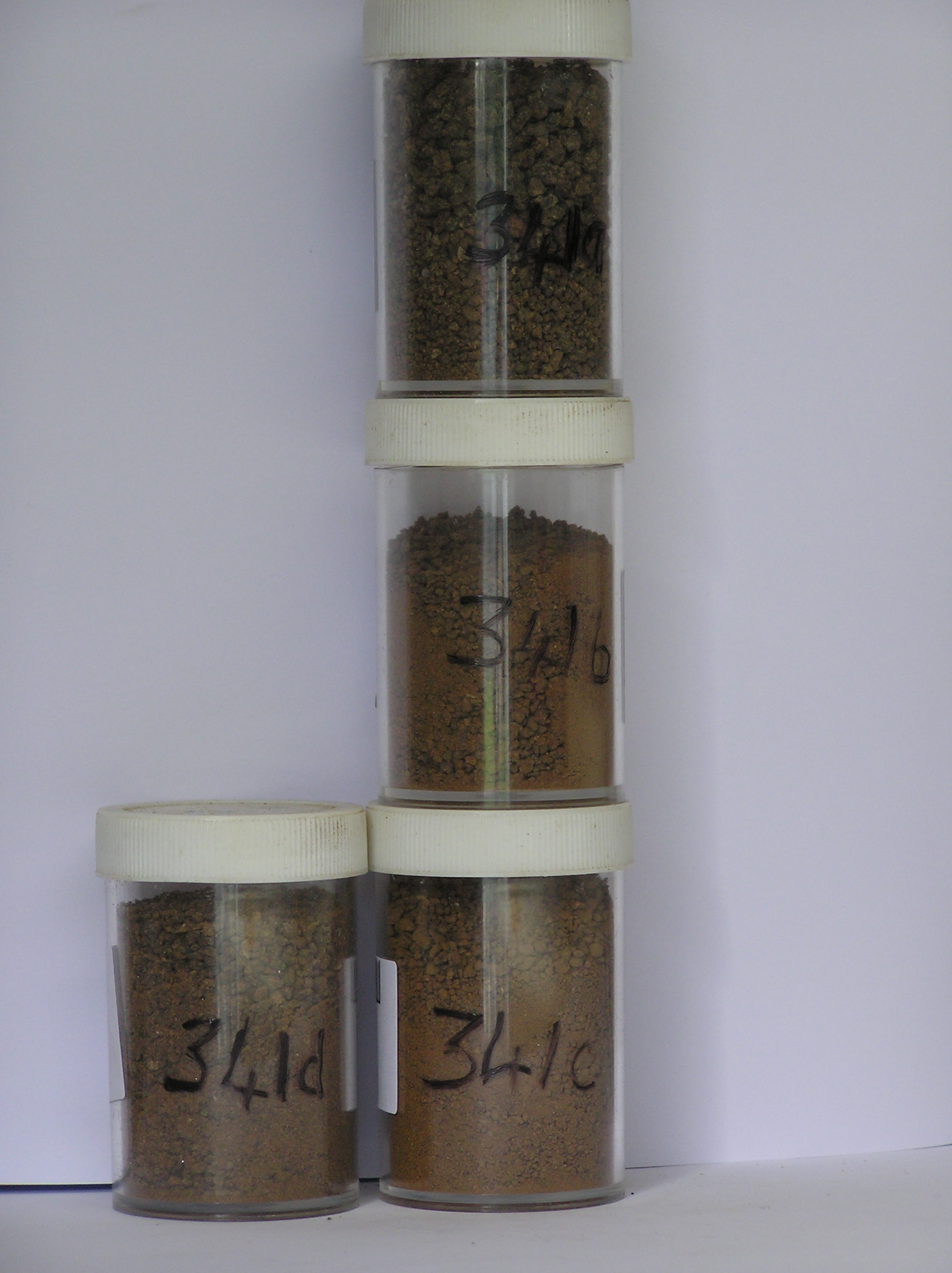
341a 1-0cm
101
surface pebbly granular sand between bedrock surface boulders
102
rock particles subangular, some platey, moderately stained and moderately to strongly altered
103
salt in patches on some rock surfaces,
341b 0-10cm
201
brown to dark brown (7.5YR 4/4) bouldery granular sand
202
many diffuse salts just below the soil surface
203
rock particles subangular, strongly stained and moderately to strongly altered
204
distinct boundary,
341c 10-26cm
301
brown to dark brown to strong brown (7.5YR 4/4 - 5/6) bouldery granular gravel
302
moderately cohesive
303
frosted
304
weakly developed vesicular structure
305
rock particles subrounded, moderately stained and moderately altered
306
sharp boundary, on icey cemented ground
Yes
a,b,c,d
Hard ice-cemented
26
4
(26cm)
Geoland
| Ferrar Dolerite forms prominent sills which because of its hardness persists as ridge top remnants; it has a strong columnar jointed form and joint plain |
| weathering results in a very knobbly or boulder like surface; the surface is old and clearly has not been glaciated for a long time; some weathering debris, mainly |
| exfoliated dolerite, accumulates in hollows |
| Soluble Salt |
| Concentration |
34100001
46.00
88.70
5.90
3.00
0.70
0.60
0.60
0.30
0.30
34100002
68.00
51.20
17.30
13.70
3.40
3.90
4.30
5.50
0.52
34100003
90.00
48.40
17.10
13.10
4.00
5.20
6.30
5.10
0.60
34100004
61.80
18.40
12.20
2.00
1.90
2.10
1.80
0.39
34100005
34100001
7.10
0.80
4.50
0.20
1.00
0.05
0.80
3.70
0.70
34100002
9.00
2.80
18.00
2.50
1.80
0.03
4.10
16.70
2.80
34100003
8.80
1.80
11.00
4.00
4.20
0.04
3.70
13.60
2.50
34100004
8.30
8.00
51.50
9.00
1.70
0.11
1.90
88.00
1.10
34100005
thenardite, gypsum
34100001
34100002
40
60
34100003
30
70
34100004
40
60
34100005
12-Dec-2005
Page 298 of 896
341