Ross Sea Region Soil Sites
350000
350
5-Dec-1972
IBC, GGC
Wright Valley, McMurdo Dry Valley region, Asgard range
Soil weathering examination
USGS 1:50,000 Antarctic Topo. Ser. Labyrinth Quadrangle
B&W Pro
No
160.8830
-77.6000
77deg 36.0'S
-160deg -53.0'E
cf. Notes for DESCR below
0
Nil
1,675
cf. Notes for GEOLAND below
(0o)
A dry site but small scattered snow remnants; no evidence of thawing or soil moistening
-25
Central Mountain
Bouldery till from dolerite with some sandstone
Nil observed but endolithic algae present in some sandstone outcrops
Nil at site
| SURFACE WEATHERING or |
| SURFACE FEATURES |
cf. Notes for SURFWEA below
Nil
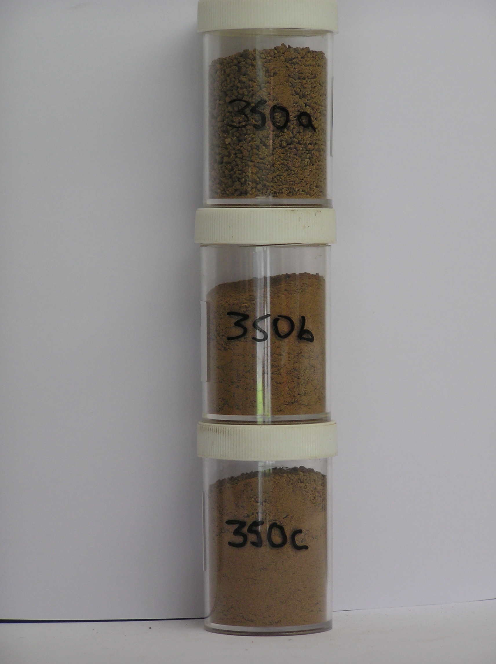
350a 2-0cm
101
surface cobbles pebbles and granular sand amongst small and medium boulders
102
rock particle rounded and moderately to strongly stained and some moderately altered,
350b 0-5cm
201
strong brown (7.5YR 5/6) gravelly sand
202
moderately cohesive
203
weakly developed vesicular structure
204
few diffuse salt patches
205
rock particles subrounded and moderately stained
206
indistinct boundary,
350c 5-20cm
301
strong brown (7.5YR 5/6) sandy gravel
302
weakly cohesive
303
rock particles subrounded and moderately stained
304
sharp boundary, on ice-cemented ground
Yes
a,b,c
Hard ice-cemented
20
4
(20cm)
Descr
| On the S side of Wright Valley in Sessrumnir Valley, approximately 2km NNE of Mt Freya; near the N end of a high valley shoulder surface; the site on a slight |
| rise on broad and undulating surface with many medium boulders; the site is near soil 349 but in a slight hollow where there appears to be little sandstone |
Geoland
| Tills in the alpine valleys of the Asgard Range are among the oldest known in the Transantarctic Mountains and based on ash occurrences, date from the |
| Miocene; the till sequences are complex with local alpine sourced moraine being distinguished from outside sources by the presence of granite erratics; the till at |
| this site is above the granite erratic moraine appears to be of local origin with less sandstone |
Surfwea
| Dolerite boulders mostly rounded with some ventiform shapes; strong pitting in fine grained clasts; some dolerite cavernously weathered; coarse dolerite with |
| granular disintegration and moderate exfoliation; sandstone clasts strongly stained and very small; salts beneath surface stones |
| Soluble Salt |
| Concentration |
35000001
25.00
68.00
19.90
7.60
0.70
1.40
1.20
0.70
0.39
35000002
88.00
44.20
24.10
18.10
2.80
6.00
3.20
1.30
0.29
35000003
85.00
29.00
31.90
21.60
5.40
6.10
4.30
1.00
0.52
35000004
35000001
7.60
1.05
2.80
7.00
1.50
0.02
0.60
11.30
0.70
35000002
7.90
1.70
4.80
10.80
2.90
0.03
1.10
17.70
1.00
35000003
8.40
0.90
4.70
0.30
0.30
0.04
1.80
2.80
1.40
35000004
thenardite
35000001
50
disordered
35000002
70
10
20
35000003
40
60
35000004
12-Dec-2005
Page 307 of 896
350