Ross Sea Region Soil Sites
358000
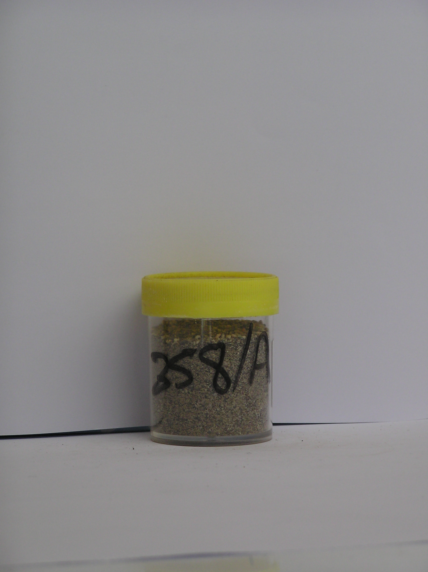
358
9-Dec-1972
IBC, GGC
Lower Wright Valley, McMurdo Dry Valley region
Soil weathering examination
USGS 1:50,000 Antarctic Topo. Ser. Lake Bonney Quadrangle
B&W Pro & B&W+CS Lsc
No
161.2950
-77.5167
77deg 31.0'S
-161deg -17.7'E
| On the SE side of the Wright Valley adjacent to the Meserve Glacier; a recent lateral moraine loop on the sloping valley side, approximately .5km uphill from the Meserve Hut |
| site; 15m from the glacier edge |
11
NW
660
cf. Notes for GEOLAND below
(11o)
The soil is moist; there is adjacent water flow from ice margin thawing
-22
Coastal Mountain
Stony till from schist, gneiss, granite and minor dolerite; a small amount of basalt
Nil observed
Hummocky ice-core
| SURFACE WEATHERING or |
| SURFACE FEATURES |
Rock clasts mainly angular and non fragmented; oxide staining on some granite clasts
Nil at site
358a 0-7cm
101
pale olive ( 5Y 6/3) bouldery sandy gravel
102
moist
103
rock particles angular to subangular and non stained but some weakly stained
104
sharp boundary
105
on ice
Yes
a
Ice cored
7
1
(7cm)
Geoland
| The Meserve Glacier is an alpine glacier with a well developed sequence of lateral moraines; they indicate the former history of the glacier; a volcanic cone in |
| the glacier neve provides datable material for determining the age of the moraines; the moraines date to 2.7my; advances and retreats appear to have been minor |
| over time; this sequence gives a good basis for determining soil weathering rates; the site is the youngest till |
| Soluble Salt |
| Concentration |
35800001
51.00
22.50
18.60
4.90
1.20
1.00
0.50
0.16
35800001
6.70
0.04
35800001
30
5
15
glass 50%
12-Dec-2005
Page 315 of 896
358