Ross Sea Region Soil Sites
359000
359
9-Dec-1972
IBC, GGC
Lower Wright Valley, McMurdo Dry Valley region
Soil weathering examination
USGS 1:50,000 Antarctic Topo. Ser. Lake Bonney Quadrangle
B&W Pro & B&W+CS Lsc
No
161.2950
-77.5167
77deg 31.0'S
-161deg -17.7'E
| On the SE side of the Wright Valley adjacent to the Meserve Glacier; a recent lateral moraine loop on the sloping valley side, approximately .5km uphill from the Meserve Hut |
| site; 25m from the glacier edge; a drier site not subject to water flow |
10
W
660
cf. Notes for GEOLAND below
(10o)
Dry soil and site
-22
Coastal Mountain
Stony till from schist, gneiss, granite and minor dolerite, sandstone and basalt
Nil observed
Nil
| SURFACE WEATHERING or |
| SURFACE FEATURES |
Rock clasts mainly angular; a poorly developed pavement; oxide staining on some granite clasts; a few thin salt efflorescences on some rocks
Nil at site
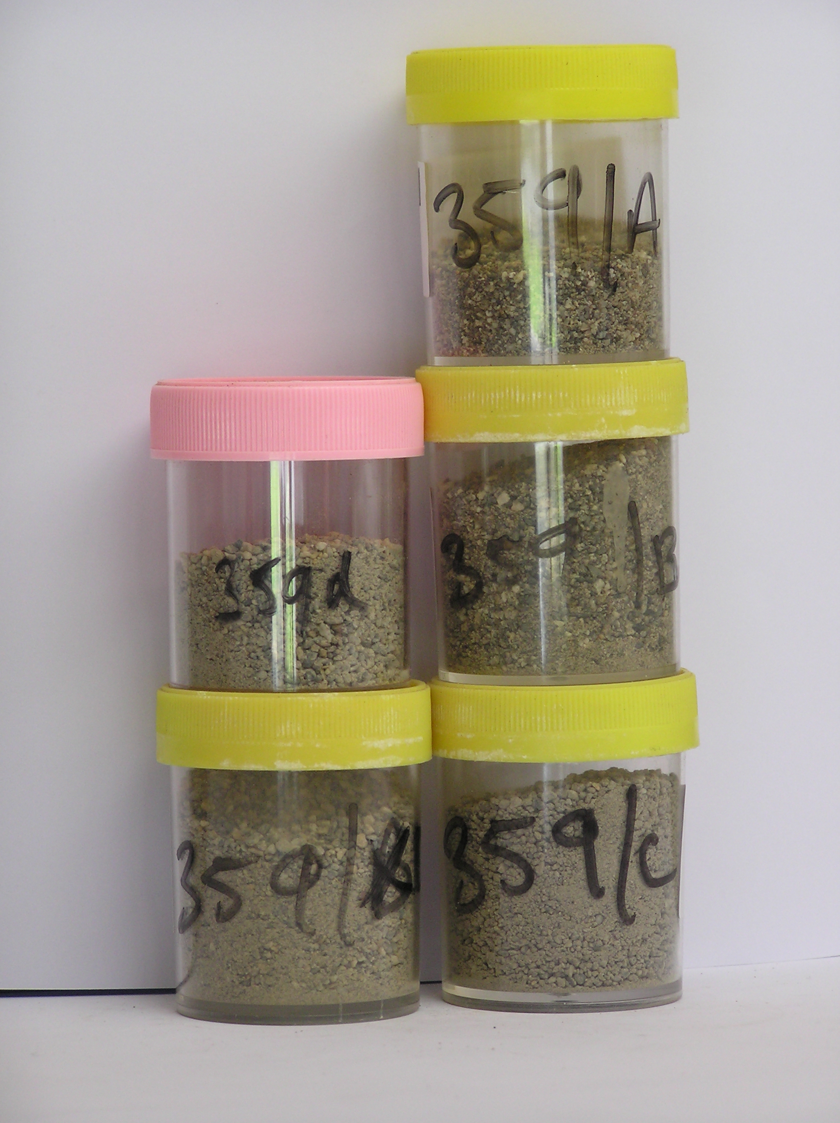
359a 6-0cm
101
surface boulders and pebbly gravel
102
non pavementic
103
rock particles angular and non to very weakly stained,
359b 0-10cm
201
light yellowish brown (2.5Y 6/4) bouldery sandy gravel
202
loose
203
a few small salt precipitations on some clasts
204
rock particles angular and non to very weakly stained
205
indistinct boundary,
359c 10-20cm
301
light yellowish brown (2.5Y 6/4) bouldery sandy gravel
302
loose
303
rock particles angular and unstained
304
indistinct boundary,
359d 30-30cm
401
light yellowish brown (2.5Y 6/4) bouldery sandy gravel
402
firmly cohesive
403
frosted
404
rock particles angular and unstained
405
sharp boundary, on hard ice-cemented ground
Yes
a,b,c,d,e
Hard ice-cemented
30
1/2
(30cm)
Geoland
| The Meserve Glacier is an alpine glacier with a well developed sequence of lateral moraines; they indicate the former history of the glacier; a volcanic cone in |
| the glacier neve provides datable material for determining the age of the moraines; the moraines date to 2.7my; advances and retreats appear to have been minor |
| over time; this sequence gives a good basis for determining soil weathering rates; till at this site is older |
| Soluble Salt |
| Concentration |
35900001
35900002
86.00
42.00
23.70
24.40
6.60
1.40
1.00
0.60
0.17
35900003
54.00
41.00
17.80
16.90
9.30
7.40
5.30
1.90
0.24
35900004
65.00
71.40
13.40
7.40
3.10
2.10
1.50
0.80
0.12
35900001
35900002
6.60
0.04
35900003
9.00
0.25
35900004
7.50
0.07
35900001
35900002
10
10
30
glass 50%
35900003
30
20
20
30
35900004
15
10
15
20
30
5
5
12-Dec-2005
Page 316 of 896
359