Ross Sea Region Soil Sites
364000
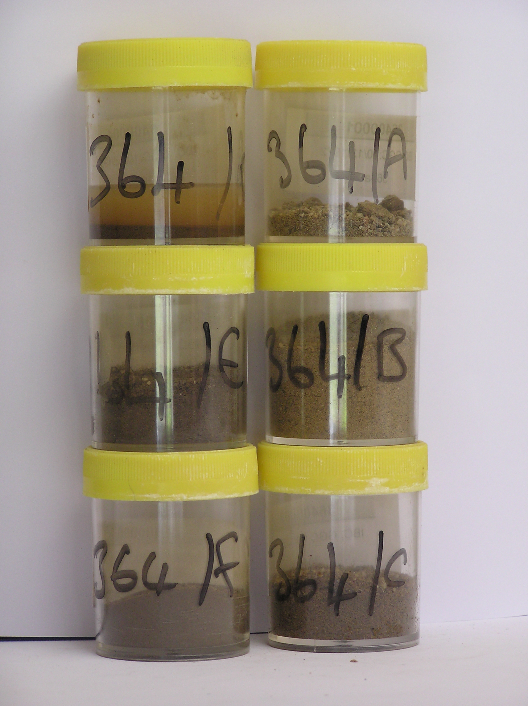
364
10-Dec-1972
IBC, GGC
Lower Wright Valley, McMurdo Dry Valley region
Soil weathering examination
USGS 1:50,000 Antarctic Topo. Ser. Lake Bonney Quadrangle
B&W+CS Lsc
No
162.3170
-77.5167
77deg 31.0'S
-162deg -19.0'E
| On the SE side of the Wright Valley on the NE side of the Meserve Glacier; beyond the furthermost distinct moraine ridge approximately 600m NE of the glacier edge; a long |
| smooth sloping low relief surface |
18
N
600
cf. Notes for GEOLAND below
(18o)
| Xerous to subxerous; little water available from snow melt but occasionally from light |
| summer snow falls; |
-22
Coastal Mountain
Mainly granite and schist derived sandy gravel till; possibly some black scoria seen in the samples?
(-22oC)
Nil observed
Nil
| SURFACE WEATHERING or |
| SURFACE FEATURES |
| Boulders above the ground surface are rare; surface clasts are well rounded and moderately ventiform; oxidation more distinct than on surfaces closer to the |
| glacier; salts beneath surface stones a well developed pebble and cobble pavement |
Nil
364a 2-0cm
101
surface pebbles, granules and sand
102
loose
103
coarser particles mainly subrounded
104
mostly weakly stained but some particles oxidised and altered,
364b 0-2cm
201
light yellowish brown (2.5Y 6/4) sandy gravel
202
weakly cohesive to loose in places with a weakly developed vesicular crust
203
rock particles mainly subrounded and weakly to non stained
204
distinct boundary,
364c 2-8cm
301
pale yellow (2.5Y 7/4) gravelly sand
302
firmly cohesive
303
abundant diffused and aggregated salts forming a firm distinct salic horizon
304
rock particles subrounded and unstained with some rock particles partly altered
305
indistinct boundary,
364d 8-20cm
401
dark yellowish brown (10YR 4/4 moist) sandy gravel
402
moderately cohesive
403
abundant diffuse salts forming a distinct salic horizon
404
rock particles subrounded to sub angular and unstained
405
distinct boundary,
364e 20-55cm
501
yellowish brown (10YR 5/6) sandy pebble to boulder gravel
502
loose to weakly cohesive
503
patchy salt efflorescences with some salt accumulations around disaggregating rocks
504
some patchy oxide staining
505
rock particles mainly subangular with some sub rounded clasts
506
indistinct boundary,
364f 55-80cm
601
light yellowish brown to light olive brown (2.5Y 6/4-5/4) sandy pebble and boulder gravel
602
loose to weakly cohesive
603
a few salt accumulations with some around disaggregating clasts
604
rock particles subangular to subrounded
Yes
a,b,c,d,e,f
Dry frozen
80
3/4
(>80cm)
Geoland
| The site is part of a moraine sequence associated with former advances of the Meserve Glacier, an alpine glacier; moraines closest to the glacier have more |
| distinct topography and moraine form; moraines are dated by the inclusion of debris from volcanic cones in the neve area; this surface may be older than alpine 3 |
| which is estimated to be between 3.6 and 2.2my |
| Soluble Salt |
| Concentration |
36400003
72.00
30.20
21.50
26.30
7.70
3.40
6.50
3.80
0.23
36400002
84.00
33.60
20.00
25.60
8.00
3.00
5.40
2.90
0.21
36400001
18.00
36400004
72.00
19.00
20.60
31.00
9.50
4.50
9.40
5.20
0.35
36400005
45.00
17.80
22.00
36.50
9.60
3.70
6.40
3.50
0.30
36400006
18.00
22.20
21.30
21.10
10.50
10.70
11.20
2.10
0.54
36400003
9.10
64.00
728.00
14.50
6.50
1.00
345.00
18.60
2.10
36400002
9.10
2.70
9.10
7.80
0.30
0.20
8.40
9.40
0.05
36400001
8.30
2.15
6.70
5.70
0.20
0.10
6.20
6.90
0.04
36400004
8.10
60.00
387.00
9.60
59.30
23.10
289.00
69.00
35.40
36400005
7.80
20.00
98.00
8.10
9.10
3.80
97.00
11.60
3.90
36400006
8.80
10.50
52.60
6.50
7.20
2.50
53.30
9.60
1.40
36400003
50
5
10
20
15
36400002
45
10
15
10
20
36400001
36400004
70
20
10
36400005
75
5
10
5
5
36400006
55
20
10
15
12-Dec-2005
Page 321 of 896
364