Ross Sea Region Soil Sites
365000
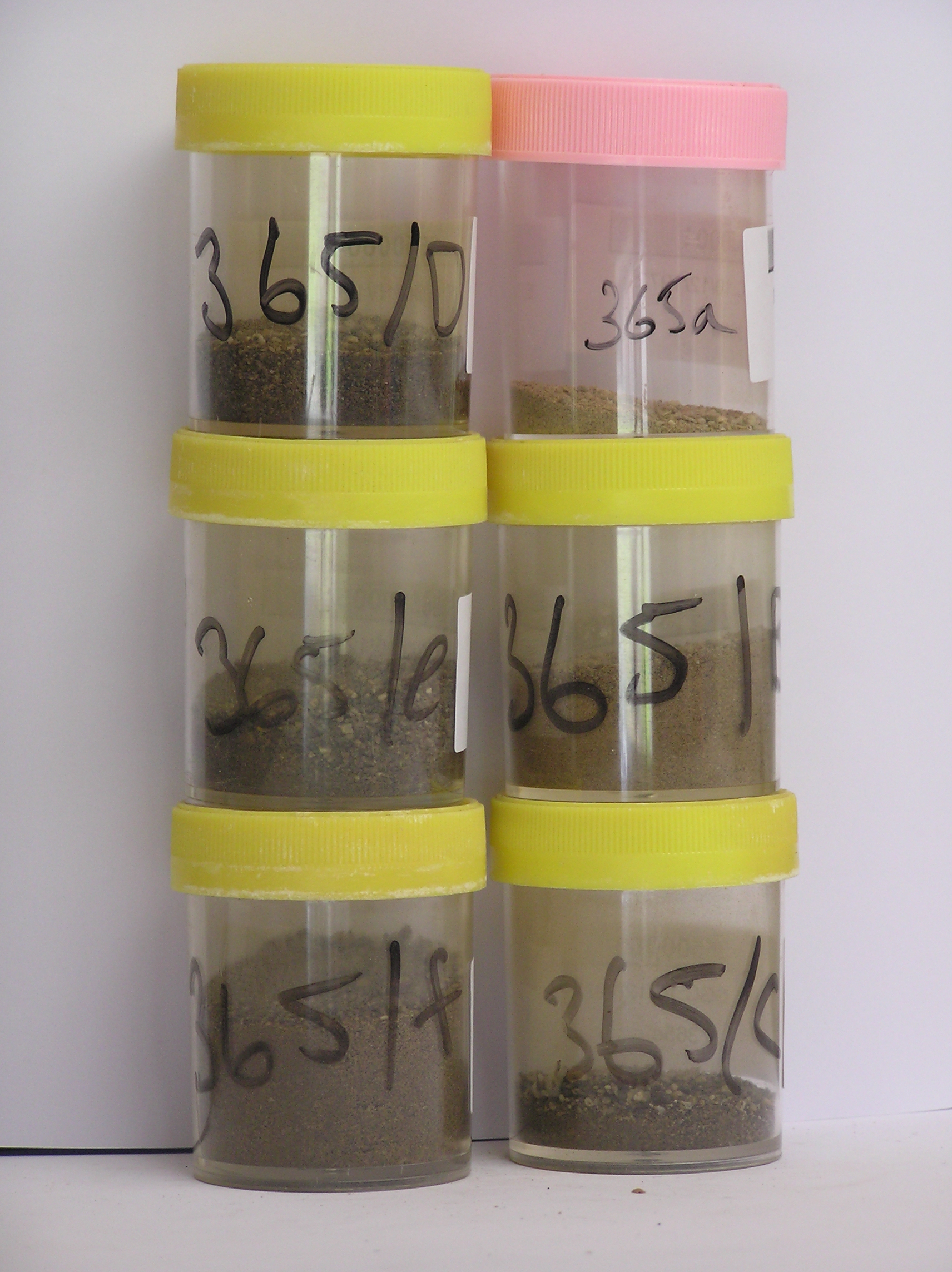
365
10-Dec-1972
IBC, GGC
Lower Wright Valley, McMurdo Dry Valley region
Soil weathering examination
USGS 1:50,000 Antarctic Topo. Ser. Lake Bonney Quadrangle
B&W
No
162.3000
-77.5167
77deg 31.0'S
-162deg -18.0'E
| On the SE side of the Wright Valley on the NE side of the Meserve Glacier; an inner distinct lateral moraine ridge approximately 300m NE of the glacier edge; a long smooth |
| sloping ridge with the site 20m east of the ridge crest |
14
N
600
cf. Notes for GEOLAND below
(14o)
| Xerous to subxerous; little water available from snow melt but occasionally from light |
| summer snow falls; |
-22
Coastal Mountain
Mainly granite and schist derived with more schist than in the other two profiles; probably a lot of recycled material; some small red and black scoria fragments
(-22oC)
Nil observed
Nil
| SURFACE WEATHERING or |
| SURFACE FEATURES |
| Surface boulders are up to 1.5m and upstanding but most are smaller; some cavernous weathering and surface exfoliation a weakly to moderately developed |
| pavement surface |
Site is a previous profile pit by US investigators
365a 4-0cm
101
surface pebbles cobbles and boulders and granular sand
102
loose
103
rock particles subangular and very weakly stained,
365b 0-7cm
201
pale yellow to very pale brown (2.5Y 7/4-10YR 7/3) pebbly to bouldery sandy gravel
202
weakly cohesive with weakly developed vesicular crust in places
203
rock particles mainly subangular and unstained but some clasts partly disaggregating
204
distinct boundary,
365c 7-30cm
301
light yellowish brown (2.5Y 6/4) pebbly to bouldery sandy gravel
302
loose to weakly cohesive
303
a few fine salt flecks with occasional salt accumulations around a few clasts
304
rock particles mainly subangular with some weakly disaggregating
305
indistinct boundary
306
365d 30-60cm
401
light yellowish brown (2.5Y 6/4) pebbly to bouldery sandy gravel
402
loose to weakly cohesive
403
occasional salt flecks with some accumulations around a few stones
404
rock particles subangular and unstained
405
indistinct boundary,
365e 60-120cm
501
light yellowish brown (2.5Y 6/4) bouldery gravelly sand
502
loose
503
occasional salt flecks with some accumulations around a few stones
504
rock particles subangular
505
indistinct boundary,
365f 120-125cm
601
light yellowish brown (2.5Y 6/4) sandy to silty bouldery gravel
602
loose
603
rock particles subangular and unstained
Yes
a,b,c,d,e,f
Dry frozen
125
2
(125cm; >125cm)
Geoland
| The site is part of a moraine sequence associated with former advances of the Meserve Glacier, an alpine glacier; moraines closest to the glacier have more |
| distinct topography and moraine form; moraines are dated by the inclusion of debris from volcanic cones in the neve area; this moraine is of an intermediate age |
| in the sequence; volcanic material is more common |
| Soluble Salt |
| Concentration |
36500001
36500002
63.00
36500003
45.00
36500004
58.00
36500005
56.00
36500006
75.00
36500001
8.00
1.06
3.00
2.50
0.10
2.90
2.50
36500002
8.70
3.25
12.00
4.50
0.50
0.20
13.20
5.00
0.20
36500003
8.50
7.73
30.00
6.50
1.00
1.00
33.70
5.00
0.20
36500004
8.30
9.33
35.00
7.50
2.00
2.00
48.20
4.00
0.10
36500005
8.40
10.64
45.00
5.00
3.00
2.00
43.50
10.00
0.20
36500006
9.00
4.43
15.00
4.00
2.00
1.00
14.10
8.00
0.10
36500001
36500002
36500003
36500004
36500005
36500006
12-Dec-2005
Page 322 of 896
365