Ross Sea Region Soil Sites
366000
366
14-Dec-1972
IBC, GGC
McMurdo Dry Valley region; McKelvey Valley
Soil weathering examination
USGS 1:50,000 Antarctic Topo. Ser. Victoria Upper Lake Quadrangle
No
162.5080
-77.4383
77deg 26.3'S
-162deg -30.5'E
cf. Notes for DESCR below
0
Nil
900
Tills in Victoria and McKelvey Valleys are part of a sequence of old glacial deposits; the sequence history is less well known than those of Wright Valley
(0o)
0
6.0
Beneath boulder
3
4.0
30cm from boulder edge 3cm below surface
7
2.0
at boulder edge 7cm below ground surface
A dry site with no snow patches
-24
Coastal Mountain
Dolerite and granite sandy bouldery gravel till
(-24oC)
Nil observed
Nil
| SURFACE WEATHERING or |
| SURFACE FEATURES |
Scattered surface boulders with few upstanding; a moderately developed surface pavement
Nil
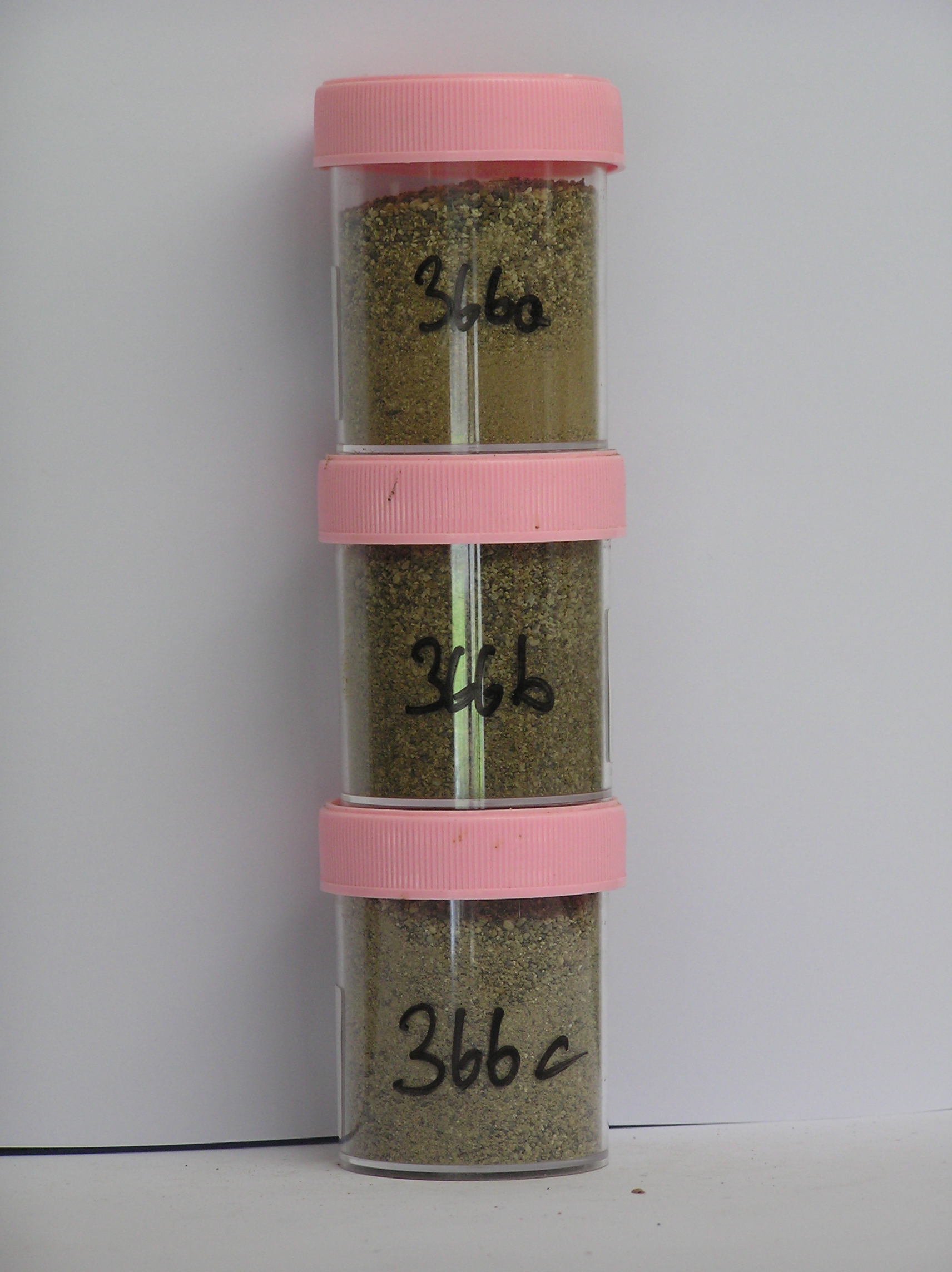
366a 0-5cm
101
from beneath a surface boulder
102
brownish yellow (10YR 6/6) sandy gravel
103
moderately cohesive
104
weakly developed vesicular structure
105
rock particles subangular and weakly stained,
366b 0-5cm
201
30cm from rock edge
202
light olive brown (2.5Y 5/4) sandy granular gravel
203
loose
204
rock particles subangular and weakly stained,
366c 0-5cm
301
5cm from rock edge
302
light yellowish brown (2.5Y 6/4) sandy gravel
303
loose to weakly cohesive
304
rock particles subangular and weakly stained
Yes
a,b,c
0
3
Descr
| On the S side of McKelvey Valley at its junction with Bull Pass; a low north sloping ridge surface; a large boulder was found to have differing soil temperatures |
| beneath and adjacent to the boulder; samples were collected at differing positions to see if there might be noticeable weathering differences |
| Soluble Salt |
| Concentration |
36600001
64.00
36600002
62.00
36600003
61.00
36600001
36600002
36600003
36600001
36600002
36600003
12-Dec-2005
Page 323 of 896
366