Ross Sea Region Soil Sites
382000
382
21-Nov-1977
IBC, GGC
Wright Valley at the Western end in the Asgard Range, at the SW end of Koenig Valley, approximately 1km SSE of Mt Thor
Soil weathering examination
USGS, Antarctica 1:50,000 Topo. Ser. 1977 Labyrinth Antarctica
CS Lscp
No
160.7330
-77.6100
77deg 36.6'S
-160deg -44.0'E
On the youngest moraine associated with a valley head cirque ice tongue in Koenig Valley; a coarse bouldery and gently sloping uneven surface with a thin till cover over ice
6
W
1,675
cf. Notes for GEOLAND below
(6o)
Recent 3 cm snowfall with some thawing and water films on rock surfaces
-30
Inland Mountain
Dolerite in coarse clasts (up to 1.5m) that have been pre weathered with some sandstone fragments
Nil observed
Nil
| SURFACE WEATHERING or |
| SURFACE FEATURES |
Surface clasts mainly angular to subangular with distinct surface staining
Nil
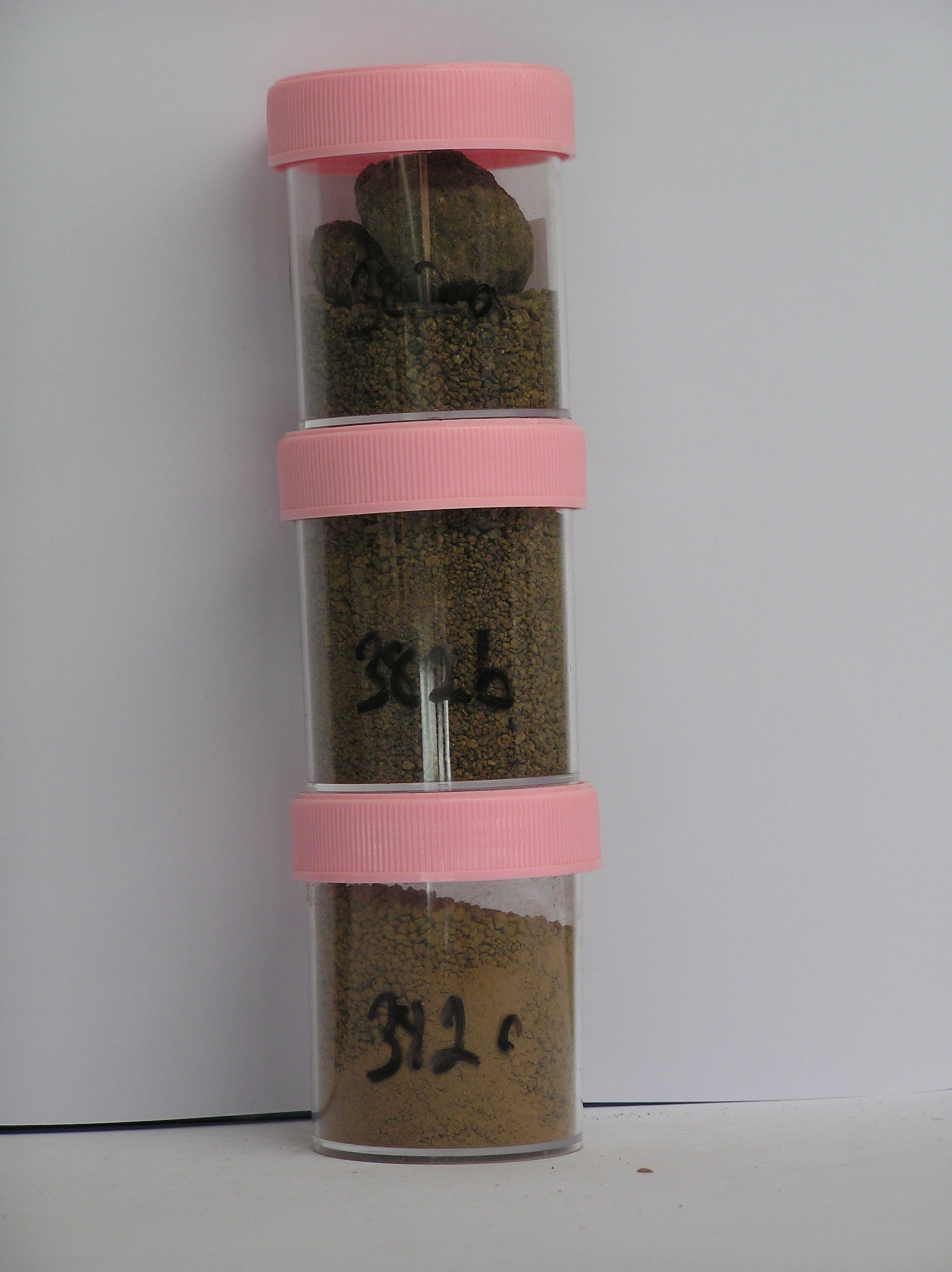
382a 2-0cm
101
surface boulders, cobbles and granular gravel
102
subrounded and mostly distinctly stained
103
many smaller particles are distinctly altered,
382b 0-5cm
201
dark yellowish brown (10YR 4/4) bouldery gravel
202
loose
203
smaller particles mainly subangular and many strongly stained and moderately altered
204
sharp boundary,
382c 5-10cm
301
dark yellowish brown (10YR 4/6) bouldery gravel
302
ice cemented
303
rock particles subangular and many distinctly stained and moderately altered
Yes
a,b,c
Stagnant ice
5
1
(5cm)
Geoland
| The Asgard Range is comprised of Beacon Sandstone and Ferrar Dolerite; the landscape is ancient with the high altitude valley cirques cut in pre Miocene time; |
| subsequent glaciation has been restricted mainly to valley head cirque type activity; the glacial deposits represent accumulations of local head wall materials |
| which have probably been weathered in place before incorporation into local glaciers |
| Soluble Salt |
| Concentration |
38200001
89.00
38200002
64.00
38200003
75.00
38200001
38200002
38200003
38200001
38200002
38200003
12-Dec-2005
Page 339 of 896
382