Ross Sea Region Soil Sites
387000
387
22-Nov-1977
IBC, GGC
Wright Valley at the Western end in the Asgard Range, at the NW end of Koenig Valley, approximately 1.3km NE of Mt Thor
Soil weathering examination
USGS, Antarctica 1:50,000 Topo. Ser. 1977 Labyrinth Antarctica
CS Lscp & Pro
No
160.7720
-77.5917
77deg 35.5'S
-160deg -46.3'E
| A prominent near level moraine bench surface near the mouth of Koenig Valley; a moderately bouldery surface with boulders upstanding to 75cm; the sample site in near the |
| centre of the surface |
0
Nil
1,560
cf. Notes for GEOLAND below
(0o)
Snow cover from a recent fall with surface moistening to around 1cm
-30
Inland Mountain
Mainly doleritic moraine with some sandstone
Nil observed
Nil
| SURFACE WEATHERING or |
| SURFACE FEATURES |
| Surface dolerite boulders subrounded to rounded with some cavernous weathering and exfoliation; strongly stained; some pitting and polish; salts beneath |
| some surface clasts |
Nil
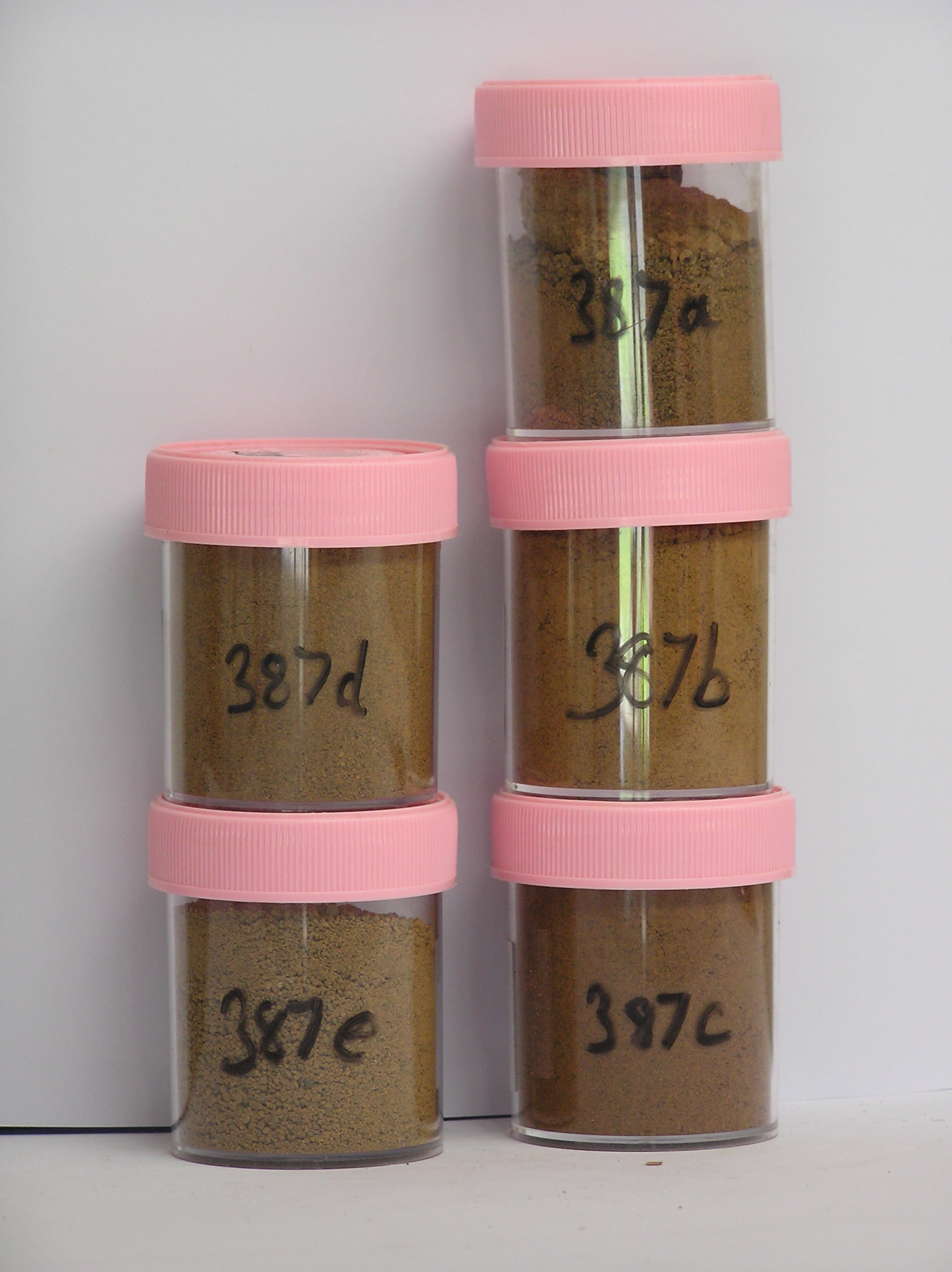
387a 2-0cm
101
surface cobbles and pebbles (moist)
102
rounded to subrounded, many clasts strongly stained and pitted with some disaggregating
103
sandstone particles strongly oxidised
104
a few salt precipitations,
387b 0-3cm
201
strong brown (7.5YR 5/8) sandy gravel
202
weakly to moderately cohesive
203
weakly developed vesicular structure
204
rock particles mainly subrounded and moderately stained and some moderately altered
205
salts beneath some stones
206
indistinct boundary,
387c 3-24cm
301
strong brown to yellowish red (7.5YR 5/6 - 5YR 5/8) sandy gravel
302
weakly to moderately cohesive and weakly developed vesicular structure
303
diffuse patchy salt flecks and around stones
304
some salts precipitating on the exposed soil pit face
305
rock particles mainly subrounded and weakly stained but some partly altered
306
distinct boundary,
387d 24-46cm
401
brown to dark brown (10YR 4/4) sandy gravel
402
loose to weakly cohesive
403
rock particles mainly subangular and unstained but some disaggregating
404
smaller particles partly altered
405
sharp boundary,
387e 46-49cm
501
brown to dark brown (7.5YR 4/4) ice-cemented sandy gravel
Yes
a,b,c,d,e
Dry frozen over ice-cemented
46
4/5
(46cm)
Geoland
| The Asgard Range is comprised of Beacon Sandstone and Ferrar Dolerite; the landscape is ancient with the high altitude valley cirques cut in pre Miocene time; |
| subsequent glaciation has been restricted mainly to valley head cirque type activity; the glacial deposits on the higher bench surfaces near the valley mouth |
| probably relate early cirque filled ice; there are occasional granite erratics |
| Soluble Salt |
| Concentration |
38700001
35.00
38700002
71.00
38700003
55.00
38700004
58.00
38700005
46.00
38700001
38700002
38700003
38700004
38700005
38700001
38700002
38700003
38700004
38700005
12-Dec-2005
Page 344 of 896
387