Ross Sea Region Soil Sites
451000
451
12-Dec-1979
IBC, GGC
West Antarctica in the southern end of the Ellsworth Mountains
Soil weathering examination
US Geological Survey, 1:250 000, 1967, Union Glacier
Cs Lscp
No
-82.1667
-79.8750
79deg 52.5'S
82deg 10.0'E
| The Enterprise Hills region of the Ellsworth Mountains; on a small un-named peak at the head of Bell Valley, approximately 6km north of Parrish Pk; the sample site is a |
| vertical cleft near the top of the peak about 600m above ice levels |
30
S
1,200
cf. Notes for GEOLAND below
Soil is dry but snow is active against rock surfaces in the region
-20
Inland/Coastal Mountain
Fragmented quartzitic rock with finer shaley sediments in bands in rock clefts
Nil observed
Nil
| SURFACE WEATHERING or |
| SURFACE FEATURES |
The rock outcrops have strong surface staining
Nil
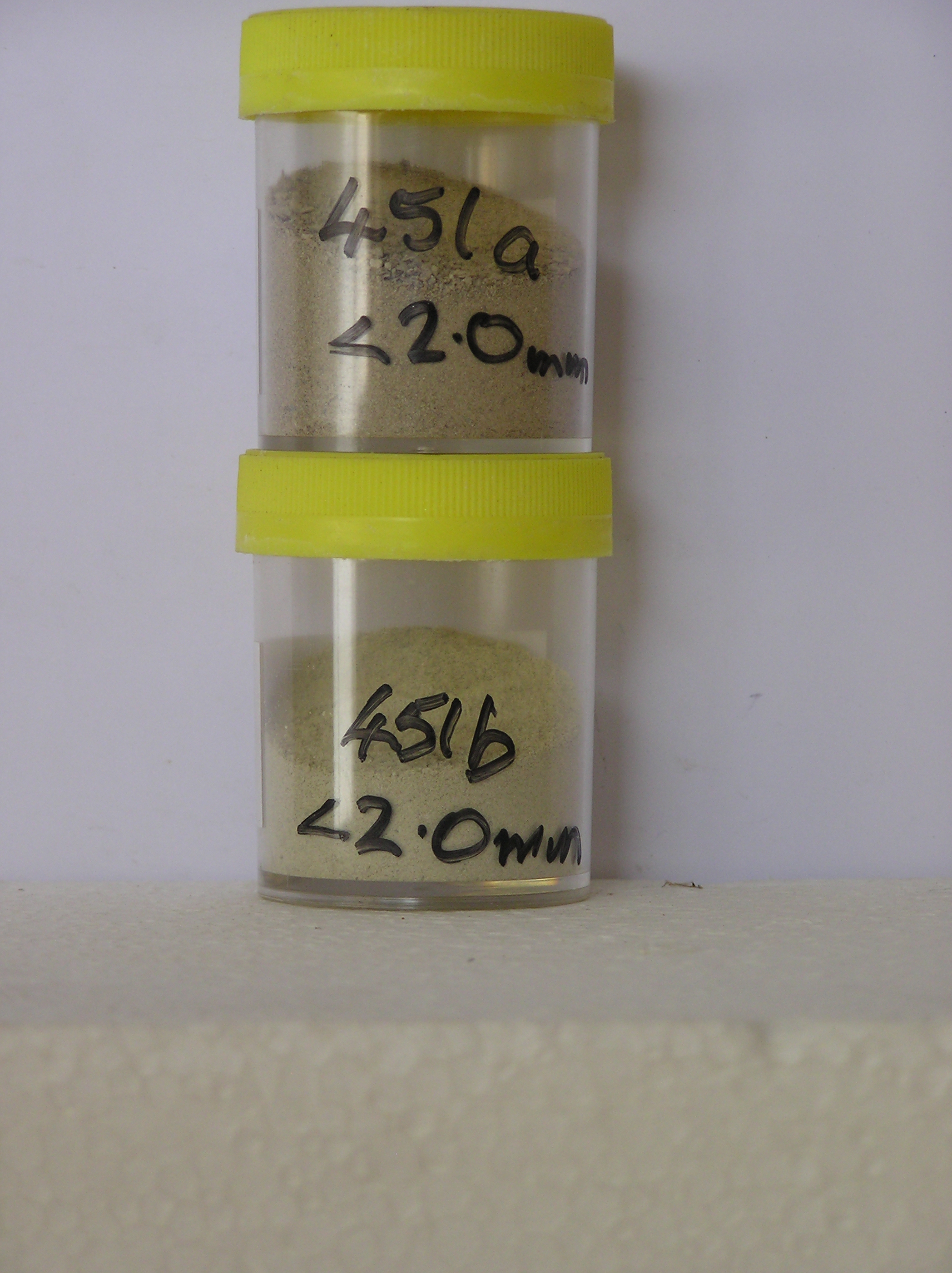
451a 0-12cm
101
pale yellow (2.5Y 7/4) gravelly silty sand
102
loose
103
rock particles angular, tabular and some weakly stained
104
indistinct boundary,
451b 12-38cm
201
pale yellow (5Y 7/3/ - 8/3) silty sand
202
weakly cohesive
203
a few rock particles with diffuse oxide coatings extending by 1-2mm into the surrounding matrix
Yes
a,b
38
2/3
(>38cm)
Geoland
| The Ellsworth Mountains comprise a thick sequence of folded metasedimentary rocks comprising limestones, conglomerates and quartzites dating to |
| Precambrian; the West Antarctic Ice Sheet is believed to have fluctuated greatly in response to global sea level changes and evidence of these fluctuations should |
| be present in the tills and soil weathering record |
| Soluble Salt |
| Concentration |
45100001
53.60
26.10
19.60
20.20
11.30
6.90
7.70
7.50
0.40
45100002
97.80
3.80
12.30
24.80
17.70
10.30
16.10
14.70
0.10
45100001
4.50
2.70
3.87
9.75
4.82
0.35
2.27
14.79
0.10
45100002
5.00
6.30
10.78
15.30
18.11
0.46
3.76
14.50
3.00
45100001
90
3
5
tr crist.
45100002
94
2
2
2
12-Dec-2005
Page 408 of 896
451