Ross Sea Region Soil Sites
452000
452
12-Dec-1979
IBC, GGC
West Antarctica in Ellsworth Land at the southern end of the Ellsworth Mountains
Soil weathering examination
US Geological Survey, 1:250 000, 1967, Union Glacier
CS Pro
No
-82.1667
-79.8750
79deg 52.5'S
82deg 10.0'E
| The Enterprise Hills region of the Ellsworth Mountains; on a small un-named peak at the head of Bell Valley, approximately 6km north of Parrish Pk; the sample site is on a |
| steep lower slope of a small peak about 550m above ice levels |
30
S
1,150
cf. Notes for GEOLAND below
| The ground surface has a 4cm snow cover which had partly thawed moistening the surface |
| 2cm of the soil |
-20
Inland/Coastal Mountain
Till and slope debris from quartzitic rocks
Nil observed
Nil
| SURFACE WEATHERING or |
| SURFACE FEATURES |
Surface rocks are angular pebbles to small boulders with many that have strong surface staining; some salts are present beneath surface stones
Nil
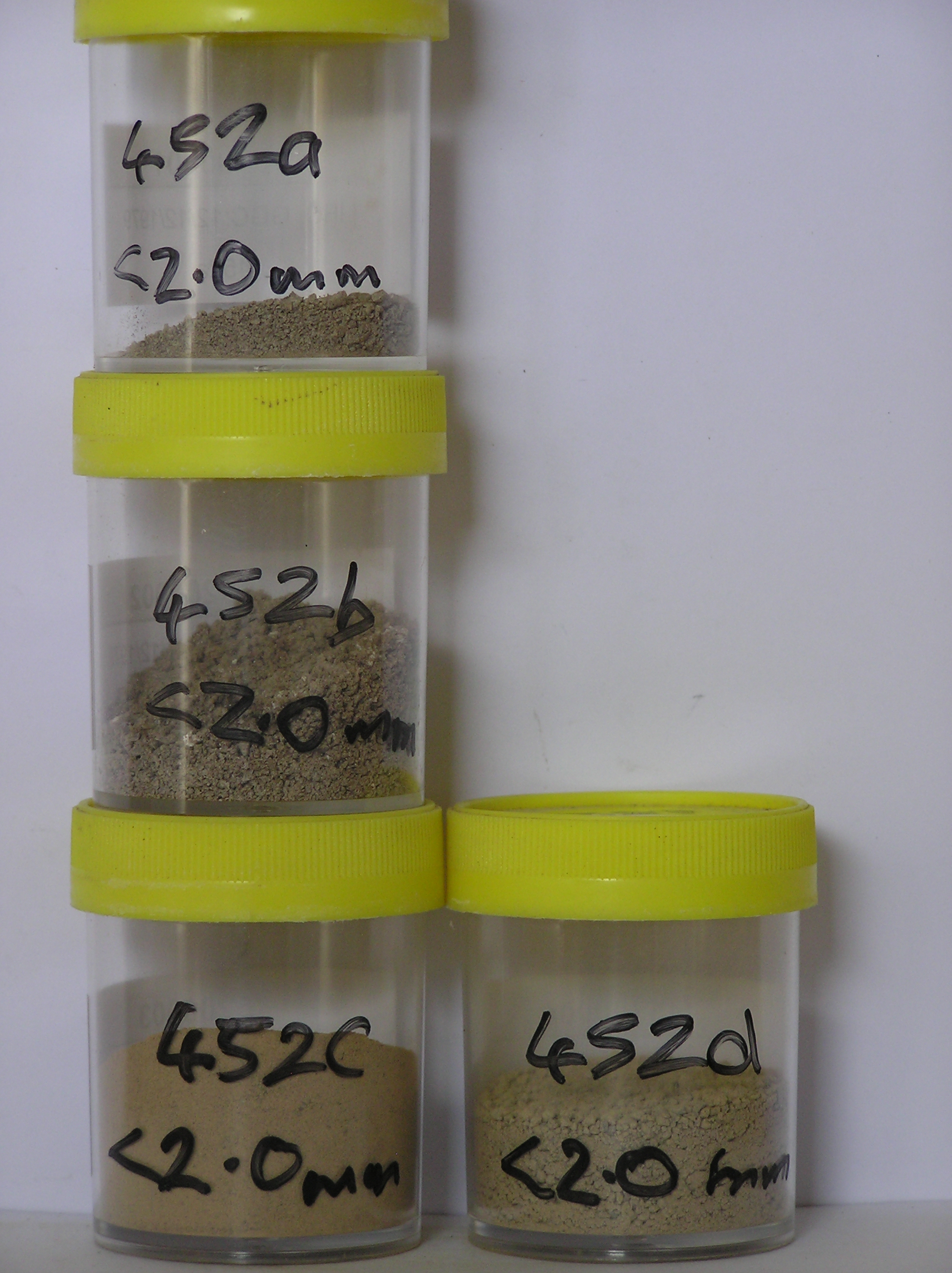
452a 2-0cm
101
surface boulders and pebbly gravel
102
some larger clasts strongly stained and angular
103
many smaller particles with a distinct surface staining which penetrates 1-2mm into the rock surface
104
some oxide alteration within the rock fragment centres
105
some salts with an acicular form,
452b 0-5cm
201
brown (10YR 5/3) granular pebbly sand
202
moist
203
weakly cohesive
204
abundant diffuse salts
205
rock particles angular with some diffuse staining and some distinctly altered
206
distinct boundary
207
452c 5-15cm
301
light yellowish brown (10YR 6/4) silty gravel
302
loose to weakly cohesive
303
| rock particles angular to subrounded with weak surface staining but moderate alteration and internal oxidation in |
| some clasts |
304
sharp boundary,
452d 15-20cm
401
brown (7.5YR 5/4) silty gravel
402
very firm and hard frozen
403
rock particles subrounded to subangular and most unstained but some partly oxidised
Yes
a,b,c,d
Ice-cemented
15
4
(15cm)
Geoland
| The Ellsworth Mountains comprise a thick sequence of folded metasedimentary rocks comprising limestones, conglomerates and quartzites dating to |
| Precambrian; the West Antarctic Ice Sheet is believed to have fluctuated greatly in response to global sea level changes and evidence of these fluctuations should |
| be present in the tills and soil weathering record |
| Soluble Salt |
| Concentration |
45200001
25.50
45200002
53.50
19.80
16.20
20.40
12.50
8.90
11.00
10.80
0.10
45200003
58.70
32.10
14.00
14.90
9.30
8.20
12.30
0.80
0.70
45200004
75.80
26.80
15.90
13.10
9.20
9.70
12.80
12.10
0.10
45200001
45200002
5.40
8.80
12.93
32.51
0.29
0.15
67.29
3.00
45200003
5.80
3.60
7.74
10.40
8.07
0.23
0.05
20.42
1.30
45200004
5.80
1.30
2.44
1.43
2.96
0.15
0.05
3.98
0.07
45200001
45200002
92
3
2
2
2
tr crist
45200003
97
3
45200004
94
3
3
12-Dec-2005
Page 409 of 896
452